2023.2.2.8.09
·
File
·
2003
Part of Dr. Paul Sanborn fonds
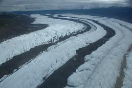
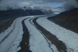
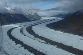
Slide roll contains the following photographs:
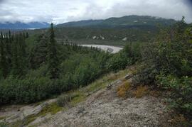
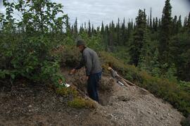
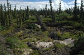
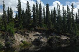
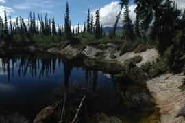
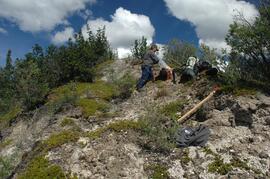
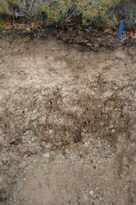
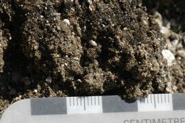
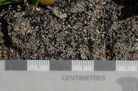
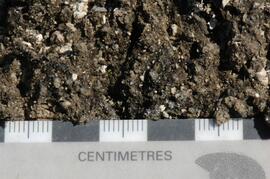
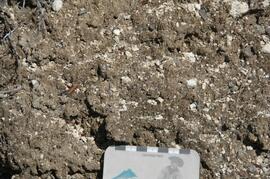
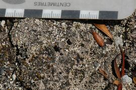
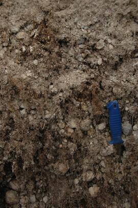
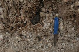
Y03-11 (Silver City road section)
Date: August 12, 2003
Location Coordinates: 61° 2’ 3.6” N, 138° 22’ 48.8” W, 806.7 m asl (± 8.7 m)
Site Description: roadcut through SW-facing hill exposes loess over glaciofluvial gravel, with 4 paleosols in colluviated loess
Sample Depths & Descriptions:
- Y03-11-01 - 0-18 cm - ACk (fresh loess)
- Y03-11-02 - 18-47 cm - Soil 1 – Bmk
- Y03-11-03 - 47-100 cm - Loess
- Y03-11-04 - 100-110 cm - Soil 2 – includes charcoal
- Y03-11-05 - 110-160 cm - Loess with secondary carbonate in root channel
- Y03-11-06 - 160-170 cm - Soil 3 – Ahk with charcoal
- Y03-11-07 - 160-170 cm - Soil 3 – Bmk
- Y03-11-08 - 170-198 cm - Loess with secondary carbonate in root channel
- Y03-11-09 - 198-202 cm - Soil 4 – Ahk – laterally continuous for ~ 1.5 m
- Y03-11-10 - 202-230 cm - Loess with secondary carbonates in roots
- Y03-11-11 - 230-255 cm - Soil 5 – Ahk – includes abundant charcoal bands
- Y03-11-12 - 230-255 cm - Soil 5 – Bmk – infilled squirrel burrows immediately below
- Y03-11-13 - 255-300 cm+ - Loess
Additional notes on modern soil & paleosols:
Soil 1 - consists of Bmk horizon material with 2 distinct colours: 7.5YR 4/3 d & 10YR 4/3 d
- loess between Soils 1 & 3 is sandier
Soil 2 - 90% Ahk material, 2-10 cm thick
- Ahk – 10YR 3/2 d
- Bmk – 7.5YR 4/2 d
- less abundant carbonate than in paleosols & loess below
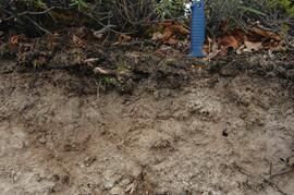
Soil 3 - most of exposure has Ahk (2-5 cm thick) over Bmk (4-10 cm thick), with carbonates as for Soil 5
Soil 4 - mostly Ahk (10YR 3/2 d) material 2-8 cm thick, some Bmk (10YR 4/2 d) < 2 cm thick, with carbonates as for Soil 5
Soil 5 - complex intermixing of Ahk & Bmk material, charcoal most abundant in Ahk
- individual colour bands 2-10 cm thick
- overall dip of horizons (10° to W) is parallel to surface
- similar size & density of secondary carbonates as in loess above & below; associated with root channels, < 5 mm diameter, covering ~ 5% of surface
Slide roll 4, #36-32 (corresponding prints and negatives: Print roll 5, #26-30)
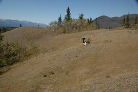
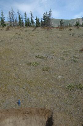
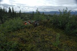
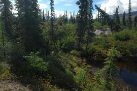
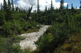
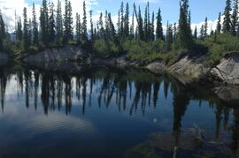
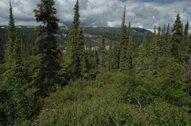
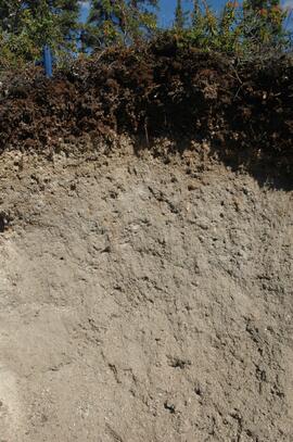
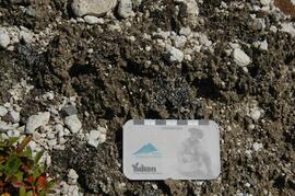
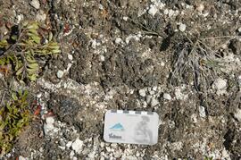
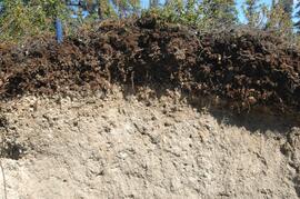
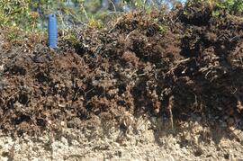
Y03-12 (island off Slims River delta)
Date: August 13, 2003
Location Coordinates: 61° 1’ 9.1” N, 138° 29’ 27.9” W, 819 m asl (± 6.0 m)
Site Description: good grassland development on undulating aeolian veneer over bedrock, SW aspect; vegetation: A. frigida, C. purpurescens, P. glauca, Erigeron, Plantago, Oxytropis; good crust cover, mossy on more northerly aspects
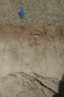
Sample Depths & Descriptions:
- Y03-12-01 - Crust
- Y03-12-02 - 0-10 cm - ACk
Slide roll 4, #31-10 (miscellaneous site views of Y03-12 & Slims R delta island)