Showing 805 results
Archival description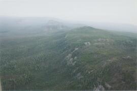
Norman Range (1)

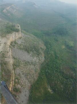
Norman Range (2)
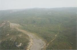
Norman Range (3)
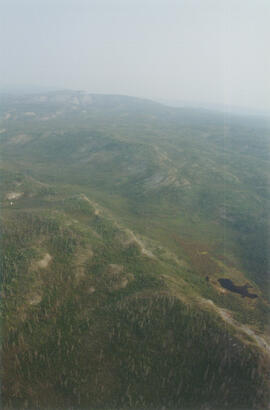
Norman Range (4)
Norman Range (5)
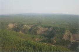
Norman Range (6)
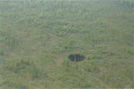
Norman Range sinkhole
Norman Range site with loess over till (1)
Norman Range site with loess over till (2)
Norman Range site with loess over till (3)

North side of the Yukon River, mid-Pleistocene basalts west of gully

North side of Volcano Mountain

North side of Volcano Mountain

North side of Volcano Mountain

North side of Volcano Mountain

North side of Volcano Mountain

North side of Volcano Mountain

Nostoc Crust (Kluane NP, Lower Slims)
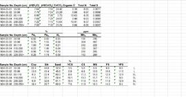
Paleosol data from Inlin Brook and Red Ochre River sites

"Paleosol Studies at Inlin Brook, NWT: August, 2004 - Report to the Geological Survey of Canada"
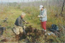
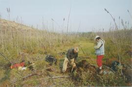
Paul Sanborn holding Owen Hughes' shovel
Paul Sanborn holding Owen Hughes' shovel
Paul Sanborn holding Owen Hughes' shovel
Paul Sanborn holding Owen Hughes' shovel

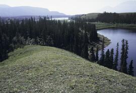
Pelly River and Yukon River confluence

Pelly River and Yukon River confluence
"Physical stratigraphy and regional setting of the Lost Chicken placer mine, Alaska"
"Physical stratigraphy and regional setting of the Lost Chicken placer mine, Alaska"
"Physical stratigraphy, sedimentology, and regional setting of Pliocene deposits at the Lost Chicken placer mine, east-central Alaska"
"Physical stratigraphy, sedimentology, and regional setting of Pliocene deposits at the Lost Chicken placer mine, east-central Alaska"
"Pliocene and Quaternary pollen from the Lost Chicken Mine, Alaska"
"Pliocene and Quaternary pollen from the Lost Chicken Mine, Alaska"
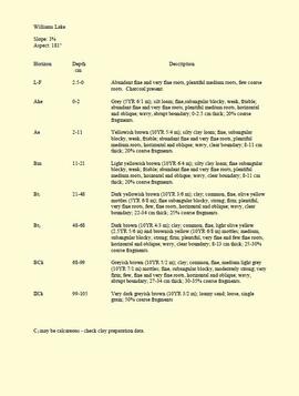
"Profile Descriptions"
"Project Completion Report to the Science Council of British Columbia: Effects of Prescribed Fire on Sulphur in Forest Soils"
"Range Reference Area Exclosure Locations, Ft. St. John Forest District"
"Range Reference Area Exclosure Locations, Ft. St. John Forest District"
Rat Lake
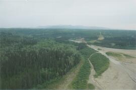
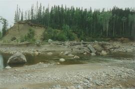
Red Ochre River (1)
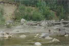
Red Ochre River (2)
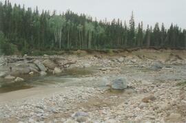
Red Ochre River (3)
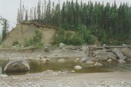
Red Ochre River (4)
Red Ochre River (5)
Red Ochre River (6)
Red Ochre River (7)
Red Ochre River (8)
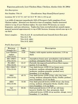
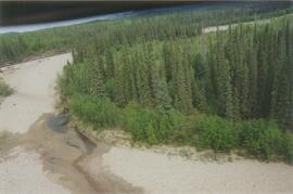
"Riparian paleosols, Lost Chicken Mine, Chicken, Alaska (July 20, 2004)"
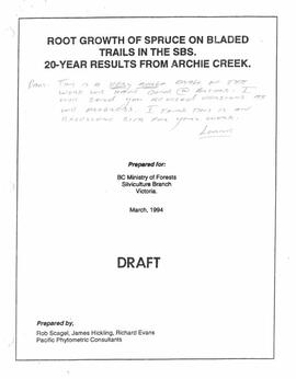
"Root Growth of Spruce on Bladed Trails in the SBS: 20-year results from Archie Creek"
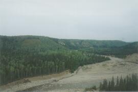
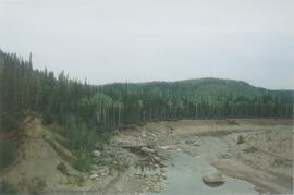
Scablands near Brackett Lake (1)
Scablands near Brackett Lake (1)
Scablands near Brackett Lake (10)
Scablands near Brackett Lake (10)
Scablands near Brackett Lake (11)
Scablands near Brackett Lake (11)
Scablands near Brackett Lake (12)
Scablands near Brackett Lake (12)
Scablands near Brackett Lake (2)
Scablands near Brackett Lake (2)
Scablands near Brackett Lake (3)
Scablands near Brackett Lake (3)
Scablands near Brackett Lake (4)
Scablands near Brackett Lake (4)
Scablands near Brackett Lake (5)
Scablands near Brackett Lake (5)
Scablands near Brackett Lake (6)
Scablands near Brackett Lake (6)