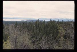
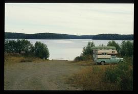
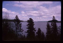
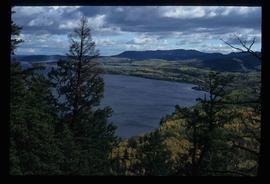
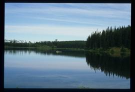
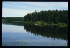
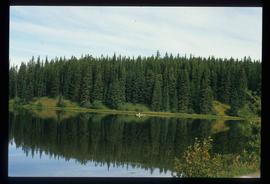
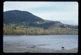
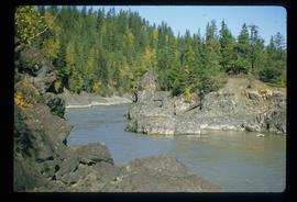
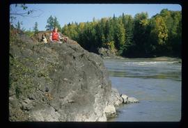
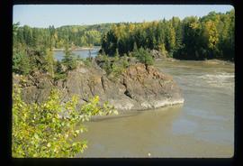
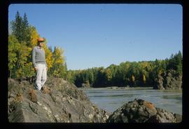
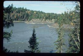
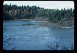
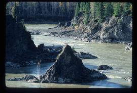
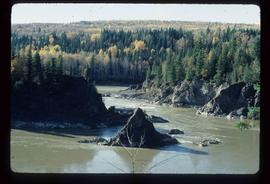
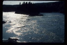
Image depicts the Fort George Par, which was renamed Lheidli T'enneh Memorial Park in 2015. Map coordinates 53°54'30.2"N 122°43'57.4"W
Image depicts an aerial view of Fort George Park.
Image depicts Stuart Lake in Fort St. James, B.C.
Image depicts a partially frozen lake, most likely Stuart Lake in Fort St. James, B.C.
Image depicts a lake, possibly Stuart Lake in Fort St. James, B.C.
Image depicts a view of Fort St. John, B.C.
Image depicts an area of forests and fields somewhere near Fort St. John, B.C.
Image depicts a view of Fort St. John, B.C.
Image depicts numerous unknown individuals searching through a fossil bed, possibly in the Bulkley Valley.
Image depicts a fossil bed, possibly somewhere in the Bulkley Valley.
Image depicts four hikers putting on rain parkas.
Image depicts four unknown individuals studying a plant.
Image depicts Francois Lake.
Image depicts a view of Francois Lake.
Image depicts a section of land on the east end of Francois Lake. The lake is visible in the distance.
Image depicts the Nadina Delta at Francois Lake.
Image depicts a view of the forest surrounding Francois Lake.
File consists of a typed document titled "Fraser Canyon Park: A proposal to the British Columbia Government" prepared by the Fraser Canyon Ad Hoc Committee.
Image depicts the Fraser Lake.
Image depicts a view of the Fraser Lake.
Image depicts the Fraser Lake.
Image depicts Sue Sedgwick by the Fraser Lake.
Image depicts a view of Fraser Lake.
Image depicts a canoe on the Fraser Lake.
Image depicts a view of the Fraser Lake from the Fraser Lake campsite.
Image depicts a view of the Fraser Lake skyline.
Image depicts what is possibly either the Fraser or Chilcotin River.
Image depicts what is possibly either the Fraser or the Thompson River.
Image depicts the Fraser River from Northwood Road in the Prince George area.
Image depicts the Fraser River in Fort George Canyon Provincial Park, B.C.
Image depicts the Fraser River, along with an unknown individual and his dog, in Fort George Canyon Provincial Park, B.C.
Image depicts the Fraser River in Fort George Canyon Provincial Park, B.C.
Image depicts the Fraser River, along with an unknown individual, in Fort George Canyon Provincial Park, B.C.
Image depicts the Fraser River in Fort George Canyon Provincial Park, B.C.
Image depicts the Fraser River in the Grand Canyon, B.C.