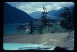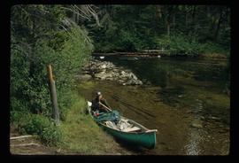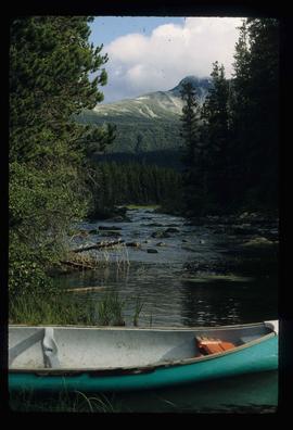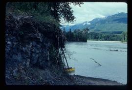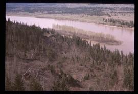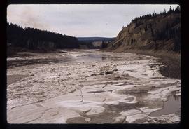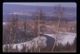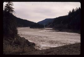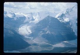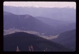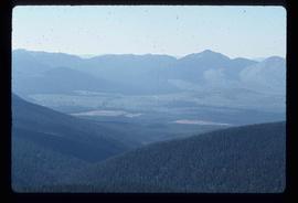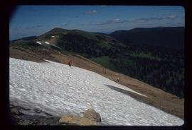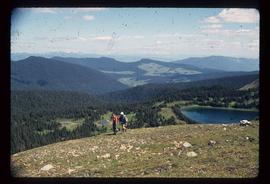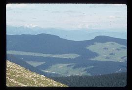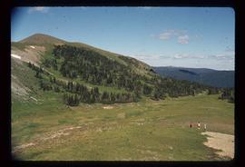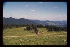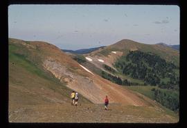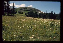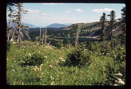
2012.13.1.78.39
·
Item
·
1982
Part of J. Kent Sedgwick fonds
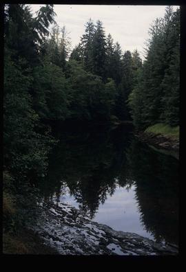
Image depicts a river with dense trees on either side.