Showing 718 results
Archival description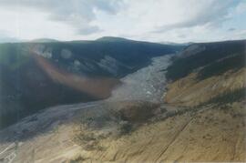
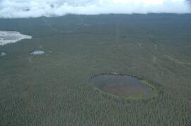
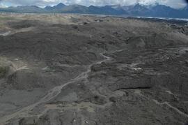
Aerial view of Inlin Brook landslide
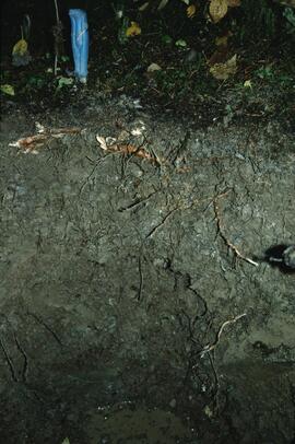
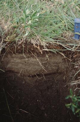
Aleza 1 soil profile view
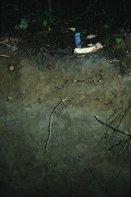
Aleza 2 soil profile view
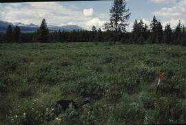
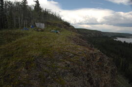
Approaching Camp 2 at the mouth of Black Creek
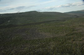
Basalt flow north of Volcano Mountain
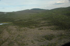
Basalt flow north of Volcano Mountain

Basalt flows, north side of Stikine River along Telegraph Creek Road

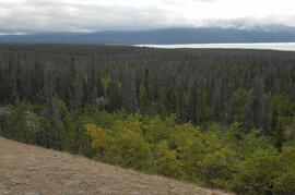
Beetle-killed spruce forest and adjacent grassland, southeast side of Kluane Lake

Beetle-killed spruce forest, southeast side of Kluane Lake
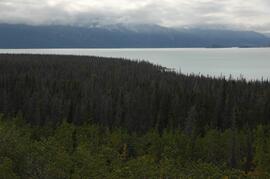
Beetle-killed spruce forest, southeast side of Kluane Lake
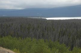
Beetle-killed spruce forest, southeast side of Kluane Lake
Beetle-killed spruce forest, southeast side of Kluane Lake
Bertha 1 profile
Bertha 1 site
Bertha 1 site
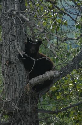
Black bear in tree
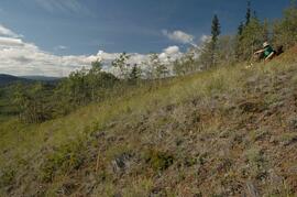
Bobtail site view
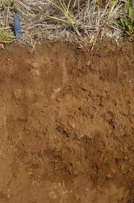
Bobtail soil profile view
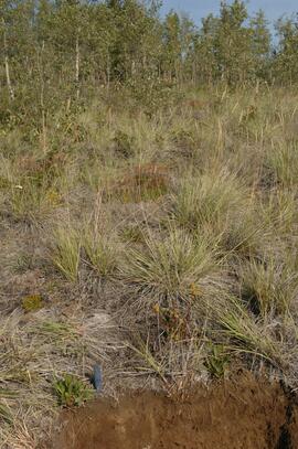
Bowron site view
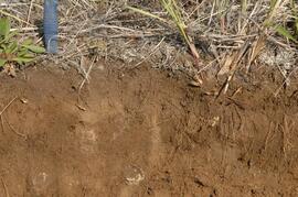
Bowron soil profile view
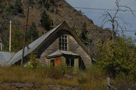
Building in Telegraph Creek

Buildings in Telegraph Creek
Buildings in Telegraph Creek
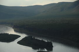
Camp 1, facing east up the Yukon River
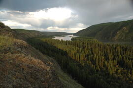
Camp 1, facing east up the Yukon River

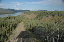
Camp 1, facing southwest
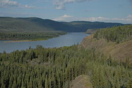
Camp 1, facing west down the Yukon River
Camp 1, facing west down the Yukon River

Camp 2 at the mouth of Black Creek
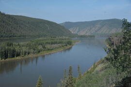
Camp 2, facing west down the Yukon River
Carmacks site Y08-39
Carmacks soil at site Y08-39
Carmacks soil at site Y08-39
Carmacks soil at site Y08-39
Channelled outwash terrace on West side of Generc River, upstream of White River confluence
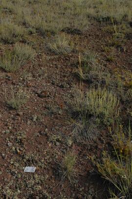
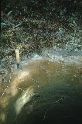
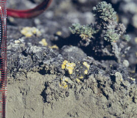
Crust-covered gravelly soil surface with Artemisia
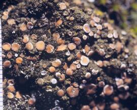
Cryptobiotic soil crust close-up
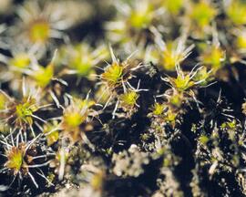
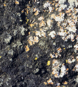
Cryptobiotic soil crust close-up
Cryptobiotic soil crust close-up
Cryptobiotic soil crust close-up
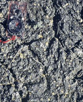
Cryptobiotic soil crust interface

Debris-covered terminus of Klutlan Glacier

Debris-covered terminus of Klutlan Glacier

Debris-covered terminus of Klutlan Glacier

Debris-covered terminus of Klutlan Glacier
Debris-covered terminus of Klutlan Glacier
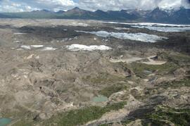
Debris-covered terminus of Klutlan Glacier
Debris-covered terminus of Klutlan Glacier
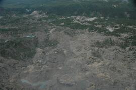
Debris-covered terminus of Klutlan Glacier
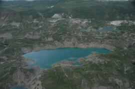
Debris-covered terminus of Klutlan Glacier