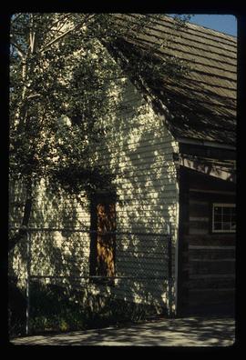
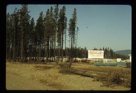
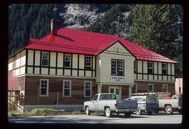
Image depicts numerous old and ruined cabins in Quesnelle Forks.
Image depicts the train station in Quesnel, B.C.
Image depicts a sawmill somewhere in Quesnel, B.C.
Image depicts the original main street of Quesnel, B.C.
Image depicts the Hudson Bay Store in Quesnel, B.C.
Image depicts the Hudson Bay store in Quesnel, B.C. It was built in 1859.
Image depicts the Bohanon House in Quesnel, B.C.
Image depicts numerous unknown individuals at the Bohanon House in Quesnel, B.C.
Image depicts Quadra Ventures Industrial Lodge in Tumbler Ridge, B.C.
Image depicts the Prince George Public Library from 7th Ave.
Image depicts the Prince George Public Library.
Image depicts the Provincial Government Building located in Stewart, B.C.
Image depicts a view of the port in Prince Rupert, B.C. The slide is labelled "superport."
Image depicts a view of what is possibly a shipping yard in Prince Rupert, B.C. The slide is labelled "superport."
Image depicts the rail yards in Prince Rupert.
Image depicts an old building on the main street of Prince Rupert, B.C. Only half of the business name is visible: "Skeena Color [sic]."
Image depicts the main street of Prince Rupert, B.C.
Image depicts numerous houses on the cliff-sides in Prince Rupert, B.C.
Image depicts numerous houses in Prince Rupert, B.C.
Image depicts several houses in Prince Rupert, B.C.
Image depicts numerous houses in Prince Rupert, B.C.
Image depicts numerous buildings and a small dock somewhere in Prince Rupert, B.C. One of the buildings is labelled "Fishermen's Supply."
Image depicts a view of the downtown core of Prince Rupert, B.C.
Image depicts the City Hall of Prince Rupert, B.C.
Image depicts the Bank of Nova Scotia located on "Besner Block" in Prince Rupert, B.C.
Image depicts a view of Prince Rupert, B.C.
Image depicts the Four Seasons Leisure Pool, and the Centennial Fountain in Prince George, B.C. Map coordinates 53°54'48.5"N 122°44'49.2"W
Image depicts the Prince George welcome and population sign, with a population of 71,086. Map coordinates 53°53'52.0"N 122°46'08.7"W
Image depicts the Prince George Sawmill from the Northwood Bridge.
Image depicts Prince George Sawmill taken from across the Nechako River looking southwest. Map coordinates 53°56'00.0"N 122°44'29.7"W
Image depicts an aerial view of a Prince George residential section between Highway 97, Carney Street and 10th Ave looking north. Map coordinates 53°54'54.0"N 122°46'00.4"W
Image depicts the Prince George Public Library (Bob Harkins Branch). Map coordinates 53°54'43.1"N 122°44'56.4"W
Image depicts the Prince George Public Library (Bob Harkins Branch). Map coordinates 53°54'44.6"N 122°45'01.7"W
Image depicts the Prince George Hotel.
Image depicts a Prince George residential area from the viewpoint of the Ginter Property.
Image depicts Prince George from the view of Peden Hill.
Image depicts the Courthouse in Prince George, B.C.
Image depicts Brunswick Street at 3rd Ave in -35 degree weather. Map coordinates 53°55'03.0"N 122°44'51.7"W
Image depicts 3rd Ave at Brunswick Street in -35 degree weather. Map coordinates 53°55'03.0"N 122°44'51.7"W
Image depicts an uncertain street in Prince George, B.C.
Image depicts Prince George, with the picture looking North-Northeast from University Way.
Image depicts Prince George from University Way, with the P.G.I pulp mill in the distance.