2012.13.1.19.03
·
Item
·
1979
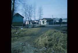
Part of J. Kent Sedgwick fonds
Image depicts what is possibly a train fuelling station at the GTP Roundhouse in Prince George, B.C.