Photograph depicts Dorothy Livesay performing a reading at the College of New Caledonia with Barry McKinnon speaking.
Habit of <i>Malus</i> in fruit
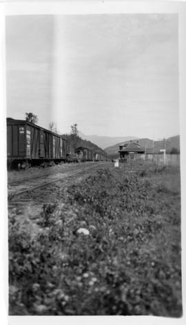
Photograph depicts the Dorreen railway station on the Canadian National Railway main line, located on the west bank of the Skeena River between Cedarvale and Terrace, British Columbia. CN boxcars visible on the siding.
Dorries pulled up on shore
Two women break for lunch beside a large boulder, Nunavut
Item is an original "Do's and Don't's When Marking Stands For Cutting" booklet illustrated by J. Pickford.
Nunavut
Woman with a camera and tripod
Great Britain
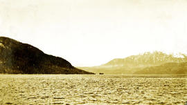
Photograph depicts a view of the ocean, water in the foreground, a peninsula jutting to the ocean and snow capped mountains in the distance. Handwritten annotation below photograph reads, "Double ID Point Naas River".
Attached description: Double trailers deliver log loads to dump at Clark Booming Grounds of Twinriver Timber Limited. Logs are bundled before dumping.
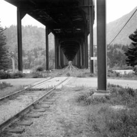
Photograph depicts a double-use bridge across the Fraser River at Hope, BCon the north side of the village. The upper deck carries road traffic and the lower deck the C.P.R. rail line leading to the Kettle Valley Line. View looking north.
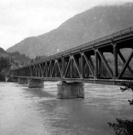
Photograph depicts a double-use bridge across the Fraser River at Hope, BCon the north side of the village. The upper deck carries road traffic and the lower deck the C.P.R. rail line. View looking north.
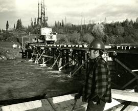
The photograph depicts Doug Rolfs overseeing bridge construction over the Anzac River. A crane can be seen on the uncompleted bridge. Annotation on reverse side of the photograph states, "The Pas Lumber Company Ltd Oct 12/1975, Anzac River - Colbourne Road, Quadra Coast, Doug Rolfs, foreman"
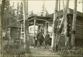
Typed annotation on recto: "Douglas Lodge Scenes Stuart Lake, B.C." Man and woman standing with fishing gear in front of log fishing bungalows in forest. Tree trunks in foreground. It is believed that this couple may be the same two people pictured in item 2004.6.28, (possibly the Factors).
<i>Acer glabrum</i>
Vancouver, British Columbia
Vancouver, B.C.
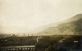
Photograph depicts a view of well kept buildings, orchard and mountains in the background.
Photograph depicts a view of well kept buildings, orchard and mountains in the background.
Photograph depicts a view of well kept buildings, orchard and mountains in the background.
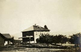
Photograph depicts a large farmhouse situated in an orchard.
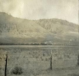
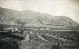
Photograph depicts farms and orchards, with sparsely forested hills in the background.
Photograph depicts a view of well kept buildings, orchard and mountains in the background.
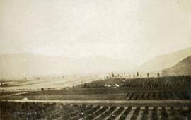
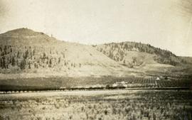
Photograph depicts orchards with mountains in the background.
Photograph depicts a view of well kept buildings, orchard and mountains in the background.
Photograph depicts orchards with mountains in the background.
Elephants walking down the street
Three snowmobiles
Alpine Club of Canada's 1967 Yukon Alpine Centennial Expedition, Kluane National Park, Yukon
Takla Lake, Northern British Columbia
Prince George, B.C.
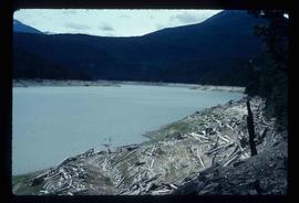
Image depicts Downton Lake, the Lajoie Dam reservoir.
Item is a photograph of a copy print, resulting in a low quality photographic reproduction. Reproduced as a print, slide, and a negative. Location of original photograph is unknown.
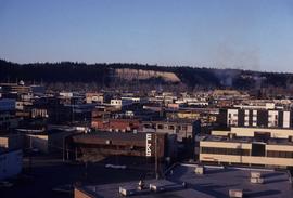
The item is a photograph negative depicting downtown Prince George. The photograph was taken during the winter from inside City Hall. Various buildings can be seen, including the Ramada Inn.
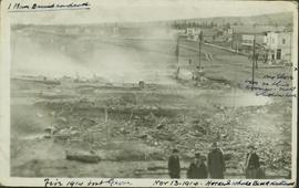
Fire at the Fort George Hotel devastated the entire block. Harry Perry's Tailor shop was right across the street from the fire. Handwritten annotations on recto: "1 man burned to death. Fire 1914, Fort George. Nov. 13-1914. Hotel & whole block destroyed; 'X' my store was on this corner, not shown here"
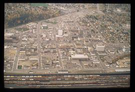
Image depicts an aerial view of downtown Prince George, B.C.
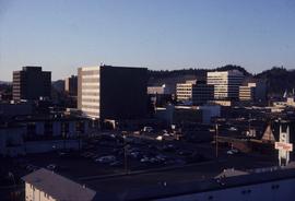
Image depicts downtown Prince George taken from City Hall looking north. Map coordinates 53°54'46.2"N 122°44'43.9"W
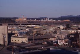
Image depicts a view of Prince George from City Hall looking northeast with the pulp mills in the background. Map coordinates 53°54'46.3"N 122°44'41.9"W
Image depicts downtown Prince George taken from City Hall looking north. Map coordinates 53°54'46.2"N 122°44'43.9"W
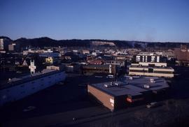
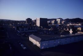
Image depicts downtown Prince George taken from City Hall looking northwest. Map coordinates 53°54'46.2"N 122°44'43.9"W
Image depicts downtown Prince George taken from City Hall looking northwest. Map coordinates 53°54'46.2"N 122°44'43.9"W
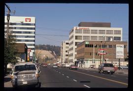
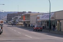
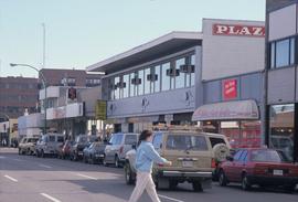
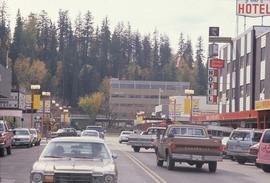
Image depicts downtown Prince George, B.C.
Image depicts 4th Ave at Brunswick St. and the following businesses: Hart Drugs, The Yarn Barn, and Saveco. Map coordinates 53°54'59.9"N 122°44'52.9"W
Image depicts 4th Ave at Quebec St, showing the following businesses: The Yarn Barn, Golden Chalice Jewellers, Dandy Lines, Ultrasport, and Saveco. Map coordinates 53°54'58.6"N 122°44'47.5"W
Image depicts George St in downtown Prince George with City Hall in the background. Also visible are the Prince George Hotel and a movie theatre. Map coordinates 53°54'55.0"N 122°44'36.1"W
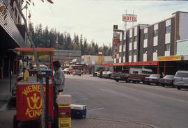
Image depicts George St in downtown Prince George with City Hall in the background. Also visible are the Prince George Hotel, Ming's Inn Chinese Restaurant, Fraser Stationers Ltd., Weiner King food cart, and a movie theatre. Map coordinates 53°54'55.0"N 122°44'36.1"W
Photograph of several buildings down the street in Prince Rupert, including the church. Lumber pallets are littered around the buildings. Annotation on recto reads: "Prince Rupert, BC. 20.10.07."
