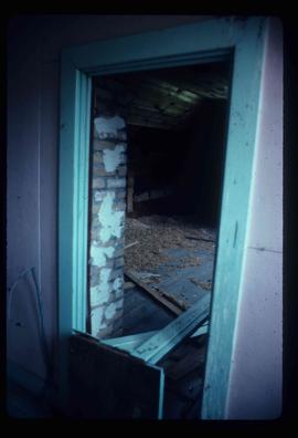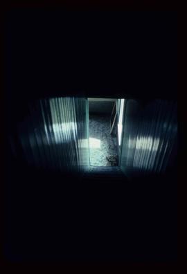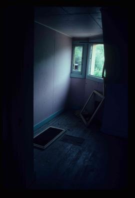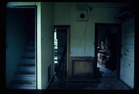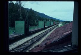
2012.13.1.11.05
·
Item
·
July 1982
Part of J. Kent Sedgwick fonds
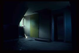
Image depicts the interior of the old Dunster Station in Dunster, B.C.