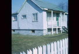
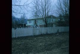
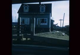
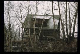
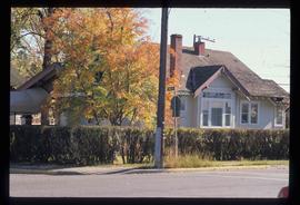
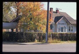
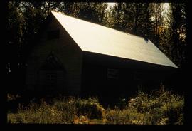
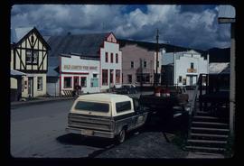
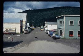
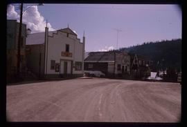
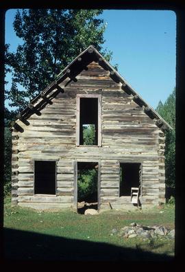
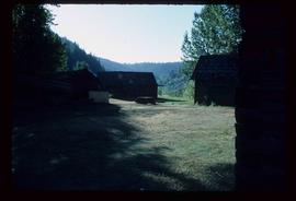
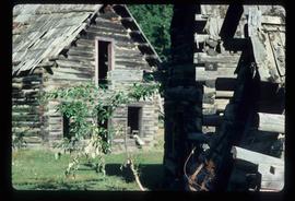
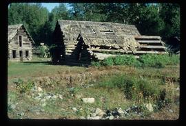
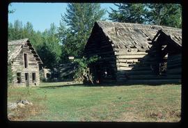
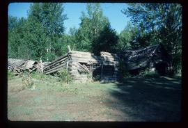
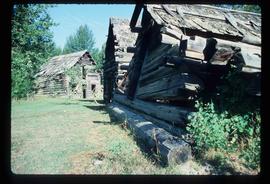
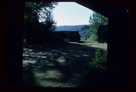
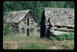
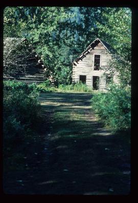
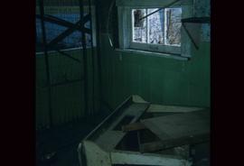
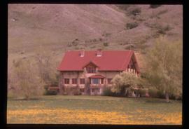
Image depicts a house which is possibly in Prince Rupert, B.C.
Image depicts a house in Island Cache.
Image depicts a house in disrepair, and possibly abandoned, in Island Cache.
Image depicts a house somewhere in Prince George, B.C.
Image depicts a house in Island Cache. There are several cars parked outside it.
Image depicts a house on the corner of 7th Ave and Vancouver Street in Prince George, B.C.
Image depicts a house on the corner of 12th Ave and Vancouver Street in Prince George, B.C.
Image depicts three people standing at the front door of a house at an uncertain location.
Image depicts the interior of a kitchen at an uncertain location.
Image depicts what appears to be a motel somewhere near Bralorne, B.C.
Image depicts what appears to be a type of log bridge crossing a river somewhere on Haida Gwaii.
Image depicts what appears to be a shed at an uncertain location.
Image depicts a street in Island Cache.
Image depicts a street in Wells, B.C.
Image depicts a street in Wells, B.C. The Sunset Theatre and Gold Country Food Market are both present in the image.
Image depicts a street in Wells, B.C. The Wells Hotel is present in the image.
Image depicts a street in Wells, B.C.
Image depicts a street in Wells, B.C. The Sunset Theatre is located on the left of the image, and the Jack O' Clubs Hotel is the building with the green roof on the right. The hotel burned down on February 14th in 1994.
Image depicts an abandoned cabin in Quesnelle Forks, B.C.
Image depicts an old, abandoned cabin with ivy growing up the side. The location is uncertain.
Image depicts an old and abandoned cabin with ivy growing up the side. The location is uncertain.
Image depicts several abandoned and collapsing cabins in Quesnelle Forks, B.C.
Image depicts part of a path leading to some abandoned cabins in Quesnelle Forks, B.C.
Image depicts an old and abandoned, collapsing church at an uncertain location.
Image depicts the interior of an old, abandoned church at an uncertain location; possibly somewhere between Lillooet and Kamloops.
Image depicts an old and abandoned duplex somewhere in Wells, B.C.
Image depicts the interior of a house that appears to be abandoned and in disrepair in Island Cache.
Image depicts an old convenience store, with a sign on it labelled "Al Crosina." It is located at the 153 Mile House.
Image depicts the interior of an old convenience store; there are several unknown individuals present. It is located at the 153 Mile House.
Image depicts the interior of an old convenience store; numerous unknown individuals are present. It is located at the 153 Mile House.
Image depicts the ferry to Alaska in the port of Prince Rupert, B.C.
Image depicts the Alcan smelter in Kitimat, B.C.
Image depicts an old beer advertisement for Alexandria Lager, somewhere in Wells, B.C.
Image depicts the Alkali Lake Ranch in Alkali Lake, B.C.
Image depicts the Alkali Lake Ranch in Akali Lake, B.C.
Image depicts the Alkali Lake Ranch in Alkali Lake, B.C.