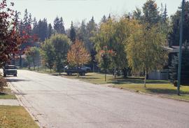
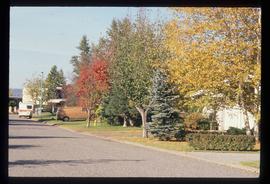
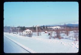
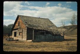
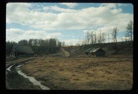
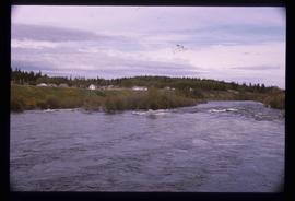
Image depicts a subdivision of Prince George, B.C.
Image depicts the Nechako Subdivision in Prince George, B.C.
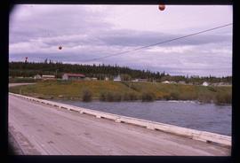
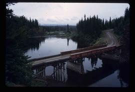
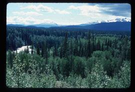
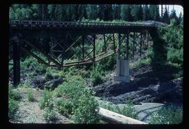
This item is a 35 mm photograph negative of the Nechako River, Prince George. Water level is very low.
This item is a 35 mm photograph negative of the Nechako River, Prince George. Water level is very low.
This item is a 35 mm photograph negative of the Nechako River, Prince George. Water level is very low.
This item is a 35 mm photograph negative of the Nechako River, Prince George. Water level is very low.
This item is a 35 mm photograph negative of the Nechako River, Prince George. Water level is very low.
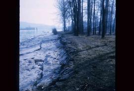
Image depicts the bank of the Nechako River at Island Cache.
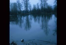
Image depicts a body of water in Island Cache. It is possibly a small section of the Nechako River.
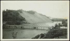
Photograph depicts bridge over Nechako River. Sloped cutbanks on opposite shore in background. Buildings and railroad tracks can be seen on town shore in right foreground.
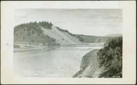
Photograph depicts bridge over Nechako River. Sloped cutbanks on opposite shore in background. Railroad tracks can be seen on town shore in right foreground. Handwritten annotation on verso of photograph: "NECHAKO RIVER NEAR PRINCE GEORGE B.C. N.H.D."
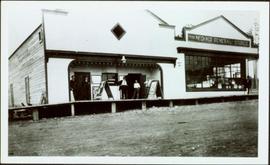
Photograph depicts two connected buildings; the building on the left is possibly the theatre, other building with sign that reads: "The Nechaco (sic?) General Stores." Boardwalk with people and unpaved street in foreground.
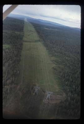
Image depicts an aerial view of a stretch of power lines somewhere near Williams Lake, B.C.
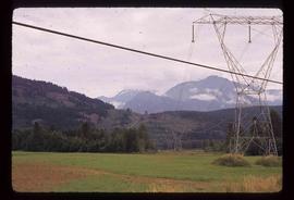
Image depicts some power lines and mountains near Pemberton, B.C.
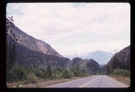
Image depicts Highway 99 north of Squamish and near Pemberton, B.C.
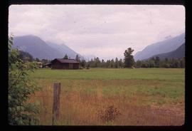
Image depicts a farm near Pemberton, B.C.
Image depicts a barn full of hay and several cows, possibly near Newlands, B.C.
Image depicts a house located somewhere near McBride, B.C.
Image depicts an old, collapsing house at the Nautley site in Fort Fraser, B.C.
Image depicts a couple of old, collapsing buildings at the Nautley site in Fort Fraser, B.C.
Image depicts Nautley and the Nautley River near Fraser Lake, B.C.
Image depicts Nautley and the Nautley River near Fraser Lake, B.C.
Image depicts a bridge over the Nation River somewhere south of Manson Creek, B.C.
Image depicts a south-west view of the Nass Valley.
Image depicts a bridge over the Nass River.
File contains slides depicting Nanaimo and the Pacific Rim.
Photograph depicts Myra depot on the CPR Kettle Valley line. The depot is at mile 83.8 and is only 8 miles from Kelowna but 2800 ft. above it. Trevor Davies, aged 8 3/4, is in the foreground.
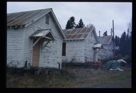
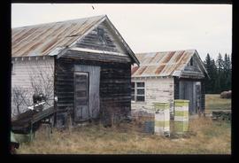
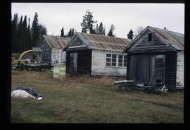
Image depicts the old Myatovic schools.
Image depicts the old Myatovic schools.
Image depicts the old Myatovic schools.
Image depicts the old Myatovic schools.
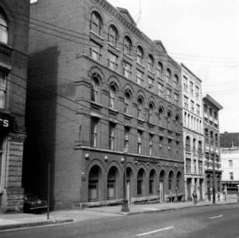
Photograph depicts the Mussenden Building used by the Hudson's Bay Company. It is located on Water St. in Vancouver, B.C. View is from the north side looking east.
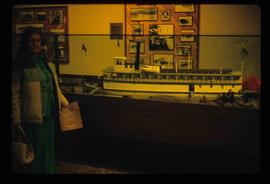
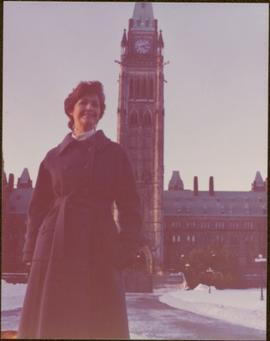
Image depicts a woman standing next to a model of a ship in glass case in what appears to be a museum. The location is uncertain.
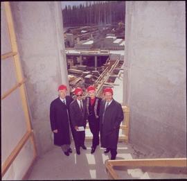
Left to right: Interior University Society President Murray Sadler, Prince George Mayor John Backhouse, Chancellor Iona Campagnolo, and President Geoffrey R. Weller.
Handwritten annotation on verso reads: “Construction of UNBC”.
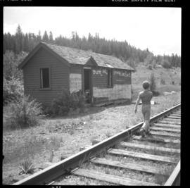
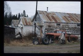
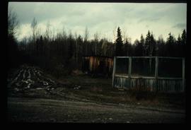
Image depicts a muddy back road and an old shack at an uncertain location.
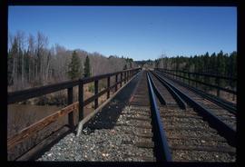
Image depicts a rail road bridge over the Mud River.
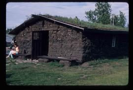
Image depicts what appears to be a mud house with grass and weeds growing on the roof at an uncertain location. An unknown woman is sitting on a bench outside of it.
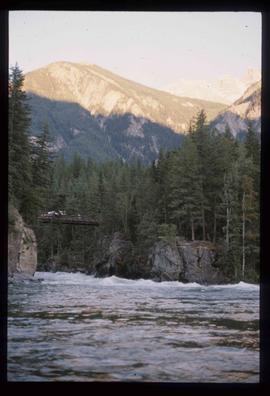
Image depicts a river somewhere in Mt. Robson Provincial Park, with a bridge running over it. The slide itself is labelled "Robson station."
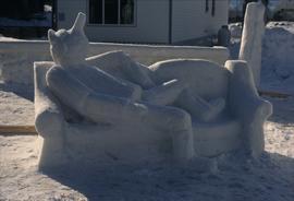
Image depicts a snow sculpture of the Mr. P.G. lounging on a couch, possibly during the Winter City Conference, in Prince George, B.C. Taken at the Prince George Civic Center. Map coordinates 53°54'45.6"N 122°44'59.6"W
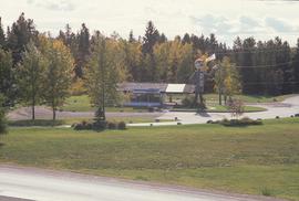
Image depicts Mr. P.G. and the Tourism Information site at the intersection of Highway 16 and 97. Map coordinates 53°53'46.5"N 122°46'00.7"W
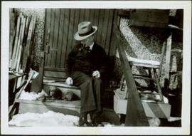
A man named Mr. Blamey sits beside dog while smoking a pipe. Unknown building in background. Ladder and stool on right, building material on left. Handwritten annotation on recto of photograph: "Mr. Blamey on Buddy when he was tiny" (see also item 2009.5.2.262 for reference to Blamey family).
Plaques on unidentified structure in foreground.
Handwritten caption above this photo reads: "Moving the sides of Bin into place. Weight nine tons" (see also item 2000.1.1.2.365). The bin side is not in view, but cable lines of crane can be seen lowering bin into building. Steel framework and sheeting in background, snow in foreground.
Photograph depicts the large 9 ton side of a bin for the crusher building. It is suspended by a crane which stands behind it, mostly out of picture. Pile of steel beams for framework in foreground, mountainside in background. See also item 2000.1.1.2.365.
Handwritten caption beside this photo reads: "Moving the sides of Bin into place. Weight nine tons". Two construction workers on right of a large steel bin side. Steel framework and sheeting in background.
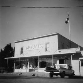
Photo depict Movat's store where you could buy food, dry goods, and hardware among other things. Located beside the original pier on Salt Spring Island, now little used for general and commercial traffic.
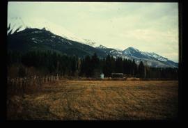
Image depicts a field and a shack in the foreground and mountains in the background. The location is uncertain, likely Longworth, B.C.
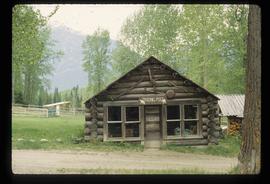
Image depicts the old trading post at Mount Robson Ranch.
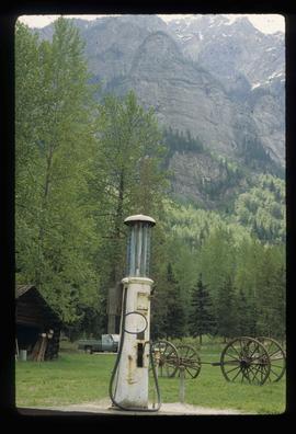
Image depicts an old gas pump at the Mount Robson Ranch.
