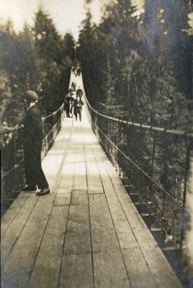
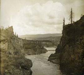
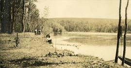
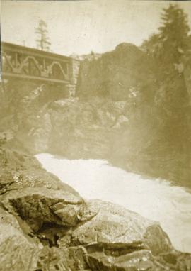
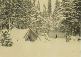
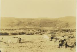
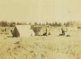
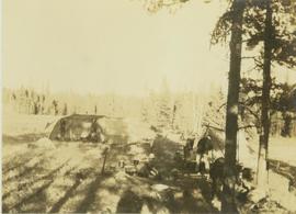
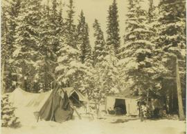
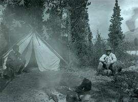
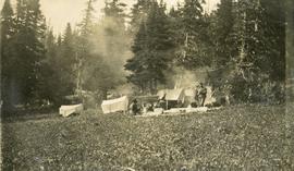
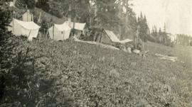
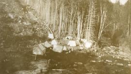
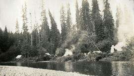
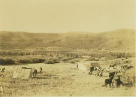
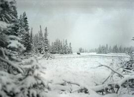
Photograph depicts a small caribou herd stopped in a snow covered clearing beside a forest a Drybrough Mountain.
Footage of a herd of caribou running on mountain plateau, probably the Rainbow Mountains. Also various clips of hunting camp and the men loading their pack horses.
Photograph depicts a road bordered by people, building and fences.
Photograph depicts a road bordered by people, building and fences. A stage coach is situated on the side of the road.
File consists of notes, clippings, and reproductions relating to the Cariboo region of British Columbia. Includes: "Walking Tour of Historic Clinton" pamphlet prepared by Clinton Museum Society and Clinton & District Chamber of Commerce (1980); "Central Cariboo British Columbia, Canada" pamphlet approved by Tourism British Columbia (2010); and "Cariboo field trip" duotang with typescript notes (1978). Also includes photographs depicting Quesnel Forks, British Columbia (2010).
Photo featuring Captain Vancouver’s tombstone in the churchyard of St. Peter’s Church in Petersham, England.
Handwritten annotation in pen on verso reads: “Illustration from this to be inserted. No. 4.3. on page 183 of manuscript. Vancouver’s tomb, Petersham, England”.
Photograph depicts a view from below, looking up at a suspension bridge. Three or more people are walking on the bridge. There is a forest and building in the background.
Photograph depicts a walkway view of a suspension bridge. Several people are walking on the bridge.
Photograph depicts steep canyon wall with a river below, low mountains in the distance. Survey of 55th parallel.
Photograph depicts seven or more persons, some standing on river bank with ropes, some standing in a loaded canoe with poles, forest in the background, grass, river shore and anchored boat in foreground.
Photograph depicts four men paddling a long canoe. The canoe is loaded with supplies and a dog, river and forest in the background.
File consists of notes and reproductions relating to Brett & Hall landscape architecture and urban planning in Canada. File predominantly consists of photocopies of articles relating to urban planning, including "The Influence of Thomas Adams and the British New Towns Movement in the Planning of Canadian Resource Communities" by Oiva Saarinen; "Thomas Adams and the Commission of Conservation" by Alan H. Armstrong; "The Laying Out of Towns" by W.H. Dorsey; "The Relation of the City Engineer to Public Parks" by John C. Olmsted; "The Planning of Company Communities in the Lake Superior Mining Region" by Arnold R. Alanen; and "Planning the Canadian Environment" by L.O. Gertler.
File consists of notes and reproductions relating to the Canadian Pacific Railway, colonization and immigration, and the 4th Duke of Sutherland.
Photograph depicts a view from rocky river banks looking toward a Canadian Pacific Railway bridge.
Photograph depicts three tents covered with snow are visible in a forest clearing.
Photograph depicts a camping party consisting of nine individuals having their morning coffee beside their tent located in the Pine area at Lone Prairie. Identified individuals: Harry Snyder wearing a hat, in on the left; Elmer Keith wearing a hat, is on the right.
Photograph depicts a camp site with two men preparing several tents situated on a grassy field.
Photograph depicts pack horses at rest at a camp site situated on a grassy field. In the background a forested environment is visible.
Photograph depicts pack horses resting at a camp site situated on a grassy field. In the background a forested environment is visible.
Photograph depicts two men tending to a camp site with several tents and horses on a grassy field.
Photograph depicts four men preparing a camp site with tents and a fire for cooking. In the background a dense forest is visible.
Photograph depicts a camp with three tents within a snowy forested landscape.
Photograph depicts two men seated around a campfire with a tent near the shore of Fredricksen Lake.
Photograph depicts a cluster of tents on the edge of a meadow. Four or more people stand or sit amongst the tents. Smoke rises from a wood fire and drifts amongst the stub alpine trees in the background.
Photograph depicts a cluster of canvas tents on the edge of an alpine meadow.
Photograph depicts several canvas tents set on rocky, newly cleared ground. Tall trees in the background, a creek on the right.
Photograph depicts a view looking across a large creek or small river. Several canvas tents are set up along the river bank. Wood smoke drifts toward the giant trees behind the camp.
Photograph depicts a view looking across a creek to a tarp erected on the opposite shore, trees in the background. Survey of 55th parallel.
Photograph depicts a view of a creek, trees and canvas tents on the opposite shore. Smoke is rising from a chimney installed in one of the tents. Survey of 55th parallel.
Photograph depicts a view from the river looking at the river bank. There is a canvas tent with forest in the background.
Photograph depicts several men posing for a photograph. Cooking utensils, fire pit and hitching posts in the foreground. Trees in the background.
Photograph depicts canvas tents set near the banks of the Fraser River, sparse forest in the foreground, river in the middle ground and low forested hills in the background.
Photograph depicts several canvas tents set in lush vegetation near dusk.
Photograph depicts two men standing beside a canvas tent. There are two tents to the left in the midground and sparsely forested hills and low mountains in the background.
Photograph depicts three tents set between a road and a fence. There is a power pole on the right, sparsely forested hills and rocky mountains in the background.
Photograph depicts a cluster of canvas tents on the shores of an inland lake. Wood smoke from the camp disperses amongst the trees in the background. Lily pads dot the lake in the foreground.
Photograph depicts four men seated around a small camp in front of Copper Mountain. The location of the photograph is noted to be at Duck Creek at Copper Mountain; however, those names may no longer be in current use. Location is assumed to be approximately 55.979291, -125.208415 near what is currently named Wasi Peak.
Photograph depicts a view from the water looking at a camp with several canvas tents. Lily pads in the foreground, forest in the background.
Photograph depicts a view from the water looking toward a cluster of canvas tents set on the shores of Christina Lake.
Photograph depicts roughly cleared land in the foreground, canvas tents and a wagon in the midground, lake and hills in the background.
Photograph depicts looking down on several canvas tents set near a creek. A sparsely forested hillside in the background.
Photograph depicts canvas tents placed among the trees. The forest floor is littered with branches, wood smoke or fog disperses among the trees.
Image depicts a camp of people with Mt. Robson and the Berg Glacier in the background.
Image depicts a camp and what is likely Mt. Robson in the background.
Image depicts a campsite somewhere near Berg Lake.
Image depicts a group of individuals at camp somewhere in Mt. Robson Provincial Park.
Photograph depicts a man standing beside a discovery vein along a rocky cliff. The location is believed to be the east side of Duncan Mountain, east of the north end of Thutade Lake, some 140 miles northeast of Stewart. The Cairn group of 12 mining claims was located by Cominco Ltd. in 1931.
Photograph depicts two men standing near two horses in front of a tall log cache in a forested environment.