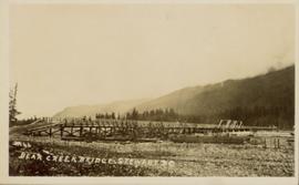
Photograph of a long wooden bridge spanning a river. Forest and hills are visible in the background. Printed annotation on recto reads: "#46 Bear Creek Bridge, Stewart, BC."
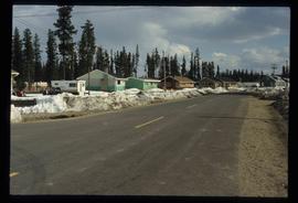
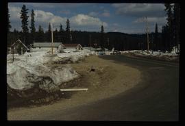
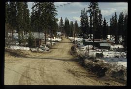
Image depicts some houses in Bear Lake, B.C.
Image depicts some trailers in Bear Lake, B.C.
Image depicts some houses in Bear Lake, B.C.
Image depicts some houses most likely in Bear Lake, B.C.
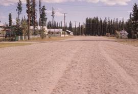
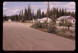
Image depicts some buildings along a dirt road, possibly near Bear Lake, B.C.
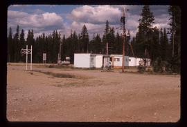
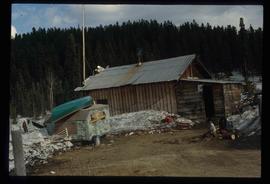
Image depicts a shack, possibly near Bear Lake, B.C.
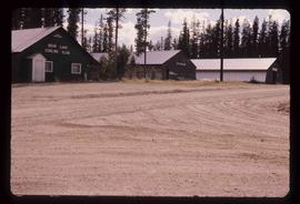
Image depicts the curling club and skating rink buildings in Bear Lake, B.C.
Image depicts some houses in Bear Lake, B.C.
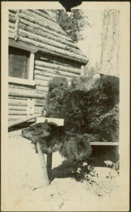
Photograph depicts the head and skin of a bear on display in front of log building. Trees in background.
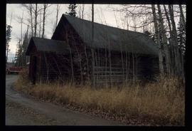
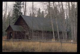
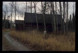
Image depicts a log cabin in Beaverly.
Image depicts a log cabin in Beaverly.
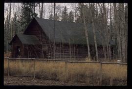
Image depicts a log cabin in Beaverly.
Image depicts a log cabin in Beaverly.
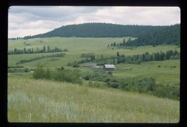
Image depicts what appears to be a small ranch. The slide is labelled "Becher's Prairie," possibly meaning Becher's Prairie Provincial Park in B.C.
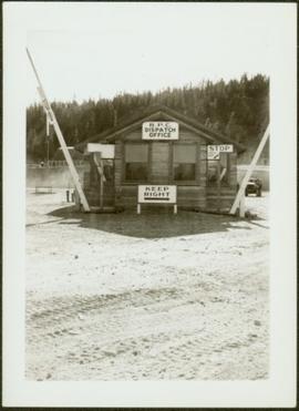
Photograph depicts wood building and signage, with traffic regulating beams raised on either side.
Handwritten annotation on verso reads: “Dawson Creek B.C. Bechtel Price Callahan Dispatch Office [1943]”
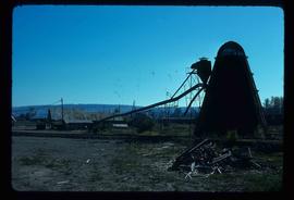
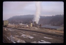
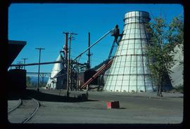
Image depicts a bee-hive burner beside a rail-road track at an unidentified mill somewhere in Prince George, B.C.
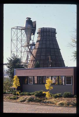
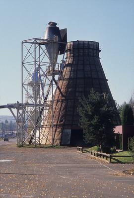
Image depicts a Beehive Burner along the Nechako on River Road. Map coordinates 53°55'34.1"N 122°44'58.0"W
Image depicts a beehive burner, as well as rail road tracks, at an unknown location.
Image depicts a Beehive Burner along the Nechako on River Road. Map coordinates 53°55'34.1"N 122°44'58.0"W.
Image depicts a Beehive Burner along the Nechako on River Road. Map coordinates 53°55'34.1"N 122°44'58.0"W
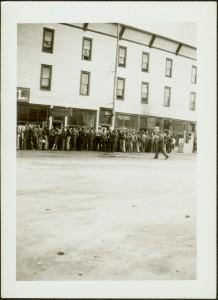
Photograph depicts large group of men gathered outside large building with the sign "WHITEHORSE GRILL".
Handwritten photo album caption below this photo reads: "Dawson Creek BC / 1943 Beer Ration Day".
The item is a photograph depicting the church bell at the original Knox United Church built in 1922, located at the corner of Brunswick Street and 5th Avenue, Prince George.
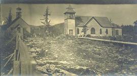
Photograph depicts a church and unidentified building with a large fenced yard in the foreground. Annotation on verso of photograph states: "Bella Bella Church"
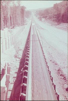
Item is a photograph of the beltway used to carry aggregate to the Dam site.
File consists of notes and reproductions relating to Ben Ginter's house. Ben Ginter was a Polish immigrant who grew up in rural Manitoba. He had owned a construction company and later bought the failing Cariboo Brewing. He opened Tartan Brewing in 1962. Ginter began innovating the brewing industry in British Columbia before dying of a heart attack in 1981. He was a controversial figure in Prince George. His house, which was where the now Ginter Park is, was the site of many legendary parties. File primarily consists of newspaper clippings and reproductions discussing the City of Prince George's decision to demolish the building and the controversy surrounding this decision. File also includes photographs depicting the interior and exterior of Ben Ginter's house prior to it being torn down (1997).
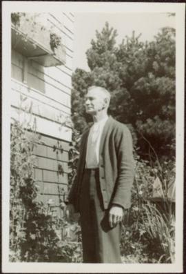
Glassey stands among plants to right of house, trees in background.
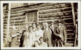
Group of eleven men and women stands and sits in front of log building. Woman on far left holds infant, Glassey stands on far right. Similar group also featured in items 2009.5.2.274 - 2009.5.2.294.
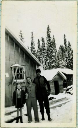
Handwritten caption beside this photo reads: "Bert and Kitchen Staff". Photograph depicts Bert (Youngstrom?) standing close to a woman and young girl on snow in front of unidentified buildings. Forest trees can be seen in background. It is believed that this photo was taken at the camp in Summit Lake, B.C. (see item 2005.3.57).
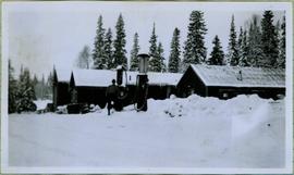
Photograph depicts Bert Youngstrom leaning on one of two gas pumps in front of three long buildings. Trees can be seen in background, as well as snow all around. Steel drums an other miscellaneous material surround the buildings. Handwritten captions above and beside this photo read: "Bert Youngstrom" "Shop & Warehouse".
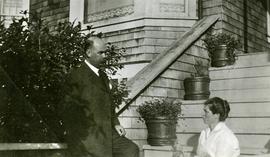
Rev. William Edwin Collison stands to left of wife Bertha who sits on front steps of large shingled home, flower pots in background (oldest son of of Archdeacon W.H. Collison).
Handwritten annotation on verso reads: "Dad & Mother Prince Rupert".
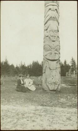
The pair sits on ground beside large totem pole, Bertha on left (wife of W.E. Collison). Log fence can be seen in front of forest in right background.
Handwritten annotation on verso reads: “Mother & Josie Edenshaw at Massett".
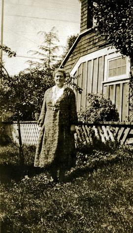
Bertha Collison stands on lawn in front of house (wife of Rev. W.E. Collison).
Handwritten annotation on verso reads: "Mother / Prince Rupert".
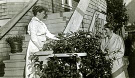
Bertha Collison stands on front steps, to left of second woman standing below.
Handwritten annotation on verso reads: "Mother & Aunt Rose Davies at our house in Prince Rupert".
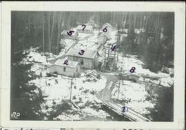
Photograph depicts a snow-covered forest clearing with six structures and a truck. Buildings have been numbered 1-8 with pen. Original handwritten annotations on verso of photograph are signed by Tom Marsh. Photograph is taped to paper. Typed annotation on recto of paper reads: “1. Bridge over creek. 2. Blacksmith shop. 3. Powerhouse. 4. Headframe over 200’ shaft. 5. Office 6. Water tanks from powerhouse. 7. Bunkhouse. 8. Truck. 9. Cookhouse behind #6 cannot be seen. We were always able to find the cookhouse even though hidden in this picture. Taken about 1935 by Russell Ross, supt. Quesnel Quarts Mine. Tom Marsh, Box 156, Squamish B. C.”
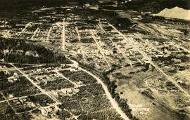
Aerial view of Prince George and surrounding forested area. Printed annotation on recto reads: "Prince George, B.C."
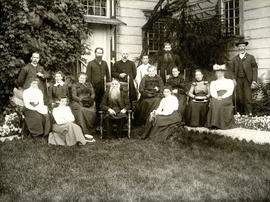
Group of men, women, and children pose in front of large building.
Handwritten annotation on verso reads: "Metlakatla BC / with Bishop Ridley - 4th from left - back row / Mrs Ridley - 4th from left - front row / [?] - [super?] of Ridley Home (beside the Bishop) / Father Hogan - behind the Bishop".
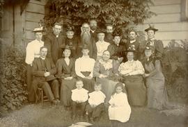
Group of men, women, and children pose in front of large building. Rev. William Edwin Collison stands on far left (son of Archdeacon W.H. Collison).
Handwritten annotation on verso reads: "Early Church Workers at Metlakatla BC / Bishop & Mrs Ridley in centre / (Approx 1898 - 1899)".
Image depicts a view of Blackburn Schools, possibly taken from Tabor Mountain.
The item is a photograph of Black's clothing store on 3rd Avenue in Prince George.
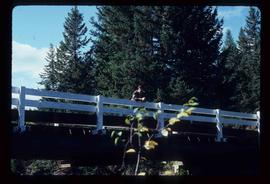
Image depicts a bridge over Blackwater River, with an unknown individual standing on it.
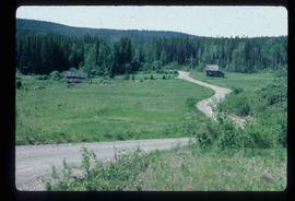
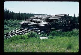
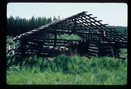
Image depicts an abandoned cabin and shed on Blackwater Road.
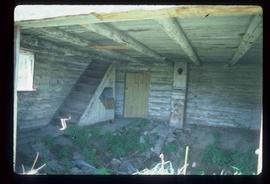
Image depicts the interior of an abandoned, deteriorating cabin on Blackwater Road.
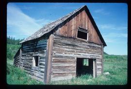
Image depicts an abandoned, deteriorating cabin on Blackwater Road.
Image depicts a shed on Blackwater Road.
Image depicts a shed on Blackwater Road.
Photograph depicts two blasthole drills on bench in mine, old garage visible in centre background. Snow-covered mountain range in background.
Blue and white building in downtown Prince George.
This item is a photograph of a blue and white building in downtown Prince George. The Coast Hotel can be seen in the background.
Photograph depicts the Blue river store in the North Thompson region.
