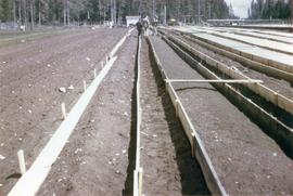
2007.1.60.03.6
·
Stuk
·
Mar. 1993
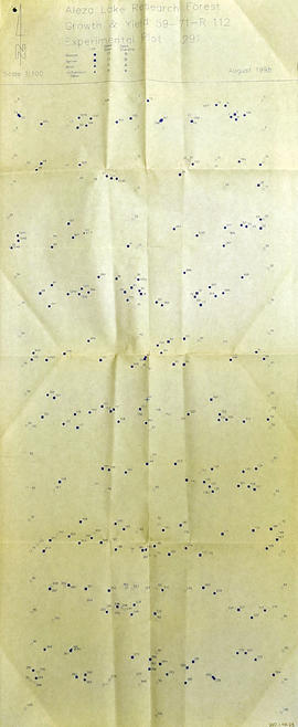
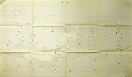
Part of Aleza Lake Research Forest fonds
Item is a photocopied Aleza Lake Forest map with forest cover labels annotated to show 1994 RFP study area.