Mostrar 441 resultados
Archival description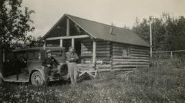
Jack Lee and Philip Monckton at Burns Lake cabin

Jack Lee at Bobtail campsite after returning from Bobtail Mountain

Jack Lee rafting on Bobtail Lake

Jack Lee, Gordon Wyness, and Lavender Monckton in front of wooden moose in Prince George

Jack Lee, Gordon Wyness, and Lavender Monckton sitting on car in front of Prince George cabin
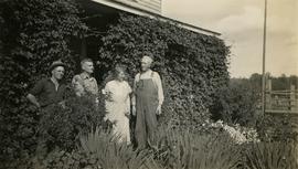
Jack Lee, Gordon Wyness, Jessie McInnes, and Archie McInnes at Pioneer Ranch
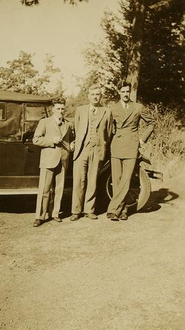
Jack Lee, Philip Monckton, and Gordon Wyness by car at Monckton's residence
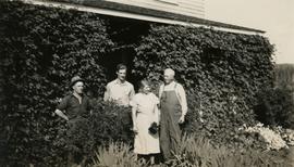
Jack Lee, Philip Monckton, Jessie McInnes, and Archie McInnes at Pioneer Ranch
"Jasper National Park Management Plan Review Comment Form"
"Jasper National Park Management Plan Review Comment Form"
John McCormick Cariboo Letter December 11, 1869
John McCormick Cariboo Letter January 31, 1869
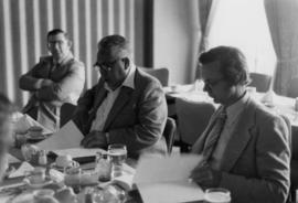
Kitamaat Band Council members and man at land claim presentation
"Knapweed: Its Cause and Effect in British Columbia"
"Knapweed: Its Cause and Effect in British Columbia"

Lake Chelan
"Land Capability for Forestry: A Report to the British Columbia Forest Service by the Canada Land Inventory Staff - East Kootenay (Region 13)"
"Land Capability for Forestry: A Report to the British Columbia Forest Service by the Canada Land Inventory Staff - East Kootenay (Region 13)"
"Land Classification and Environmental Planning"
"Land Classification and Environmental Planning"
"Land Productivity in British Columbia"
"Land Productivity in British Columbia"
"Land Use Planning System for British Columbia"
"Land Use Planning System for British Columbia"
"Lands of the East Kootenay: Their characteristics and capability for agriculture and forestry - Report to the B.C. Soil Capability for Agriculture and Forestry Committee"
"Lands of the East Kootenay: Their characteristics and capability for agriculture and forestry - Report to the B.C. Soil Capability for Agriculture and Forestry Committee"
"Landscaped Buffer Investigation"
"Landscaped Buffer Investigation"
"Landscaped Buffer Specifications"
"Landscaped Buffer Specifications"
"Lil'wat Land Use Plan: Phase 1"
"Lil'wat Land Use Plan: Phase 1"

Lone Butte, BC

Lone man surveying the landscape from a snowy peak

Looking SE from Mt. Begbie on the Cariboo Highway

Looking SW from Mt. Begbie on the Cariboo Highway

Major Residential Development Proposals from June 1975 to August 1977
"Making a Difference: The Canada Land Inventory"
"Making a Difference: The Canada Land Inventory"
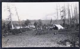
Man in campsite with tents and outhouse
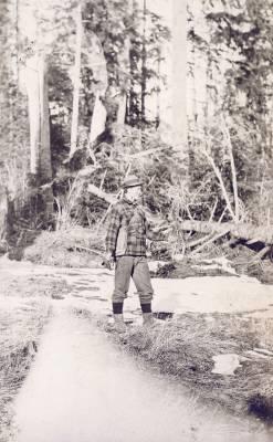
Man in forest clearing with hand outstretched
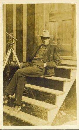
Man in hat sitting on steps
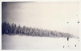
Man standing in a vast snow-covered clearing
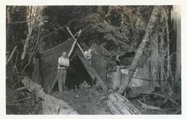
Man standing in front of a tent
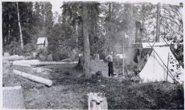
Man standing in front of a tent near an outdoor cooking area
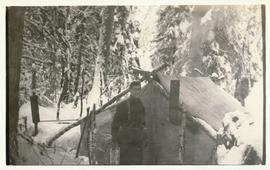
Man standing in front of a tent with a stovepipe
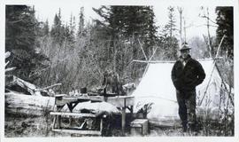
Man standing next to a picnic table in front of a tent
"Management and Improvement of Meadows on Organic Soils of Interior British Columbia"
"Management and Improvement of Meadows on Organic Soils of Interior British Columbia"
"Management Strategy for the Driftwood-Reiseter Planning Area"
"Management Strategy for the Driftwood-Reiseter Planning Area"
"Manitoba Land Use Conference Proceedings"
"Manitoba Land Use Conference Proceedings"

Map of the Central Section of British Columbia shewing the country served by the Grand Trunk Pacific Railway
"Mass Wasting Impacts to Forest Land: Forest Management Implication, Queen Charlotte Islands - Draft"
"Mass Wasting Impacts to Forest Land: Forest Management Implication, Queen Charlotte Islands - Draft"
"Methodology - Land Capability for Agriculture - B.C. Land Inventory (CLI)"
"Methodology - Land Capability for Agriculture - B.C. Land Inventory (CLI)"
"Meyers Flat & Swamp Uranium Content"
"Meyers Flat & Swamp Uranium Content"
"Ministry of Transportation and Highways, Province of British Columbia, Cattle Drives on Highways - Draft Policy"
"Ministry of Transportation and Highways, Province of British Columbia, Cattle Drives on Highways - Draft Policy"
"Moran Dam Environmental Analysis"
"Moran Dam Environmental Analysis"

Moving mountains at Prince Rupert BC

Moving mountains in Prince Rupert, BC
Mt. Begbie, Highest Point on Cariboo Highway
"Munching the Myths: a Factual Account of the Beef Cattle Industry in British Columbia"
"Munching the Myths: a Factual Account of the Beef Cattle Industry in British Columbia"
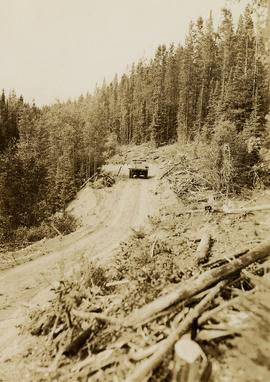
New road during road making north of Stuart Lake