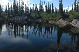
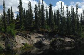
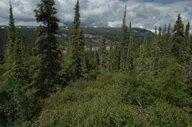
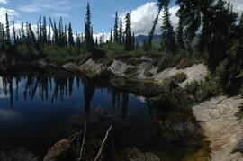
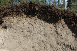
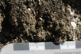
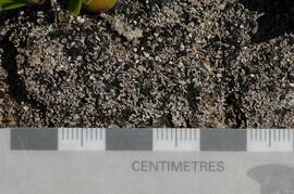
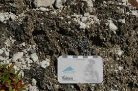
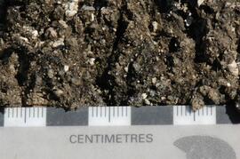
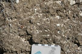
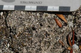
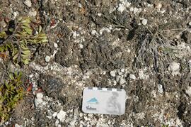
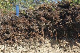
File consists of the following data sets:
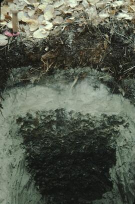
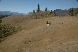
- Kluane crust Min N (2003) S671FINL.xls [mineralizable nitrogen for biological soil crusts & upper mineral soil, 2003 samples]
- Kluane Crust samples (2004) moisture contents.xls [moisture content of air-dry 2004 crust samples from Peninsula & Silver City sites; sampling procedures & locations in Marsh et al. (20060]
- Kluane Soil Crusts (2004) chemical analyses.xls [consolidated file of chemical data for 2004 crust samples from Peninsula & Silver City sites]
- Kluane 2003 soil & crust 15N data.xls [15N natural abundance, total N, organic & inorganic C for 2003 crust & upper mineral soil samples]
- Kluane 2003 soil data.xlsx [consolidated file of chemical data for 2003 crust and mineral horizon soil samples]
- Kluane Crust 2004 total C & N data.xls
- Kluane AMS dates (2003-2008 charcoal samples).xls [radiocarbon dates from the University of Arizona Accelerator Mass Spectrometry Lab]
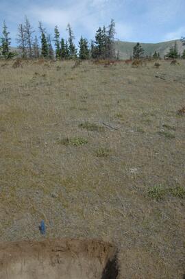
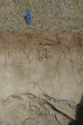
- Kluane soil transect - texture data.xls [2009 soil particle size analysis data, with potential lithological breaks highlighted]
- Kluane surveys 2009.xls [topographic surveys for 3 soil transects cutting across eskers along Cultus Bay Rd., SE shore of Kluane L.]
- S1061_1069_Final_Rev1.xls [lab data report from Ministry of Forests Analytical Chemistry Laboratory for 2009 transect samples: total C, inorganic C, & total N]
- 100812003 (annotated) -corrected.xls [2009 transect samples: particle size analysis data report from CANTEST]
- Kluane soil transect - master data file.xls
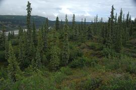
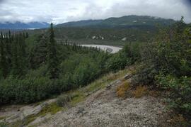
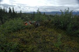
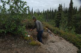
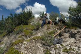
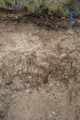
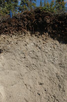
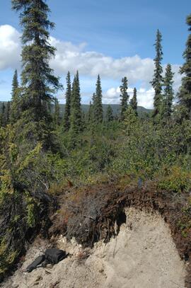
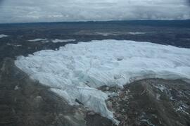
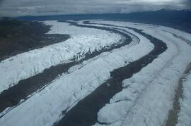
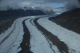
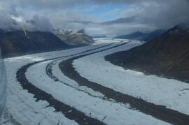
With the assistance of the Yukon Geological Survey, Dr. Paul Sanborn was able to visit the terminus of the Klutlan Glacier, a major outlet glacier which originates in the Alaska portion of the St. Elias Mountains. The stagnant terminus has a thick cover of debris, including a large component of White River tephra, providing enough soil material to support a boreal forest. Field work occurred on July 8, 2007, and results were published as:
Sanborn, P. 2010. Soil formation on supraglacial tephra deposits, Klutlan Glacier, Yukon Territory. Canadian Journal of Soil Science 90: 611-618. https://doi.org/10.4141/cjss10042
File contains the following data sets:
- S925finl.xls [chemical analysis data, Ministry of Forests & Range, Analytical Chemistry Laboratory for pedons Y07-06 & Y07-07; also includes data for BC07-03 & BC07-04 (Boreal Cordillera grassland soils – see associated file note)]
- S1007finl_revised2.xls [chemical analysis data, Ministry of Forests & Range, Analytical Chemistry Laboratory for pedons Y07-06 & Y07-07: oxalate & dithionite extractions, P retention; also includes P retention data for Nazko pedons BC07-07 & BC07-09]
- CANTEST lab report 90206003.pdf [particle size analyses for Klutan Glacier pedons Y07-06 & Y07-07; also Tuya pedons BC07-03 & BC07-04 &]
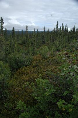
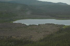
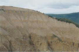
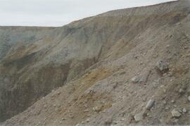
This image is part of the outbound sequence of aerial images obtained on the helicopter flight to the Klutlan Glacier study site. The sequence starts from the base camp at the White River crossing on the Alaska Highway and heads south, to a point just upvalley of the debris-covered terminus (approx. 10-15 km from Alaska border), and turning back north to the landing spot on the Generc River floodplain close to the study site (see Fig. 1 in paper).
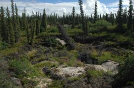
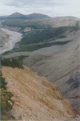
This image is part of the outbound sequence of aerial images obtained on the helicopter flight to the Klutlan Glacier study site. The sequence starts from the base camp at the White River crossing on the Alaska Highway and heads south, to a point just upvalley of the debris-covered terminus (approx. 10-15 km from Alaska border), and turning back north to the landing spot on the Generc River floodplain close to the study site (see Fig. 1 in paper).
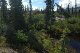
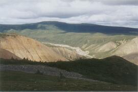
This image is part of the outbound sequence of aerial images obtained on the helicopter flight to the Klutlan Glacier study site. The sequence starts from the base camp at the White River crossing on the Alaska Highway and heads south, to a point just upvalley of the debris-covered terminus (approx. 10-15 km from Alaska border), and turning back north to the landing spot on the Generc River floodplain close to the study site (see Fig. 1 in paper).
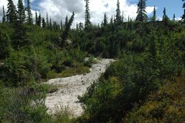
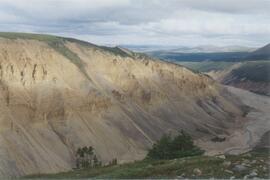
This image is part of the outbound sequence of aerial images obtained on the helicopter flight to the Klutlan Glacier study site. The sequence starts from the base camp at the White River crossing on the Alaska Highway and heads south, to a point just upvalley of the debris-covered terminus (approx. 10-15 km from Alaska border), and turning back north to the landing spot on the Generc River floodplain close to the study site (see Fig. 1 in paper).
The following Excel files are the primary lab reports from the Ministry of Forests analytical laboratory. At the time of this study, the lab reports would only use a minimal sample identification consisting of a sequential number (1, 2 … etc.) for each sample in a job. The submitter had to maintain their own records to link that sequential number in the report to something more meaningful – in this case, the tag number on the litterbag, the litter type, and the plot number – as recorded in my consolidated file Kenneth Creek Litterbag Sample Numbering.xlsx
- T458FINL.xls [Most of the data in this file – samples 7-31 – are for litter trap samples in the fall 1997 collection, but the first 6 are triplicate analyses of the initial pine needle litter materials used in the litterbags: #1-3 are Control, and #4-6 are ON2.]
- T483FINL.xls [Litterbags recovered May 5, 1998]
- T508FINL1.xls [Samples 19-42 are from the Kenneth Creek litterbags, recovered Oct. 20, 1998; samples 1-18 are from the EP 1148 (Bobtail) litterbag experiment, recovered Oct. 1998]
- T551FINL.xls [Litterbags recovered April 30, 1999]
- T589F.xls [Litterbags recovered October 12, 1999]
- T613FINL.xls [Litterbags recovered May 4, 2000]
- T650FINL.xls [Litterbags recovered October 11, 2000]
- T700FINL.xls [Litterbags recovered September 27 – October 5, 2001]
- T765FINL.xls [Litterbags recovered September 21, 2002]
- T830FINL.xls [Litterbags recovered October 15, 2003]
- T901FINL.xls [Litterbags recovered October 1, 2004]
Two files contain the complete records of initial litter materials and recovered litterbag contents, with some limited summaries of mean values by treatment and recovery date:
- BowDcomp.xls [complete record of weights of recovered litterbag contents in “Raw Data” tab]
- Bowron Litterbag Chemistry (update Aug 2010).xls [complete compilation of chemical analyses of initial and recovered litterbag materials]
Item is the manuscript by Sanborn and Brockley entitled "Litterfall in a lodgepole pine fertilization experiment, Sub-Boreal Spruce zone, central interior British Columbia", which was submitted to the Canadian Journal of Forest Research but not accepted.
Includes the following data sets from Kenneth Creek installation litterfall collection:
Traps were emptied 3 times per year (May, August, October) and the weights of the sorted contents of each trap were reported for each collection interval in these files:
- BOWAUG95.XLS
- BOWOCT95.XLS
- BOWMAY96.XLS
- BOWAUG96.XLS
- BOWOCT96.XLS
- BOWMAY97.XLS
- BOWAUG97.XLS
- BOWOCT97.XLS
- BOWMAY98.XLS
- BOWAUG98.XLS
- BOWOCT98.XLS
- BOWMAY99.XLS
Sorted litter trap materials – composited for each plot and sampling date – were submitted annually to the Ministry of Forests and Range Analytical Chemistry Laboratory for analysis. The following files provide the link between the sequential sample numbers used in the lab result reports and the records of sampling date, plot number, and material type:
- BOW95LIS.xls
- BOW96LIS.xls
- BOW97LIS.xls
- BOW98LIS.XLS
- BOW99LIS.XLS
The following files have the original lab reports in the “Raw Data” pane, and the lab data merged with the sample identification information in the “Labelled” pane:
- T368finl (May -Oct 1995).xls [August & October 1995 litter collections]
- T384finl (Oct 1995-May 1996).xls [May 1996 litter collection]
- T424finl (May-Oct 1996).xls [August & October 1996 litter collections]
- T442finl (Oct 1996-May 1997).xls [May 1997 litter collection; sample numbers shown in red indicate small samples, so micronutrient data may have lower accuracy]
- T458finl (May-Aug 1997.xls [August 1997 litter collection; samples #1-6 are the initial pine needle litter materials used in the companion litterbag decomposition experiment, with #1-3 = Control, #4-6 = ON2]
- T463finl (Aug-Oct 1997).xls [October 1997 litter collection]
- T488FINL (Oct 1997-May 1998).xls [May 1998 litter collection]
- T518finl (May-Aug 1998).xls [August 1998 litter collection]
- T530finl (Aug-Oct 1998).xls [October 1998 litter collection]
- T568FINL (Oct 1998-May 1999).xls [May 1999 litter collection]
Four files have annual summaries of litterfall amounts, element concentrations, and element fluxes by plot and treatment:
- Litterfall Summary 1995-96.xls
- Litterfall Summary 1996-97.xls
- Litterfall Summary 1997-98.xls
- Litterfall Summary 1998-99.xls
More compact tabular summaries of the litterfall and element fluxes over the 4-year period of monitoring are in:
- Litterfall Annual Flux Summary.xls
- Litterfall Annual Fluxes 1995-99 (Tables).xls
Three additional files provide pine foliar chemical data and preliminary estimates of the extent of element retranslocation from foliage prior to litterfall:
- Kenneth Creek (EP886.13) foliar data (1993-99) .xlsx
- Kenneth Creek nutrient retranslocation.xls
- Autumn foliage & needle litter comparison.xls
