2006.18.6
·
Series
·
1960-2008
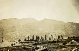
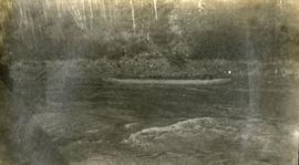
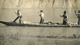
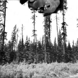
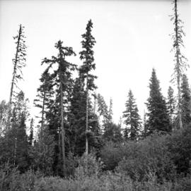
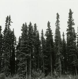
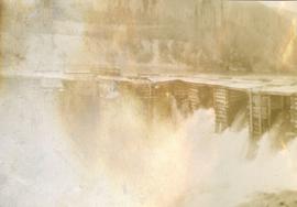
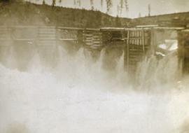
Part of Aleza Lake Research Forest Society fonds
Series consists of photographs created or accumulated by the Aleza Lake Research Forest Society.