2023.2.2.5.4
·
Item
·
[1993?]
Part of Dr. Paul Sanborn fonds
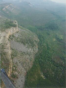
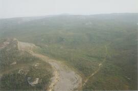
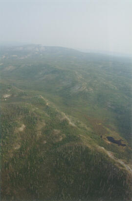
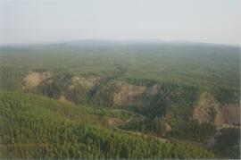
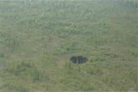
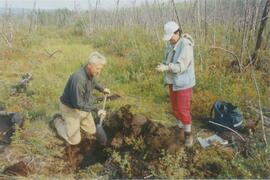
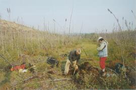
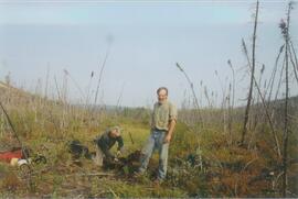
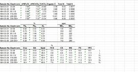
Undated 2-page memo to Dave [Carter?] [from Scott Smith?] with review comments on a draft manuscript; attached to a draft table with basic characterization data for 3 paleosol sequences at the Lost Chicken mine (profile numbers 91010, 91011, & 91013)