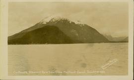
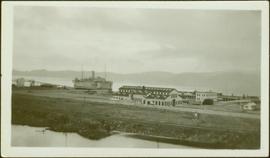
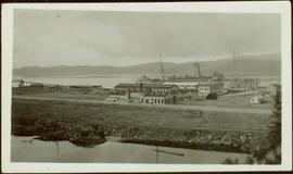
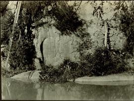
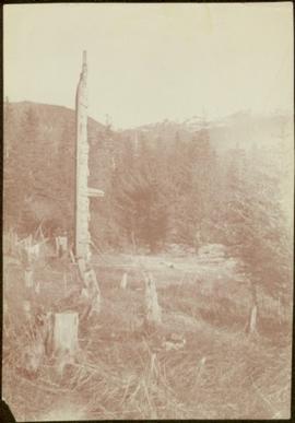
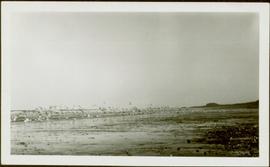
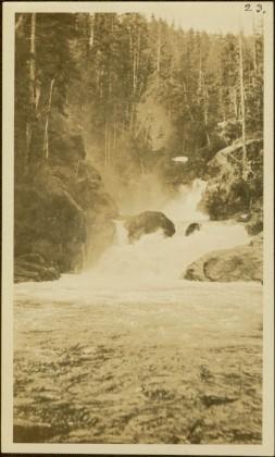
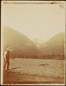
2009.7.1.150
·
Item
·
[ca. 1878 - ca. 1915]
Part of Archdeacon W. H. Collison fonds
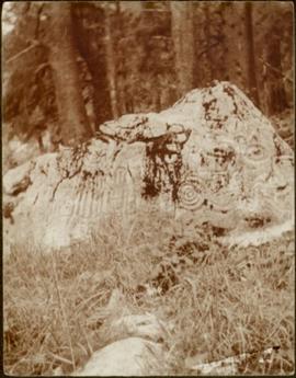
Photograph features a steep cliff across water, rocky shore in foreground.
Handwritten annotation on verso reads: "Up the 'Big Creek' at Kincolith B.C. Rock face called 'the place of echoes' by the Indian people."