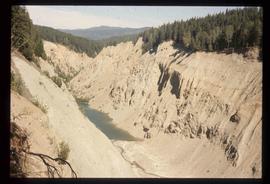
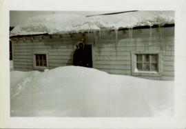
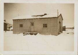
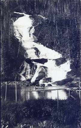
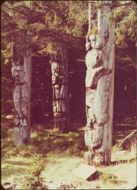
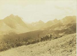
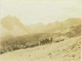
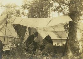
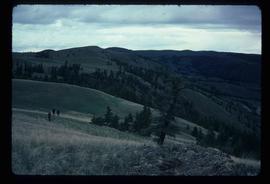
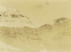
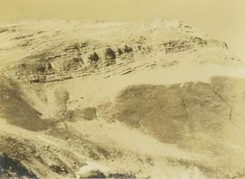
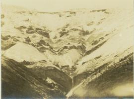
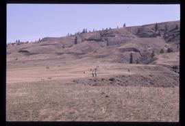
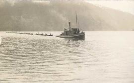
Image depicts a view of Terrace, B.C.
Image depicts a rail road bridge located somewhere near Terrace, B.C.
Image depicts the Terzaghi Dam viewed from the downstream side near Bralorne B.C.
Image depicts the Terzaghi Dam on the Bridge River, looking from the upstream (reservoir) side located near Bralorne, B.C. The water is Carpenter Lake.
Image depicts a collapsing shack somewhere near Tête Jaune Cache, B.C.
Image depicts a forest service cabin somewhere near Tête Jaune Cache, B.C.
Image depicts a vehicle on a gravel road somewhere near Tête Jaune Cache, B.C.
Image depicts the Bullion Pit in Likely, B.C. It is a man-made canyon from the days of the gold-rush, formed by the use of hydraulic monitors. The gold-mine operated from 1892 to 1942.
Image depicts a section of Isaac Lake which is apparently known as the "chute."
Photograph of a large explosion next to a huge pile of debris. Buildings are visible on either side and railroad track can be seen in the foreground. Annotation on recto reads: "The Last Big Blast, Prince Rupert BC 21 Jan 1914 McRae Bros. Photo"
Photograph depicts the boat "John Antle" motoring on the water near a rocky, tree covered cliff. Handwritten annotation on verso states: "M.S. John Antle on her rounds entering Smuggler Cove". Stamped annotation on verso reads: “The National Film Board”
Photograph depicts the north shore along the Peace River with a small, rocky mountain rising above the water.
Bob White, a teacher, standing on the porch of the teacherage after a blizzard.
Side perspective of the teacherage located on Brown Ave. in Giscome. Photo taken in November after the first snow. Handwritten annotation in pen on verso reads: “Our House.”
Photograph depicts four men in a boat on a lack with a waterfall in the background running through a forest into the lake. Annotation on verso of photograph states: "The water fall + flume for Brown's sawmill Hoscall River BC"
Forest in background.
Image depicts three unidentified children standing in the doorway of a house, with two goats ascending the porch steps. The location is uncertain, likely Sinclair Mills, B.C.
Photograph depicts three unidentified crew men searching for game through binoculars while their horses stand by. In the background a forested valley surrounded by a mountain range is visible.
Photograph depicts three unidentified crew members seated under a canvas tarp in forested area.
Image depicts a view of the scenery, with three hikers in the bottom left corner of the image.
Image depicts three men and a dog on the hiking trail near Mt. Robson.
Photograph depicts three men at a whaling station with debris on the ground and a large elevated tank in the background.
Photograph depicts three men fishing in a boat with a cannery and wooden buildings along the forested shoreline in the background.
Photograph depicts three men standing in dirt area near fire wood. Tent building semi-visible on left, forest trees behind snow pile in background. Handwritten annotation on recto of photograph: "Relief camp at Penny. 100 men - A.K. Bourchier Foreman - Dixon Taylor timekeeper. [Ted Nevan?] purchasing agent - hungry thirties. Construction days. Mile 29 - A.K. Bourchier J.P." Man in middle is believed to be A.K. Bourchier.
Image depicts three unknown individuals at a campsite.
Image depicts two individuals seated at a picnic table while a third stands closer to the water on a beach somewhere in Kitimat, B.C. What appears to be a harbour can be seen on the water.
Image depicts three individuals and three dogs standing by a stream at an uncertain location, possibly somewhere in Bear Glacier Provincial Park. The woman in purple is possibly Sue Sedgwick.
Image depicts three picnic tables, one of which is occupied with three unknown individuals, on a beach somewhere in Kitimat, B.C.
Photograph depicts two small children standing with snowshoes in front of wolf pelts hung from a pole in snow-cleared area, miscellaneous items throughout. Forest in background. Typed annotation on recto of photograph: "Wolf pelts, taken at Teslin Lake B.C." See also items 2009.5.2.66 & 2009.5.2.67.
Image depicts a woman standing in a field, with a sign in a tree behind her pointing the way towards the Raven Cabin.
Image depicts an old tomb stone at an uncertain location, possibly Fort St. James, B.C.
Image depicts the tombstone of T.J. Menefee in the cemetery in Soda Creek, B.C.
Photograph depicts the craggy top of a mountain peak situated above an alpine lake. The location of the photograph is the Mt. Petrie area from the north and northwest.
Photograph depicts the top of a mountain ridge situated next to an alpine lake. The photograph location is the Mt. Petrie area from the north and northwest.
Photograph depicts a top view of an extensive mountain range with snow-covered peaks.
Image depicts a totem pole at an uncertain location, possibly in Gitwinksihlkw, B.C.
Image depicts several individuals examining totem poles which are possibly undergoing a restoration process somewhere on Haida Gwaii.
Image depicts a view of the scenery at an uncertain location with numerous individuals, possibly tourists, present. It is possibly somewhere near the Fraser River.
Image depicts a view of the landscape at an unknown location with a group of people, possibly tourists, present. It is possibly near the Fraser River.
Photograph depicts a tug boat hauling a line of small fishing boats across the water with a mountain in the background. Annotation on verso of photograph states: "Tow of Cannery Fishing boats"
Photograph depicts horse and rope in Fraser River. Hill on opposite shore in background.
Photograph depicts the Cassiar townsite in foreground. Mill, dry rock storage building, and tailings pile can be seen in background. Handwritten annotation on verso of photograph: "1958 [1961 crossed through]."
Photograph depicts tracks made by machinery in an earth road turning left in forest.
Image depicts a tractor with a claw lifting logs at a saw mill in Prince George, B.C.
Image depicts a patch of snow-covered ground with a sign that reads "Trail of 98," somewhere along the White Pass railway.
Photograph of a team of sled dogs pulling a load, followed by a group of men. Mountains are visible in the background. Printed annotation on recto reads: "Trail Over Bitter Creek Glacier to the Naas."
Image depicts a train in an uncertain location, though it is possibly Howe Sound in the background.