Photograph depicts the B.C. Electric Railway, looking east from the depot at Cloverdale.
Photograph depicts the B.C. Electric Railway crossing 3rd Ave. with the first intersection at the immediate left. Note the abandoned double trackage at left. The view is looking north.
Photograph depicts the B.C. Electric Railway crossing at Serpentine Creek, 2 miles west of Cloverdale. The view is looking north.
Photograph depicts the B.C. Electric Railway crossing on Main St. in Langley, looking southwest.
Photograph depicts the B.C. Electric Railway depot at Huntingdon and Sumas, about 20 ft from the U.S.-Canadian border. The view is looking southeast.
File consists of historical and statistical research material regarding the BC Electric Railway. Predominantly consists of photocopy reproductions, excerpts from books, and clippings from periodicals. Includes the following works: "Brief History of British Columbia Electric Company Interurban Lines" by Cecil Maiden; "From Almost Horses to Trackless Trolleys" from The Buzzer; "British Columbia Electric Interurbans" roster; "Some Historical Dates in Southwest British Columbia Transit History" by Shantler; "B.C.E.R. Statistics" by Davies; "How Three BCER Electric Freight Locomotives were Cornered Near Vancouver's Downtown" by Davies; "Commuting in British Columbia: Vancouver's British Columbia Electric Railway was the Canadian Equivalent of the Sprawling Pacific Electric" by Swett; "The Centennial of Electric Traction" by Angus; and "British Columbia's Street Car Centenary" by Ewert.
Photograph depicts the B.C. Electric Railway in Langley, looking northeast from town grade crossing.
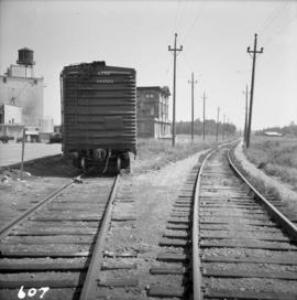
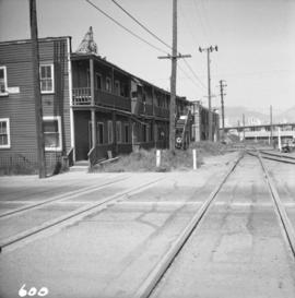
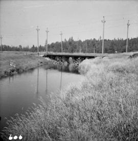
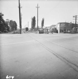
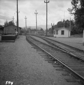
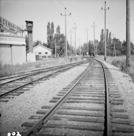
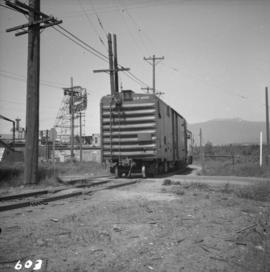
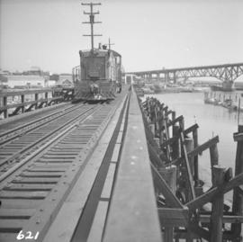
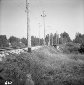
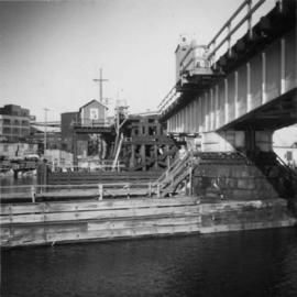
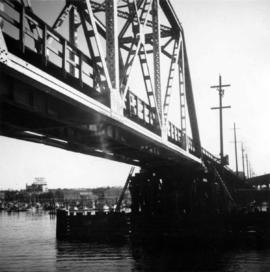
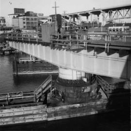
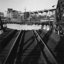
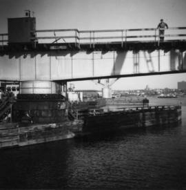
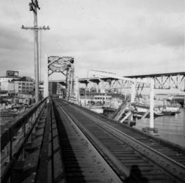
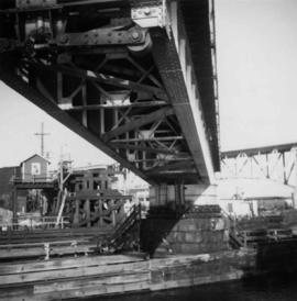
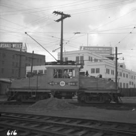
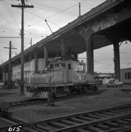
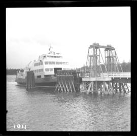
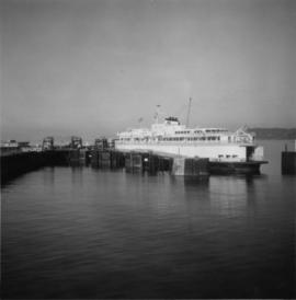
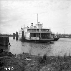
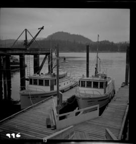
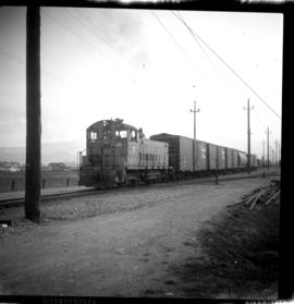
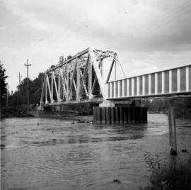
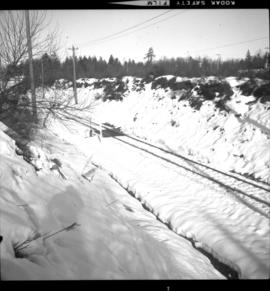
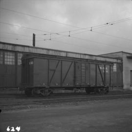
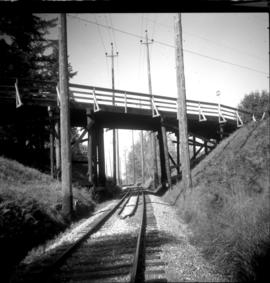
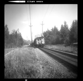
File consists of research material regarding the BC Electric Railway interurbans, including the Fraser Valley line and the Lulu Island line. Predominantly consists of photocopy reproductions, excerpts from books, and clippings from periodicals. Contains the following works: "Traction Substations" by Waddington; "By Interurban to Chilliwack: Memories of a 1949 Ride" by Hind; "How the Interurbans Came Home to British Columbia" by Turner; "How the Rule of the Road was Changed in British Columbia" by the British Columbia Electric Railway Company; "By BCER Interurban to Fraser Mills" by Smith; "Our Centurions" by Webster; "How Three BCER Electric Freight Locomotives were Cornered Near Vancouver's Downtown" by Davies; "British Columbia Electric Railway Company Limited" by Ewert; "The Rebirth of 1231" by Murphy; "Interurban Era Ends with 1958 Run to Steveston" by Ewert; "Preserved BCER Interurban Station Shelters" by Green; "BCER's Connaught Car Back Home After 50 Years"; "1957 Recollections of B.C.E.R. Interurban Line from Marpole to Steveston, Greater Vancouver" by Davies; "Series 'Six Hundreds'" by Murphy; and "The Montreal and Southern Counties Railway" by T.C.H. Smith. Also includes a February 21, 1958 issue (vol. 43, no. 8) of "The Buzzer", the weekly publication of the British Columbia Electric Railway Company.
Photograph depicts a B.C. Electric Railway locomotive #902 and boxcar entering the Kitsilano yards and crossing 2nd Ave., near Fir St. in Vancouver.
Photograph depicts a B.C. Electric Railway locomotive #902 crossing the False Creek trestle, travelling north.
Photograph depicts the B.C. Electric Railway turning east at Glover Rd., south of Fort Langley.
Photograph depicts the B.C. Electric Railway swing bridge at False Creek on the west side looking north.
Photograph depicts the fixed span of the B.C. Electric Railway swing bridge at False Creek looking south.
Photograph depicts the B.C. Electric Railway swing bridge at False Creek.
Photograph depicts the B.C. Electric Railway trestle bridge swinging span at False Creek.
Photograph depicts the B.C. Electric Railway swing bridge at False Creek on the west side looking east as it is about to swing open.
Photograph depicts the B.C. Electric Railway trestle bridge over False Creek looking north at the fixed span. The fixed span can be removed by floating it onto a scow on rising tide to allow large and newly launched ships to get out to sea.
Photograph depicts the under face of the B.C. Electric Railway swing bridge at False Creek looking north.
Photograph depicts the False Creek Trestle bridge open and the Granville Bridge looking east.
Photograph depicts the B.C. Electric Railway swing bridge connecting Lulu Island to the mainland at New Westminster, looking north and taken from Lulu Island. The swinging span is left open except for the passage of freight trains.
File consists of British Columbia Hydro and Power Authority Railway Division timetable 81 (16 June 1968) and timetable 95A (6 Dec. 1987). Also includes a First District Time Table No. 75.
Photograph depicts B.C. Electric Railway trackage being removed to approaches of locomotive house in New Westminster. The view is looking northeast, probably up 14th St.
Photograph depicts the B.C. Electric Railway trackage at Kerrisdale in Vancouver. The photo was taken from 49th Ave. and West Boulevard, looking north. The second track used to lie to the right of the existing one.
Photograph depicts a B.C. Electric Railway trolley electric locomotive #960, in freight yard below the Georgia Viaduct in Vancouver.
Photograph depicts the B.C. Electric Railway workshops at the south end of the Burrard bridge in Vancouver. The view is looking west and depicts caboose A10 in the background.
Photograph depicts the "Queen of Victoria," in the Burrard Dry Dock. It was being lengthed by an addition of a new midships section.
Photograph depicts the B.C. Ferry Authority ship the "Comox Queen" at the Little River wharf on Vancouver Island. It is 4 miles north of the village of Comox.
Photograph depicts a B.C. Ferries vessel on standby as a relief slip during winter shedules.
Photograph depicts the B.C. Ferry Authority Vessel M.V. "Jervis Queen" undergoing a refit at Deas Island basin in the Fraser River.
File consists of material regarding the attraction near Duncan known variously as the Cowichan Valley Forest Museum, the BC Forest Discovery Centre, and the British Columbia Forest Museum Park. Includes pamphlets, ticket stubs, and clippings from periodicals. Also includes issue no. 23 of 'Museum Round-Up' from July 1966 that features a cover story on the Cowichan Valley Forest Museum.
Photograph depicts two B.C. Forest Service boats, the "Silver Fir" on the left and the "Cherry II", in Pender Harbour on the Sechelt coast.
Photograph depicts the B.C. Forest Service Ranger's administration and equipment building at Pender Harbour in Sechelt, B.C.
File consists of a British Columbia Harbours Board Railway timetable 6 (28 Oct. 1979).
Photograph depicts locomotives of the BC Hydro Railway.
File consists of research material regarding the BC Hydro Railway. Predominantly consists of photocopy reproductions, excerpts from books, and clippings from periodicals. Includes information about the formation of the BC Hydro Railway in 1961, specifications of locomotives 960 and 961, and schedules. Contains the following works: "B.C. Hydro Rail: A Brief History"; "Map of Railway Freight Lines Operated by British Columbia Hydro and Power Authority"; and "B.C. Hydro Railway (The 'BCE' Route)"; "The Big Boys Little Helper in the British Columbia Lower Mainland: She Makes rail Ends Meet--Makes Projects--And a Host of Friends Through Efficient Service" by Adams; and "B.C. Electric - B.C. Hydro: A Brief Survey of Rail Operations" by Ewert.
Photograph depicts locomotives of the BC Hydro Railway.
Photograph depicts a westbound way freight switching at the Matsqui Industrial Centre on the north side of Abbotsford. Train consisted of BC Hydro Railway locomotives and 25 box cars.
Photograph depicts BC Hydro Railway freight travelling north towards Abbotsford.
File consists of documentary photographs taken by David Davies of the BC Hydro Railway and the BC Electric Railway.
Photograph depicts the B.C. Hydro railway bridge crossing the Vedder River. View is looking northeast and upstream.
Photograph depicts the Central Park Branch in Burnaby. Taken just west of the Stride Avenue grade crossing. The spur visible in the background led to the Dominion Glass Company Ltd. bottle plant.
Photograph depicts the B.C. Hydro railway car #X50 in the freight yard below the Georgia Viaduct in Vancouver.
Photograph depicts a switch that was recently removed and that formerly led to a grain storage and feed merchants warehouse.
Photograph depicts the Clayborn diamond crossing that intersects with the CPR Huntingdon branch. All BC Hydro Railway trains had to stop at this "home" signal before the interlocked could work.
Photograph depicts the Clayborn diamond crossing on mile 37.0. The eastbound BC Hydro Railway freight was just nearly across the CPR tracks. Image captured from the signal interlocking hut.
Photograph depicts the Clayborn diamond crossing on mile 37.0. An eastbound 45 car BC Hydro Railway freight had just cleared the crossing. Now it was stopped, awaiting the conductor who had just worked the signals in an interlocking shanty.
Photograph taken at the overpass bridge on the BC Hydro Railway, close to the intersection of County Line Road and Howell or 64th Avenue.
Photograph depicts a CPR unit coal train travelling eastward at the Livingstone Road grade crossing, near the freeway and with half of the train already on the CNR connector. This connects the main line of BC Hydro Railway with the CNR main line (known as the Rawlison Subdivision CNR).