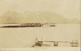
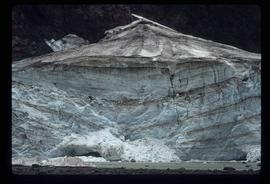
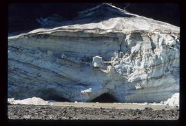
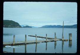
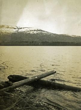
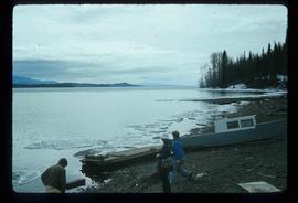
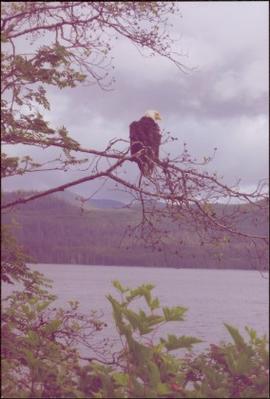
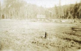
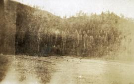
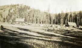
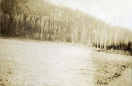
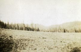
Image depicts Atlin Lake.
Image depicts a mountain, possibly Atlin Mountain.
Photograph of a vessel in a large body of water with several mountains visible in the background. Printed annotation on recto reads: "Atlin Mt., Atlin, B.C."
Image depicts what is possibly Atlin Road. Numerous mountains are visible in the distance.
Image depicts a mountain somewhere along what is possibly the Atlin Road.
Photograph depicts the Atlin townsite, forest in foreground, hills in background. Town stands on edge of lake located in left midground. Handwritten annotation on verso of photograph: "Atlin City B.C., Sept. 3rd 1899. Copyrighted by S.A. Smythe Atlin, B.C."
Photograph depicts town site in foreground, lake and mountains in background. Handwritten annotation on recto of photograph: "Atlin: Atlin, Atlin Lk, & Atlin Mts. looking N.west from Glassey's (Govt. Agent) window."
Item is an original 1983 map depicting Atnarko River in British Columbia, published by the Province of British Columbia Ministry of Environment.
Image depicts a glacier at an uncertain location; the slide labels it as "avalanche glac."
Image depicts a glacier on the side of a road at an uncertain location; the slide labels it as "avalanche glac."
Image depicts a glacier at an uncertain location; the slide labels it as "avalanche glac."
Image depicts a glacier at an uncertain location; the slide is labelled "after two days," and shows how much it has melted.
Image depicts a glacier at an uncertain location; the slide is labelled "before."
Slightly elevated view of the Prince Rupert Inn on Avenue A. Printed annotation on recto reads: "Avenue A Prince Rupert BC Allen Photo." Handwritten annotation on verso reads: "August 9 1908 Hopping[sic] this will find you all well with kind regards. [illegible]. C Mouat." Postcard is addressed to: "Miss Jemima Colvin Rosedale Farm Cowichan Station B.C." Verso affixed with a one cent Canadian stamp. Postmark on verso reads: "Prince Rupert BC Au 9 08."
Photograph depicts a group of men and dogs standing outdoors in the sunshine.
Image depicts two unknown individuals pulling a canoe through Babcock Lake's three mile creek.
Image depicts Babine Lake.
Photograph depicts a view from the shore of Babine Lake looking across the water to forest and snowy mountain peaks in the distance. [55th parallel]
Image depicts several unknown individuals on the shore of Babine Lake.
Image depicts a boat on Babine Lake, taken from Granisle, B.C.
Image depicts a back road at an uncertain location, possibly near Iron Road North, north of Woodpecker, B.C.
Handwritten annotation on verso reads: “Bald Eagle, Skidegate, 2007”.
Item is a photograph of a river bend and the surrounding country taken from the air.
Item is a photograph of a rural area taken from the air.
Item is a photograph of the Chittagong Research Institute buildings.
Item is a photograph of people fishing in a boat with nets.
Item is a photograph of a fishing boat with the net deployed with other boats and people on shore.
Item is a photograph of a forested area.
Item is a photograph of a house under construction. Unknown individual sits on ground in foreground.
Item is a photograph of a forested area with man riding a elephant with two others nearby.
Item is a photograph of people and boats on a river’s edge.
Item is a photograph of people in a boat on a river with another boat in the background.
Item is a photograph of people and boats on the shore of a river.
Item is a photograph of a sail boat hauling logs.
Item is a photograph of tress on a rock covered embankment taken from a moving vehicle.
Item is a photograph of a woman working in a field.
Image depicts numerous logs that have been stripped of their bark at a saw mill in Prince George, B.C.
Image depicts a forest of bare trees, possibly somewhere near Fort St. John, B.C.
Image depicts Barkerville, B.C.
Handwritten caption beside this photo reads: "Elaborate barricades required due to amount of loose rock falling continuously". Three men work in area confined by barricades made of vertical metal rods and horizontal wood planks. Miscellaneous building material and supplies cover the ground. Rock pile in foreground on right.
Image depicts a section of river located somewhere near Barriere, B.C.
Image depicts a basalt landform somewhere in or near Quesnel, B.C.
Photograph depicts packed horses walking in single file across an alpine meadow.
Photograph depicts a newly cleared field, forest and mountains in the background.
Photograph depicts a stump in the foreground, a building in the midground and forested mountains in the background.
Photograph depicts a field in the foreground, forest and mountains in the background.
Photograph depicts a field in the foreground, buildings and stumps in the midground and forest in the background.
Photograph depicts a newly cleared field, forest and mountains in the background.
Item is an original map depicting the Bateman forestry route. Map includes pen markings.