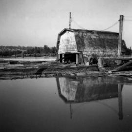
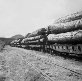
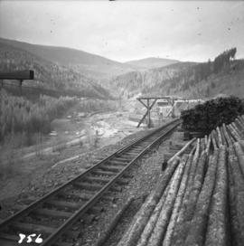
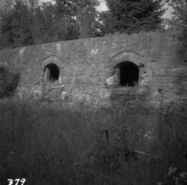
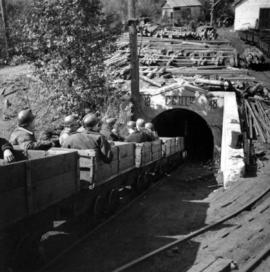
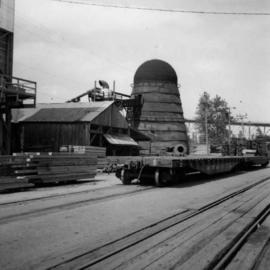
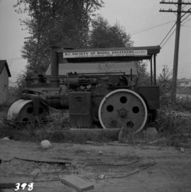
2013.6.36.1.003.096
·
Item
·
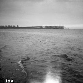
Apr. 1966
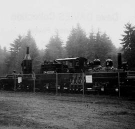
Part of David Davies Railway Collection
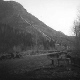
Photograph depicts a general view, looking north, of Westview Harbour with the Powell River paper plant smoking in the background.