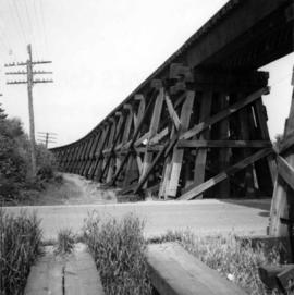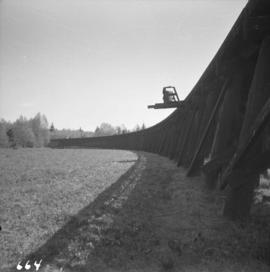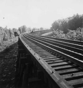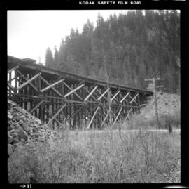
2013.6.36.1.022.10
·
Item
·
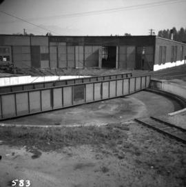
[17 July 1967]
Part of David Davies Railway Collection
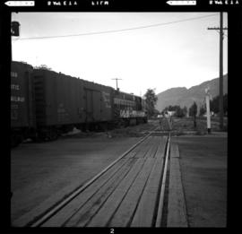
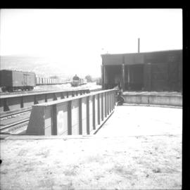
Photograph depicts a turntable at the CPR Penticton yard. The view is looking east.