File contains slides that reproduce historical photographs of Indigenous peoples of Central Interior, as well as maps.
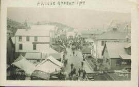
Photograph depicts crowds of people walking through street, hills in background. Printed annotation on recto reads: “Centre St. Prince Rupert May Celebrations 1909, Allen Photo July 09.” Handwritten annotation in ink on recto reads: “Prince Rupert 1909”
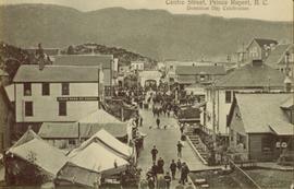
Elevated street view of a large crowd gathered on Centre Street in Prince Rupert for Dominion Day celebrations. The Dominion Day arch is visible in the background. Printed annotation on recto reads: "Centre Street, Prince Rupert, B.C. Dominion Day Celebration."
Street view of Centre Street in Prince Rupert, BC. Buildings are in various states of construction. Printed annotation on recto reads: "Centre St Prince Rupert B.C. June 20/08 JDA.""
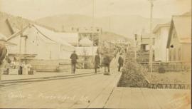
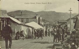
Street scene depicts people, boardwalks, tents, and store front. Printed annotation on recto reads: “Centre St. Prince Rupert: B.C., Allen Photos May 17. 09” Handwritten message on verso is addressed to “Dearest Darr”
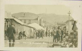
Street view of a crowd of men milling around on Centre Street in Prince Rupert, BC. Printed annotation on recto reads: "Centre Street, Prince Rupert, B.C."
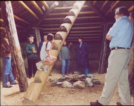
Unidentified women stands in centre background with arm raised, and a young girl sits on post in foreground. Photograph was taken during the chancellor's tour of Xats'ull Heritage Village, Soda Creek First Nation, Williams Lake, B.C.
Handwritten annotation on verso reads: "UNBC 1992".
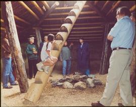
Unidentified women stands in centre background with arm raised, and a young girl sits on post in foreground. Photograph was taken during the chancellor's tour of Xats'ull Heritage Village, Soda Creek First Nation, Williams Lake, B.C.
Left to right: Chancellor Iona Campagnolo, Nick Petraryszak, Ellen Facey, unidentified woman and men. Mountains visible in background. Photograph taken during the Chancellor's 1996 regional tour through Atlin and Whitehorse; see also items 2009.6.1.578 - 2009.6.1.581.
Handwritten notation affixed to verso reads: "Iona w/ Lee Morrison (late) director of First Nations Centre at that time. Soda Creek / net fishing for elders".
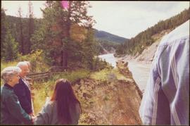
Photograph was taken during the chancellor's tour of Xats'ull Heritage Village, Soda Creek First Nation, Williams Lake, B.C.
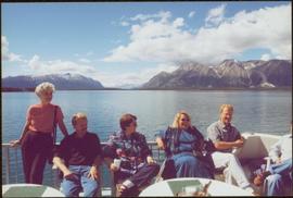
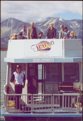
Left to right: Deborah Poff, Dennis Macknak, Charles Jago, an unidentified woman, Iona Campagnolo, an unidentified man, Ellen Facey, and an unidentified woman. Unknown man stands on lower deck in foreground. Mountains visible in background. Photograph taken during the Chancellor's 1996 regional tour through Atlin and Whitehorse; see also items 2009.6.1.578 - 2009.6.1.581.
Handwritten annotation on verso reads: "#3 Chancellor's Tour".
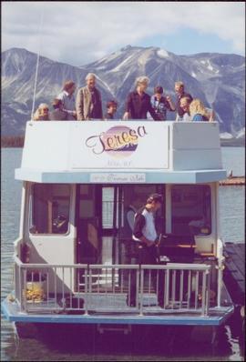
Left to right: Deborah Poff, Dennis Macknak, Charles Jago, an unidentified woman, Iona Campagnolo, Ellen Facey, Nick Petraryszak, an unidentified man, and an unidentified woman. Unknown man stands on lower deck in foreground. Mountains visible in background. Photograph taken during the Chancellor's 1996 regional tour through Atlin and Whitehorse; see also items 2009.6.1.578 - 2009.6.1.580.
Photograph was taken during the chancellor's tour of Xats'ull Heritage Village, Soda Creek First Nation, Williams Lake, B.C.
Photograph depicts a long line of 30 or more horses or mules and men. The horses appear to be tethered to a rope, some animals are wearing packs. Several men attend.
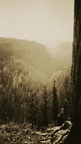
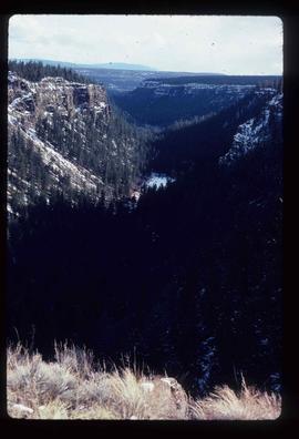
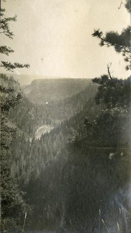
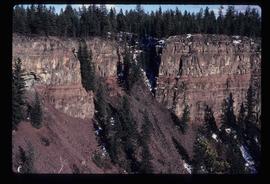
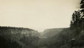
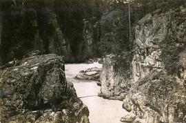
Photograph depicts "The Chasm" or "The Painted Chasm", located 11 miles north of Clinton, adjacent to the route of the Cariboo Road. In 1940, four years after this photograph was taken, Chasm Provincial Park was created in 1940 to preserve and promote the Painted Chasm feature, a gorge created from melting glacial waters eroding a lava plateau over a 10 million year span.
Image depicts a chasm full of trees at an unknown location.
Image depicts a chasm full of trees at an unknown location.
Photograph depicts a bird's eye view of a chasm and forested hills.
Image depicts the wall of a chasm full of trees at an unknown location.
Photograph depicts "The Chasm" or "The Painted Chasm", located 11 miles north of Clinton, adjacent to the route of the Cariboo Road. In 1940, four years after this photograph was taken, Chasm Provincial Park was created in 1940 to preserve and promote the Painted Chasm feature, a gorge created from melting glacial waters eroding a lava plateau over a 10 million year span.
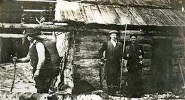
Photograph depicts three men standing in front of a log cabin. Two men hold fishing rods and each of these men hold a freshly caught fish. The third man stand to the side with a loaded back pack. Two men smoke pipes.
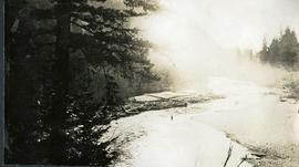
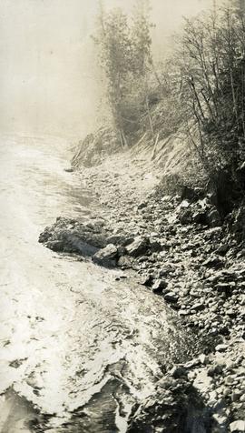
Photograph depicts a man wading waist deep in the river. Stones on the one shore, a log jam on the other shore, fog rolling over the stream in the distance.
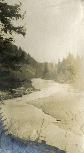
Photograph depicts a view of the Cheakamus river from a lofty perch.
Photograph depicts a close up view of the Cheakamus river. Stones and brush line the river bank.
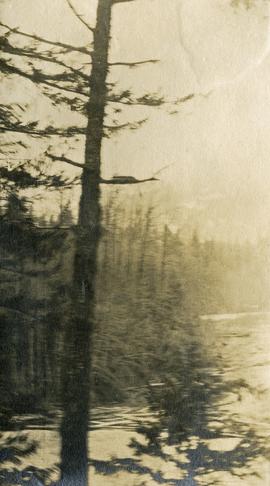
Photograph depicts a view from behind the trees, looking down on the river.
Photograph depicts the Cheakamus River at "18 mile", as seen from the railway grade.
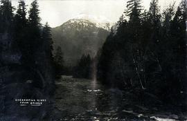
Caption provided on "real photo" postcard states: "Cheakamus River from bridge". However, this photograph may depict the Cheekye River, as seen from the railway bridge, looking southwest.
File contains slides depicting Chemanus, B.C.
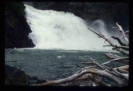
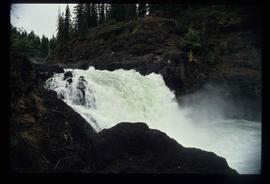
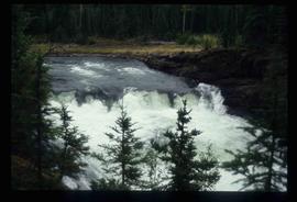
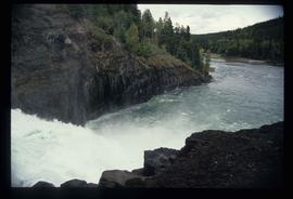
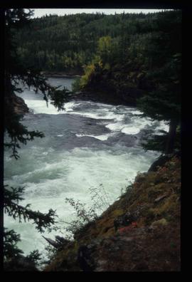
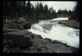
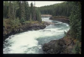
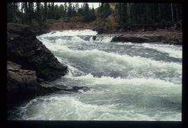
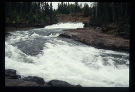
Image depicts the Cheslatta Falls.
Image depicts the Cheslatta Falls.
Image depicts the Cheslatta Falls.
Image depicts the Cheslatta Falls.
Image depicts the Cheslatta Falls.
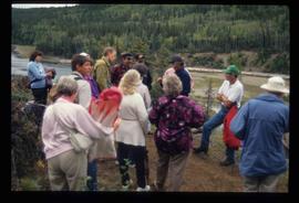
Image depicts what appears to be a tour group at Cheslatta.
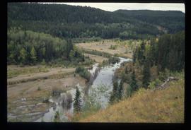
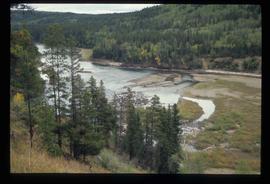
Image depicts the Cheslatta River.
Image depicts the Cheslatta River.
Image depicts the Cheslatta River.
Image depicts the Cheslatta River.
Image depicts the Cheslatta River.
Image depicts the Cheslatta River.
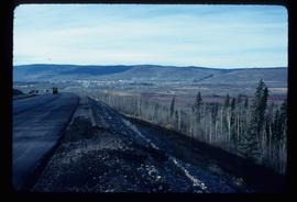
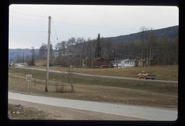
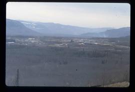
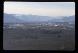
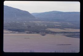
Image depicts a view of Chetwynd, possibly from Highway 97.
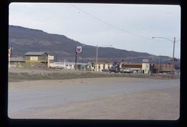
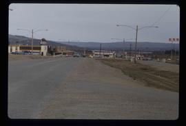
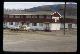
Image depicts a Chevron station as well as two motels in Chetwynd, B.C.
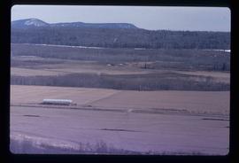
Image depicts a view of some farm land in Chetwynd, B.C.
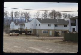
Image depicts several houses in Chetwynd, B.C.
Image depicts several businesses in a small section of Chetwynd, B.C. There is a motor hotel and a half-visible sign for an Esso gas station.
Image depicts a view of a saw mill in Chetwynd, B.C.
Image depicts a view of a saw mill in Chetwynd, B.C.
Image depicts a number of townhouses in Chetwynd, B.C.
Image depicts a number of townhouses in Chetwynd, B.C.
Image depicts a view of a train passing through an area of Chetwynd, B.C.
