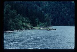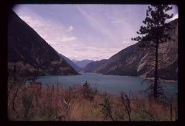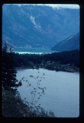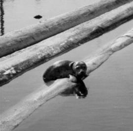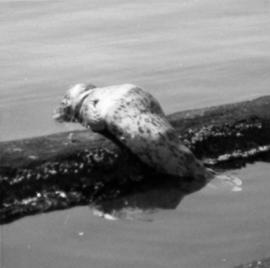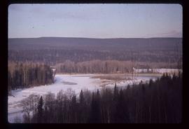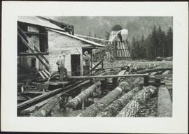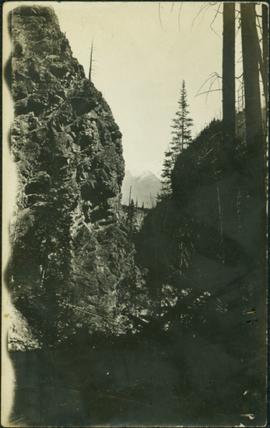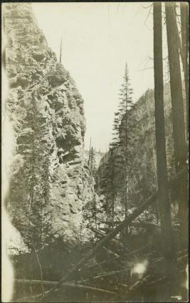
2012.13.1.82.01
·
Item
·
Mar. 1975
Part of J. Kent Sedgwick fonds
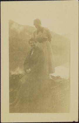
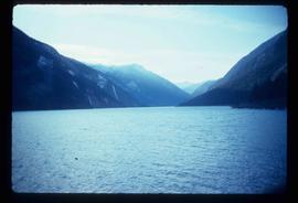
Image depicts a lake near Seton Portage; it is likely either Anderson or Seton Lake.