2009.7.1.018
·
Item
·
[ca. 1910 - ca. 1930]
Part of Archdeacon W. H. Collison fonds
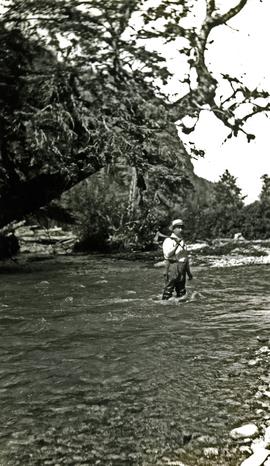
Rev. William Edwin Collison stands waist deep in water, with axe resting on shoulder (oldest son of Archdeacon W.H. Collison). Trees and hill on opposite shore visible in background.
Handwritten annotation on verso reads: "Dad at Kincolith".