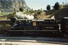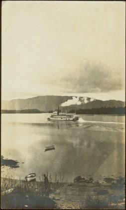
2013.6.36.1.098.05
·
Item
·
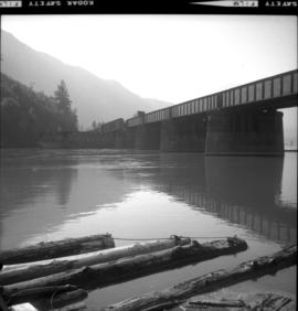
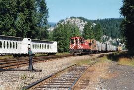
Aug. 1997
Part of David Davies Railway Collection
Photograph depicts switcher #8106 that served the 3 mile branch to a pulp mill. The switcher pulled with heavy string of loaded cars from the mill. The trip was a caboose run. Locomotive built in 1958 as part of a batch of 31. 17 of them remained in 1997.