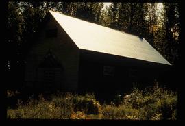
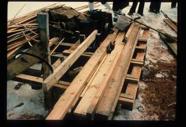
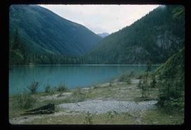
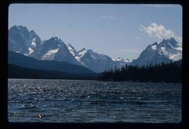
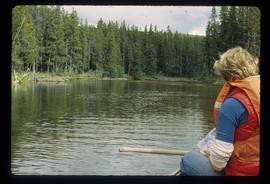
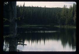
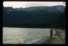
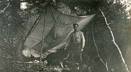
Image depicts an old, abandoned cabin with ivy growing up the side. The location is uncertain.
Image depicts an old and abandoned cabin with ivy growing up the side. The location is uncertain.
Photograph depicts a view from a high hill looking down on the Fraser River near Soda Creek.
Photograph depicts a tiny coastal village nestled on the shore. Treed hills surround the village, there are snow topped mountains in the background.
Image depicts a street in Wells, B.C. The Wells Hotel is present in the image.
Image depicts a street in Island Cache.
Image depicts what appears to be a shed at an uncertain location.
Photograph depicts a view from Billing siding toward a river with mountains behind.
Image depicts a saw and numerous wooden boards at an uncertain location.
Image depicts a road somewhere in Tumbler Ridge, B.C. There are numerous construction vehicles present.
Image depicts a road somewhere in Tumbler Ridge, B.C. There are three bush planes in the image.
Image depicts a road somewhere in Tumbler Ridge, B.C.
Image depicts what appears to be a type of log bridge crossing a river somewhere on Haida Gwaii.
Image depicts a river in South Tweedsmuir Provincial Park. There is an unknown individual present in a canoe with the camera-man.
Image depicts a mountain peak, possibly Mt. Robson.
Image depicts a mountain, possibly Mt. Robson.
Image depicts what appears to be a motel somewhere near Bralorne, B.C.
Photograph depicts a man in uniform and a woman posing for a photo on a road situated between a fenced area featuring totem poles. Along the water’s edge in the background there is a float plane, wharf and the Camosun vessel. Handwritten annotation on verso reads: “Alert Bay B.C. Union Steamships Ltd.”; “Alert Bay BC”; photographer’s stamp on verso states: “W.E. Nicholson, 268 E. 10th, Vancouver 10, B.C.”
Image depicts a man on the hiking trail near Mt. Robson, with a river in the background; it is possibly the Robson River.
The map of Canada is part of a greater booklet on Canadian history. This booklet was intended to help those preparing for their Canadian citizenship interview.
Image depicts an elevated view of a lake and a road located somewhere near Bralorne, B.C.
Image depicts what is possibly Melita Lake. The mountain in the background is possibly Tseax Cone, the volcano responsible for the existence of the Tseax lava flow.
Image depicts a lake somewhere near Mt. Robson; it is possibly Kinney Lake.
Image depicts a lake in South Tweedsmuir Provincial Park.
Image depicts a lake in South Tweedsmuir Provincial Park. There is an unknown individual present in a canoe with the camera-man.
Image depicts a lake in South Tweedsmuir Provincial Park.
Image depicts a lake in South Tweedsmuir Provincial Park. There is an unknown individual present in a canoe with the camera-man.
Image depicts an aerial view of a lake in South Tweedsmuir Provincial Park.
Image depicts a lake in South Tweedsmuir Provincial Park. There is a canoe present on the shore.
Image depicts a lake in South Tweedsmuir Provincial Park.
Image depicts a lake in South Tweedsmuir Provincial Park. An unknown individual is walking along the shore.
Image depicts a lake at an uncertain location.
Image depicts three people standing at the front door of a house at an uncertain location.
Image depicts a hotel in what appears to be a small community, possibly an outlying area of Bralorne, B.C.
Image depicts a horse on Cottonwood Island.
Image depicts a stretch of highway, possibly Highway 29 or 97.
Photograph depicts A. H. Holland standing under a tarp with a border collie dog. A pile of firewood is also under the tarp.
Image depicts what appears to be a ferry crossing a river at an uncertain location.
Image depicts a creek somewhere near Bralorne, B.C.
Image depicts a cow at an uncertain location.
Image depicts a church at an uncertain location.
Photograph depicts open fields, cleared land, rolling hills and a river. There is a fence across the middle of the field and a building near the riverbank.
Image depicts a camper and a man and woman at an uncertain location, possibly somewhere near Meldrum Creek, B.C. The woman in the image is Sue Sedgwick.
Elevated view of various buildings and vessels along the Prince Rupert waterfront. Several piles of lumber can be seen in the foreground. Printed annotation on recto reads: " Prince Rupert B.C., A busy day on the Waterfront."
Image depicts a truck on a bridge, possibly crossing over the Peace River.
Image depicts a bear, possibly a grizzly. The location is uncertain.