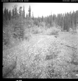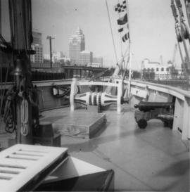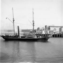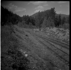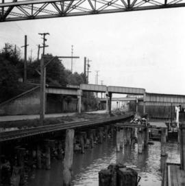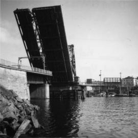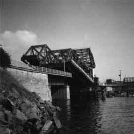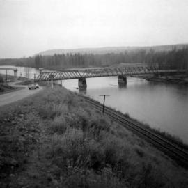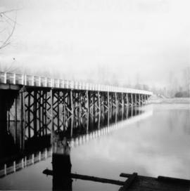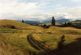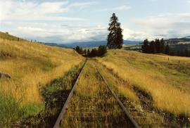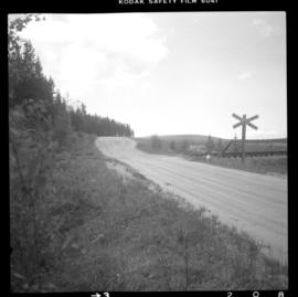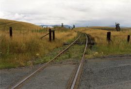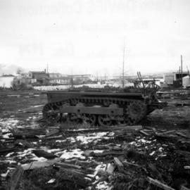
2013.6.36.1.082.07
·
Item
·
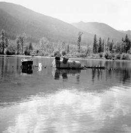
Dec. 1974
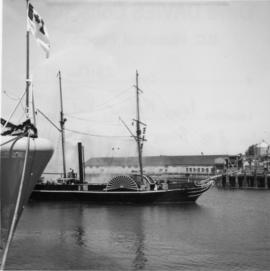
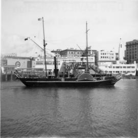
Parte de David Davies Railway Collection
Photograph depicts the possible remains of a WWII armoured personell carrier that belonged to a used machinery firm that was soon vacating due to land clearance.