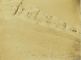
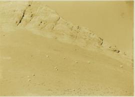
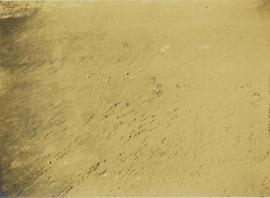
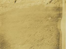
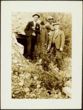
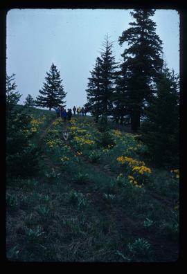
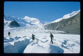
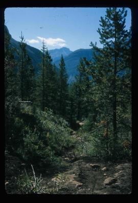
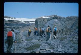
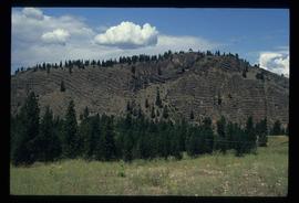
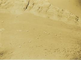
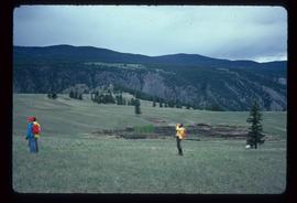
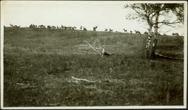
Field and tree in foreground. Handwritten annotation on recto of photograph: "These are the ones we took at the park. The ones of the antelope and yak didn't turn out plain enough to print." It is believed that this photograph was given to Lillian & A.K. Bourchier by their niece Jean.
Photograph depicts a distance perspective of a herd of mountain goats grazing across a rocky mountain slope.
Photograph depicts a herd of mountain goats grazing across a rocky mountain slope with the ridge of the mountain visible in the background.
Photograph depicts a distance perspective of a herd of mountain goats grazing across a rocky mountain slope.
Photograph depicts a distant perspective of a herd of mountain goats grazing across a rocky mountain slope.
Photograph depicts a distance perspective of a herd of mountain goats grazing across a rocky mountain slope.
File consists of records created and collected by Kent Sedgwick regarding the Heritage River Trails System and surrounding park areas in Prince George such as Cottonwood Island Park. Highlights include:
- Full page newspaper feature in The Citizen written by Kent Sedgwick that includes a detailed history of Cottonwood Island Park and the River Trails as well as a contest for naming the trail system (2 Nov. 1984)
- Graham Farstad, Director of Planning, City of Prince George, "Prince George's Heritage River Trail System" document, May 1986
- records relating to the dedication plaque for the opening of the trails
- "Heritage River Trails: A Guide to the Pathways along the Fraser and Nechako Rivers, Prince George, British Columbia" brochures created by Kent Sedgwick
- map on transparency depicting the Heritage River Trails System
File consists of notes and reproductions relating to the Heritage River Trails in Prince George that follow the shores of the Nechako and Fraser Rivers. Includes: "Heritage River Trails" brochure prepared by Kent Sedgwick (1984).
Image depicts a section of the Heritage Trail in Cottonwood Park.
File contains slides depicting the opening of the Cottonwood Park section of the Heritage River Trails in Prince George, B.C.
Hermina stands on shore close to water's edge at South Fort George. A power pole stands in water midground, in front of large white riverboat. Tree-covered hill on opposite shore in background. Handwritten annotation on verso of photograph: "Mother near the boats when the water was high."
Glassey stands with dog by tall pile of logs built for unknown purpose, hills and cliffs in background. Handwritten annotation on recto of photograph: "Hullat, B.C."
Photograph depicts two men in fenced garden, forest in background. Handwritten annotation on recto of photograph: "Yours truly and Jack [Chilmen?] picking turnips at 3rd [?] July 31 +- /[?]. Bert."
Glassey stands with three men in mine adit, rocky hillside and vegetation in background.
Photograph depicts Bert Glassey in winter gear standing with snowshoes and what appears to be a dogsled. Bushes and trees in background. Typed annotation on recto of photograph: "The Tribulations and privations of a Coroner in Northern British Columbia. April 18th, 1936. Taken in the Teslin Lake country of B.C."
Handwritten annotation on verso reads: "High water on the Nass River". Tree branches in foreground, forest and mountain visible on shore in background.
Image depicts the Skeena River alongside Highway 16 en route to Prince Rupert, B.C.
File contains slides depicting Highway 16 West, from Isle Pierre to Hazelton.
Image depicts an aerial view of Highway 97 just north of Williams Lake, B.C.
Image depicts an aerial view of the Williams Lake Airport along Highway 97, just north of Williams Lake, B.C.
File contains slides depicting Highway 97 South.
Image depicts a van on a highway with mountains in the distance; the location is uncertain, though it is possibly along the Alaska Highway.
Image depicts a hiker with a camera taking pictures.
Image depicts a group of hikers and a dog walking down a hill.
Image depicts a group of hikers standing on a slope.
Image depicts four unknown individuals hiking along a path in the woods somewhere near Miworth, B.C.
Image depicts a group of people hiking up a mountain side, possibly Mt. Robson.
Image depicts a large group of individuals preparing to hike up Mt. Robson.
Image depicts a group of hikers somewhere in Mt. Robson Provincial Park.
Image depicts a group of people hiking up a glacier, possibly the Robson Glacier.
Image depicts a group of people hiking on a glacier, possibly the Robson Glacier.
Image depicts a group of people hiking through trees somewhere in Mt. Robson Provincial Park.
Image depicts a hiking trail through the trees.
Image depicts a group of hikers hiking up a slope.
Image depicts a hill in kettle Valley B.C.
Image depicts a hill and some power lines in Kettle Valley, B.C.
File consists of a paper titled "Hinterland Politics: The Case of Northwestern Ontario" presented by Weller at the 1976 Canadian Political Science conference along with a typed outline of the paper and correspondence regarding Weller's paper proposal. This file was originally numbered to correspond with conference paper number 5 listed in Weller's CV.
Series consists of records created or accumulated by the Aleza Lake Research Forest Society regarding the research forest's history. Includes oral histories and material from long-time personnel that worked at the ALRF, such as Harry Coates, John Revel, and Frank Hellenius. Also contains copies of archival records from other archival institutions that concern the history of ALRF, which were compiled as part of a 2006/2007 history internship project.
File consists of an unpublished manuscript of "History of American Ornithologists' Union: The First One Hundred and Twenty-Five Years" and an attached piece of correspondence sent to Ainley by Sterling asking for comments and suggestions on the manuscript.
File consists of photocopied research materials on a variety of subjects relating to Ainley's ornithology research.
Image depicts a view of the scenery near Hixon, B.C.
Image depicts an area of placer mining at Hixon Creek in Hixon, B.C.
Image depicts several people standing near the Hixon Falls in Hixon, B.C.
Image depicts the Hixon Falls in Hixon, B.C.
No annotation on slide.