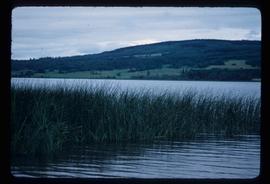
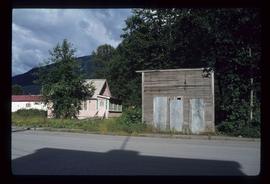
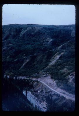
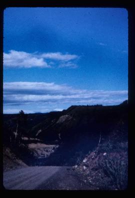
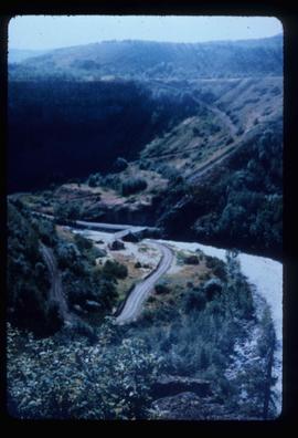
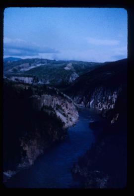
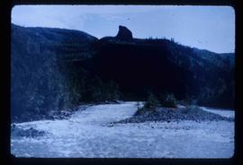
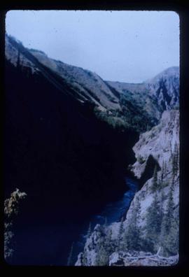
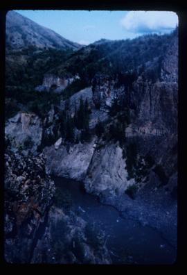
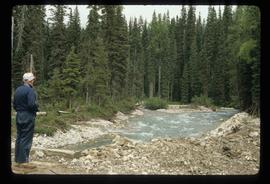
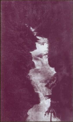
2012.13.1.76.16
·
Item
·
Sep. 1979
Parte de J. Kent Sedgwick fonds
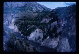
Image depicts a rail road bridge located somewhere near Terrace, B.C.