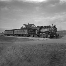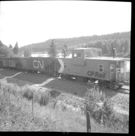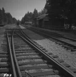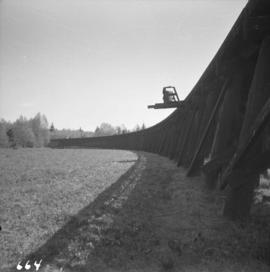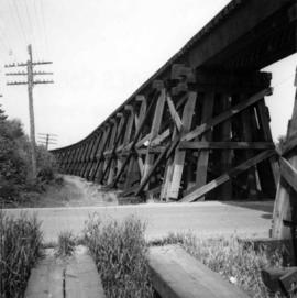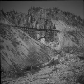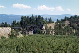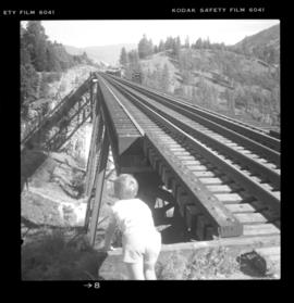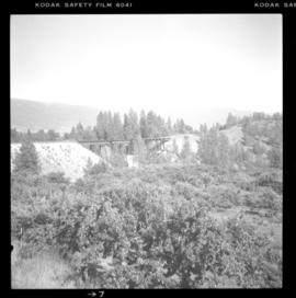
2013.6.36.1.007.015
·
Item
·
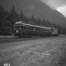
Aug. 1964
Part of David Davies Railway Collection
Photograph depicts a train car backing up on the west side of the C.N. station in Hope. It is part of the West Coast Railway Association trip on August 8, 1964.