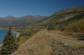
2006.18.6.02.02
·
Item
·
[1963?]
Parte de Aleza Lake Research Forest Society fonds
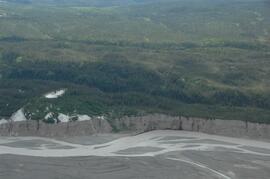
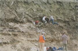
Slide depicts a heavily forested area with fallen logs, likely at the Aleza Lake Experiment Station.