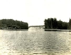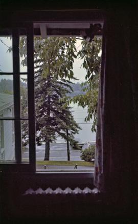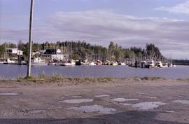
2009.6.13.49.1155
·
Item
·
28 May 1978
Part of The Honourable Iona Campagnolo fonds
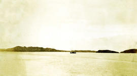
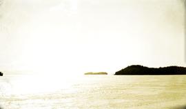
Photograph depicts a view of fishing boats at Masset.