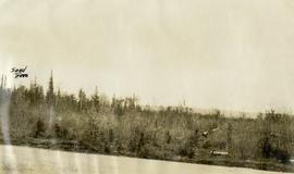
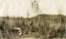
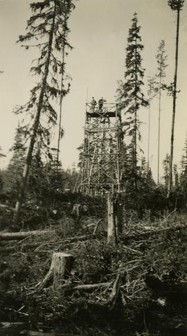
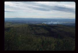
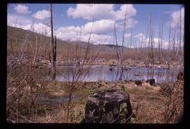
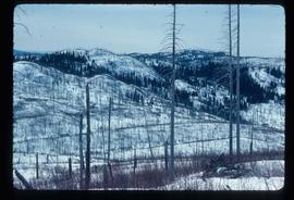
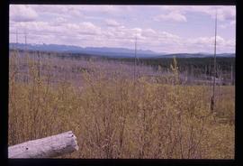
Original photographic print included in "Northern Interior Forest Experiment Station: Report of Preliminary Investigations" by Percy Barr.
Original photographic print included in "Northern Interior Forest Experiment Station: Report of Preliminary Investigations" by Percy Barr.
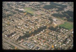
Image depicts a Lakewood view of Spruceland in Prince George, B.C.
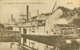
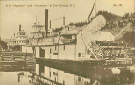
Postcard photograph depicts two sternwheelers in dock. Group of men can be seen standing on dock. Steep banks of opposite shore visible in background.
Printed annotation on recto reads: “S.S. “Operator” and “Conveyer” at Fort George, B.C. No. 107.”
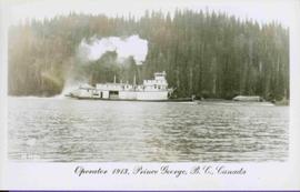
Postcard photograph depicts sternwheeler in river, trees on opposite shore in background.
Printed annotation on recto reads: “Operator 1913, Prince George, B.C. Canada”, handwritten in pencil on verso: “Operator 1913”.
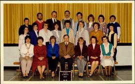
Photograph depicts group of 23 men and women posed for photo in gymnasium. Plaque in foreground reads "QUINSON ELEMENTARY STAFF 1985 86". Bridget Moran stands third from left in middle row.
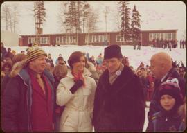
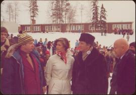
Long building in background.
Handwritten annotation on verso reads: “with Pierre T + Rob B at P. George, winter 78”.
Handwritten annotation on verso reads: “Northern BC Winter Games ’77 Prince George”.
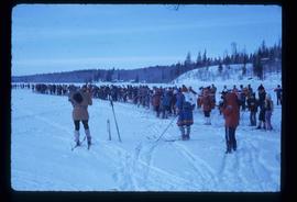
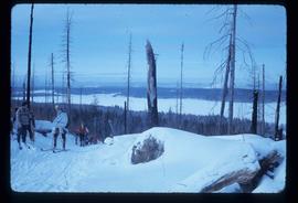
Image depicts a long line of people cross country skiing along the Birchleg route on Tabor Mountain in Prince George, B.C.
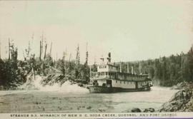
Stern wheeler in river. Printed annotation on recto reads: “Steamer B.X. Monarch of New B.C. Soda Creek, Quesnel and Fort George”
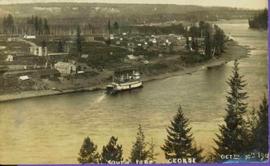
Postcard photograph depicts lofty view of sternwheeler in river. Scattered buildings and tents in background, river and shore in foreground. Printed annotation on recto reads: “South Fort George Oct 30th 1910”
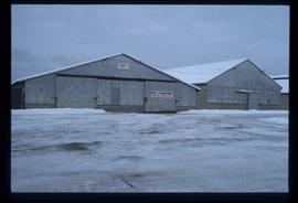
Image depicts a few storage sheds somewhere in Prince George, B.C.
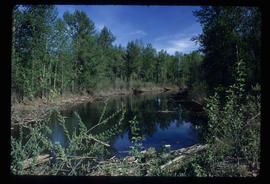
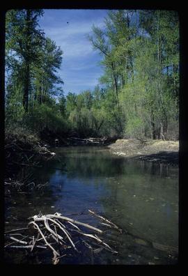
Image depicts a small stream somewhere on Cottonwood Island.
Image depicts a small stream somewhere on Cottonwood Island.
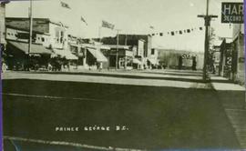
Street scene in Prince George B.C. Several Union Jack flags are visible and there is a celebration banner at the end of the street. Long shadows in photo indicate summer (perhaps Dominion Day?). River in foreground, railroad and city in mid ground and hill in background. Printed annotation on recto reads: “Prince George. B.C.”
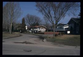
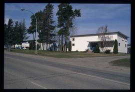
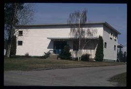
Image depicts a street of houses somewhere in Prince George, B.C.
Image depicts Studio 2880 Arts Complex in Prince George, B.C. Map coordinates 53°54'36.9"N 122°46'30.3"W
Image depicts a building which is a part of the Studio 2880 Arts Complex on 15th Avenue in Prince George, B.C.
Photograph depicts a view of a lake from a row boat. The back of one male boat passenger and oars are in the foreground.
Photograph depicts seven or more men relaxing near a canvas tent. Some of the men appear to be whittling wood. Long underwear dry on a tent rope and wood smoke drifts past the men and tent to the forest behind.
Photograph depicts two surveyors (Jack Lee, Gordon Wyness, or Philip Monckton) taking bearings from Pineview Station tower east of Prince George. Their surveying transit and telescope are visible in the image.
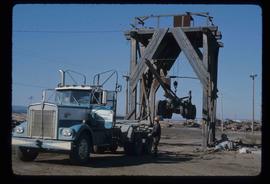
Image depicts a trailer for a logging truck suspended off the ground by a wooden structure. This is used to load the trailer onto the back of the truck. The name on the truck says "Rormarniewich Trucking Ltd."
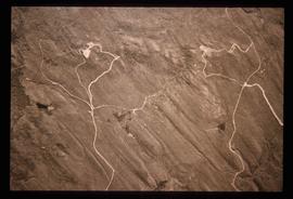
Image depicts grooves on Tabor Mountain in Prince George, B.C.
Image depicts grooving on Tabor Mountain in Prince George, B.C.
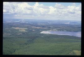
Image depicts a view of Tabor Lake.
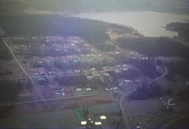
Image depicts the Tabor Lake Subdivision in Prince George, B.C.
Image depicts a view of the area around Tabor Mountain in Prince George, B.C.
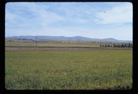
Image depicts Tabor Mountain in the distance, located in Prince George, B.C.
Image depicts a view of the area around Tabor Mountain in Prince George, B.C.
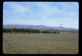
Image depicts Tabor Mountain from the airport in Prince George, B.C.
Image depicts a view of Prince George, from Gunn Point in the L.C. Gunn Park.
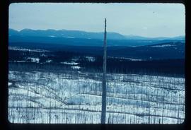
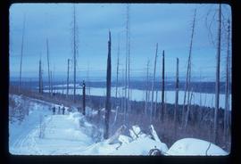
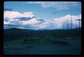
Image depicts a forest of dead trees on the slopes of Tabor Mountain in Prince George, B.C.
Image depicts a forest of dead trees on the slopes of Tabor Mountain in Prince George, B.C.
Image depicts a forest of dead trees on the slopes of Tabor Mountain in Prince George, B.C.
Image depicts a view of Tabor Mountain in Prince George, B.C.
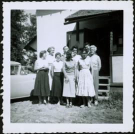
Back, left to right: Ellen (nee Taylor) and husband Percy Garland, Joan Graves (daughter of Lucy Taylor), Dick Baxter (son of Violet), Violet (nee Taylor) Baxter. Front, left to right: [unknown], Margret Baxter (wife of Alan Baxter), Judy Taylor (daughter of Arthur Taylor), Edna Roth (daughter of Violet).
Photograph taken on Ross Crescent, Prince George, at the home of Violet Baxter. Car and trees in background.
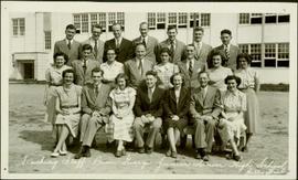
Item is a photograph of Mr. Williston with the teaching staff of the Prince George Junior Senior High School in 1946. Mr. Williston is seated front row centre.
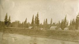
Photograph depicts a small cluster of buildings near the river bank.
Stern wheelers “Operator” and “Conveyor” in dock. Printed annotation on recto reads: “S.S. “Operator” and “Conveyer” at Fort George, B.C. No. 107.”
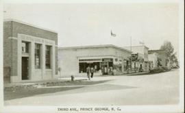
Photo depicts a street perspective of Third Ave., in Prince George, BC, ca. 1950. Handwritten annotation in pen on verso of postcard reads: “You will undoubtedly notice that there are no tall buildings. I don’t think that there is one building in Prince George that is even five stories tall.”
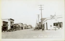
Street level photo of Third Avenue in Prince George. Visible businesses include "Cut Rate Grocery" and "C.N.R. Cafe." Printed annotation on recto reads: "3rd Ave. Prince George."
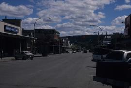
Image depicts 3rd Ave in Prince George, B.C. Map coordinates 53°55'01.9"N 122°44'48.7"W
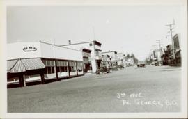
Photograph taken from the intersection of 3rd Avenue and an unidentified street. Visible businesses include "Ben Baird The Smart Shop" and "C.N.R. Cafe." Printed annotation on recto reads: "3rd Ave. PR. George, B.C."
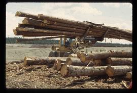
Image depicts a tractor with a claw lifting logs at a saw mill in Prince George, B.C.
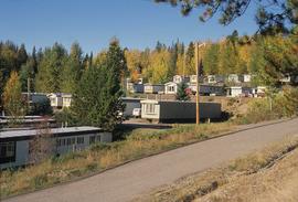
Image depicts trailer homes in Prince George, B.C.
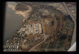
Image depicts a trailer park by either the Fraser or Nechako River in Prince George, B.C.
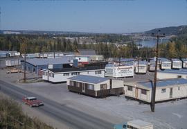
Image depicts mobile homes for sale on Cowart Road looking northeast with Simon Fraser Bridge in background. Map coordinates 53°52'39.3"N 122°46'13.1"W
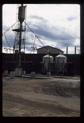
Image depicts what is possibly a train fuelling station at the GTP Roundhouse in Prince George, B.C.
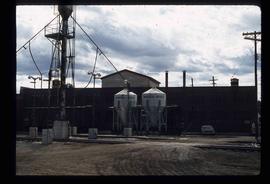
Image depicts what is possibly a train fuelling station at the GTP Roundhouse in Prince George, B.C.
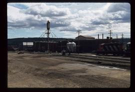
Image depicts what is possibly a train fueling station at the GTP Roundhouse in Prince George, B.C.
