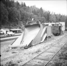
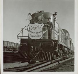
2012.13.1.7.207
·
Item
·
Nov. 2000
Parte de J. Kent Sedgwick fonds
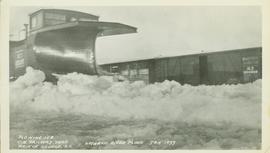
Image depicts a sawmill in Prince George, B.C.