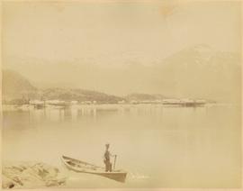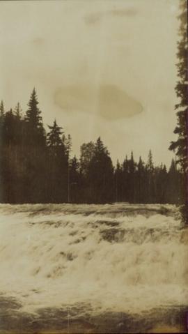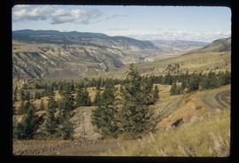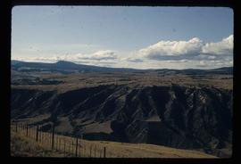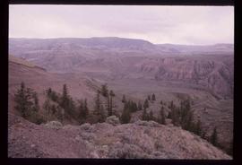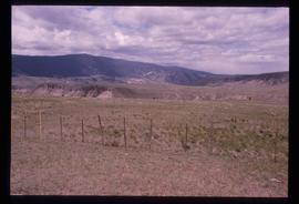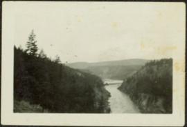
2009.5.2.96
·
Item
·
[ca. 1930?]
Parte de Taylor-Baxter Family Photograph Collection
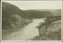
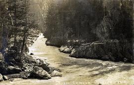
Photograph depicts river winding between steep hills, trees in foreground.