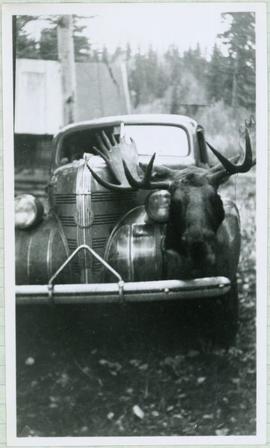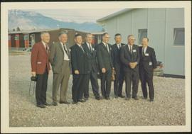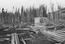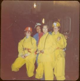
2009.6.1.175
·
Item
·
1977
Parte de The Honourable Iona Campagnolo fonds
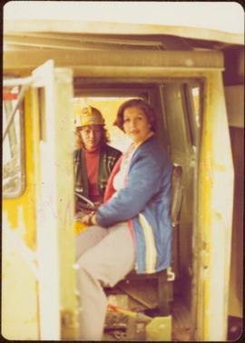
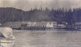
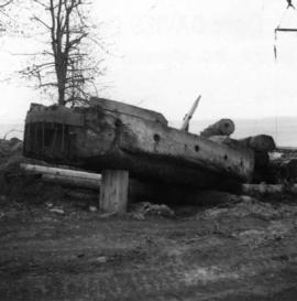
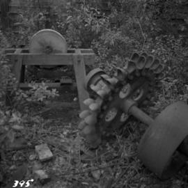
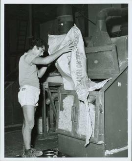
Machinery visible in background.
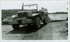
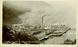
Handwritten annotation on verso reads: “John Lundquist, Mary Schindel”.