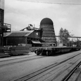
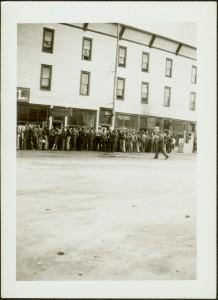
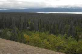
2012.13.1.55.02
·
Item
·
1971
Parte de J. Kent Sedgwick fonds
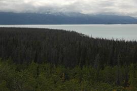
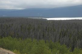
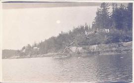
Image depicts the canoe group preparing to canoe on Beaver Pond, which is the start of Kibbee Lake.