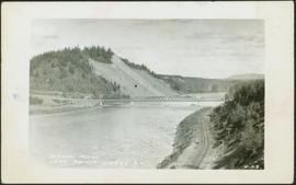
2012.13.1.3.019
·
Item
·
Oct. 1975
Parte de J. Kent Sedgwick fonds
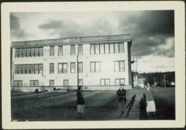
Image depicts the Pearson Homestead.