2021.06.017
·
Item
·
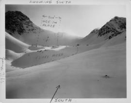
[July 1930]
Parte de Emil Bronlund Photograph Collection
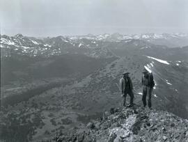
Photograph depicts two men (Bill McPhee and Shorty Weber) standing at the summit of Copper Mountain with a snowy mountain range visible in the background of the image.