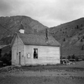
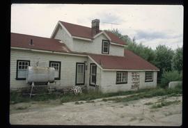
Photograph depicts the United Church at Spences Bridge in the Fraser Canyon. The church is on the flats on the west side of the river and close to the C.N. depot.
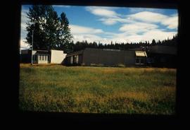
This item is a photograph of the backside of the United Way building in Prince George in 2006. The Coast Hotel can be seen in the background.
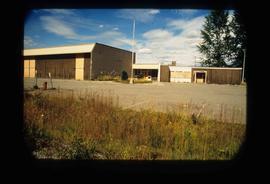
This item is a photograph of the United Way building on the corner of 7th Avenue and Quebec Street, Prince George. The Telus building can be seen in the background.
This item is a photograph of the United Way building on the corner of 7th Avenue and Quebec Street, Prince George. The Telus building can be seen in the background.
The item is a photograph negative depicting the back exterior of a beige townhome complex. There is snow on the townhome and ground with a wooden fence around the townhouse.
The item is a photograph negative depicting the back exterior of a beige townhome complex. There is snow on the townhome and ground with a wooden fence around the townhouse.
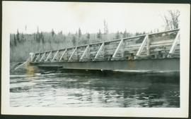
Photograph depicts bridge over water, trees on opposite shore in background.
Photograph depicts an unknown building in B.C.
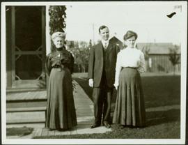
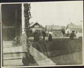
Photograph depicts a man and woman standing beside an elderly woman on wood boardwalk near front porch. Neighbouring yards in background.
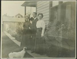
Photograph depicts a man and woman standing beside an elderly woman on grass lawn. Wood boardwalk runs beside house, steps and porch featured on left. A jack russell terrier stands at their feet. Neighbouring yards in background.
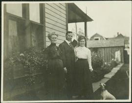
Photograph depicts a man and woman standing beside an elderly woman on wood boardwalk near front porch. Window plants hang beside them and a jack russell terrier sits at their feet. Neighbouring yards in background.
Photograph depicts a man and woman standing beside an elderly woman on boardwalk running alongside house. Window plants in foreground, neighbouring yards in background. A jack russell terrier stands in left foreground.
Photograph depicts a woman, man, and young girl standing near hedges. Unidentified building in background, featuring window.
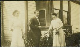
Photograph depicts a woman, man, and young girl standing near hedges. Woman on right holds a bouquet of flowers. Unidentified building in background, featuring window.
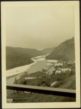
Photograph depicts town buildings and church on shore to right of river winding through hills. Metal bar speculated to be part of a bridge crosses foreground.
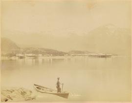
Buildings and harbour visible across water. Unknown man stands in a small boat in foreground, mountains visible in background.
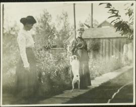
Photograph depicts two women standing on wood boardwalk with a jack russell terrier. Bushes and neighbouring yards in background.
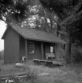
Photograph depicts the unused C.P.R. Shawnigan Lake section house on the Esquimalt and Nanaimo Railway. It is 27.8 miles outside Victoria.
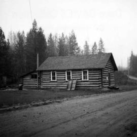
Photograph depicts the Upper Clearwater Hall on a dirt road between Clearwater (70 miles north of Kamloops) and the entrance to Wells Gray Provincial Park. The cracks between the logs recently re-cemented.
Image depicts a house in Upper Fraser with the residential area in the background. Map coordinates 54°07'02.8"N 121°56'37.5"W
Image depicts Upper Fraser Elementary School, after closure of town site. Map coordinates 54°06'54.4"N 121°56'16.6"W
Image depicts Upper Fraser Elementary School, after closure of town site. Map coordinates 54°06'54.4"N 121°56'16.6"W
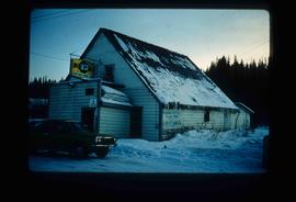
Image depicts the Upper Fraser General Store in Upper Fraser, B.C. Two other signs indicate that it is also a post office and a place that offers propane refills. Map coordinates 54°07'10.8"N 121°56'51.7"W
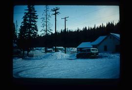
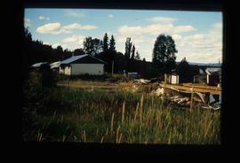
Image depicts several houses, likely in Upper Fraser, B.C.
Image depicts entrance to mill yard for Upper Fraser mill in Upper Fraser, B.C. Map coordinates 54°07'10.8"N 121°56'51.7"W
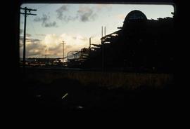
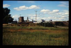
Image depicts Upper Fraser mill yard with log deck and beehive burner in silhouette across railroad tracks. Located in Upper Fraser, B.C. Map coordinates 54°07'01.5"N 121°56'29.6"W
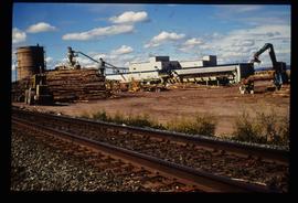
Image depicts numerous log decks at the Upper Fraser sawmill. Map coordinates 54°07'10.8"N 121°56'51.7"W
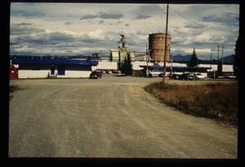
Image depicts the entrance to the Upper Fraser mill yard in Upper Fraser, B.C. Map coordinates 54°07'10.8"N 121°56'51.7"W
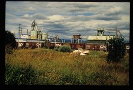
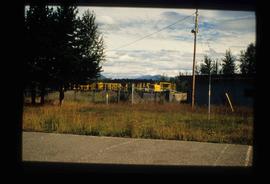
Image depicts the Upper Fraser mill yard with a CN train in Upper Fraser, B.C. Map coordinates 54°07'10.8"N 121°56'51.7"W
Image depicts the entrance to the Upper Fraser mill yard in Upper Fraser, B.C. Map coordinates 54°07'10.8"N 121°56'51.7"W
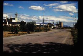
Image depicts the Upper Fraser Road running through Upper Fraser, B.C. A newer style round burner is seen in the background. Map coordinates 54°07'05.7"N 121°56'38.9"W
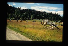
Image depicts Upper Fraser town site playground, after closure of town site. Map coordinates 54°07'01.4"N 121°56'29.9"W
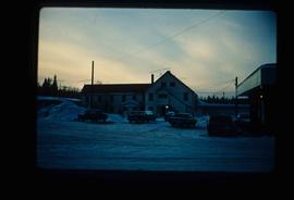
Image depicts an older building with numerous vehicles parked out front in Upper Fraser, B.C. Map coordinates 54°07'03.5"N 121°56'34.4"W
Image depicts houses in the Upper Fraser residential area during demolition of town site. Map coordinates 54°06'51.6"N 121°56'26.3"W
Image depicts the Upper Fraser Road running through Upper Fraser, B.C. A beehive burner is seen in the background on the left and the mill office is seen on the right. Map coordinates 54°07'05.7"N 121°56'38.9"W
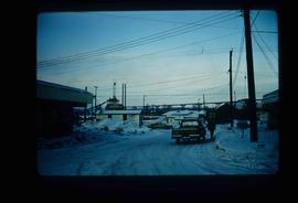
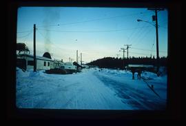
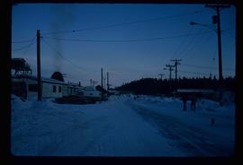
Image depicts several unidentified individuals walking along the snow-covered Upper Fraser Road with numerous buildings on either side. Map coordinates 54°07'05.7"N 121°56'38.9"W
Image depicts the sewage treatment plant in Upper Fraser, B.C. after the closure of the town site. Map coordinates 54°06'51.6"N 121°56'10.2"W
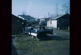
Image depicts a damaged, upturned car in Island Cache.
The item is a photograph of a utility trailer and parking lot on 3rd Avenue in Prince George. Trailer is from GE Capital Modular Space with a sign stating "Third Ave. Revitalization : Surface Demolition and Removal of Canopies"
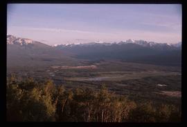
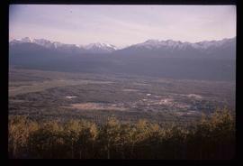
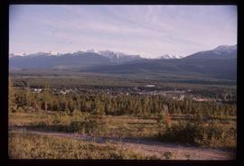
Image depicts a view of Valemount, with numerous mountains in the background.
Image depicts a view of Valemount with numerous mountains in the background.
Image depicts a view of Valemount with numerous mountains in the background.
Image depicts the Valemount CN Station.
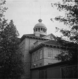
Photograph depicts Vancouver City College, formerly King Edward Secondary School.
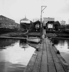
Photograph depicts the Vancouver Shipyards Ltd. on 555 Denman St. in Vancouver, B.C., looking south from Coal Harbour waters.
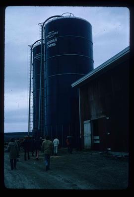
Image depicts a barn with large, Harvestore Systems. It is possibly located on one of the many farms near Vanderhoof, B.C.
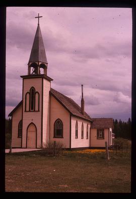
Image depicts a Catholic Church on Stoney Creek Road in Vanderhoof, B.C.
Blueprint to the Carrier Communication Centre in Vanderhoof depicts first floor floor plan which includes: lobby, library, sitting areas, and the main meeting and gathering place which has a fire pit in the middle.
Blueprint to the Carrier Communication Centre in Vanderhoof depicts third story floor plan which includes: office spaces, lunch room, kitchen, and accommodation rooms.
Blueprint to the Carrier Communication Centre in Vanderhoof depicts second story floor plan which includes: pool room, hobby rooms, and large game dance room.
