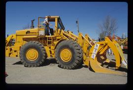
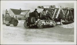
Image depicts an unidentified individual examining a piece of heavy machinery used in the forestry industry. It is located in Prince George, B.C.
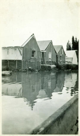
Photograph depicts lane in front of tent buildings flooded with water, forest trees in background. Photograph taken from canoe, portion of canoe visible in foreground. It is believed that this photograph may depict the Island Cache in flood, at Prince George, BC.
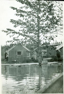
Photograph depicts lane in front of tent buildings flooded with water. Tree in midground, forest trees in background. A man can be seen between first and second row of tent buildings. Photograph taken from canoe, portion of canoe visible in right foreground. It is believed that this photograph may depict the Island Cache in flood, at Prince George, BC.
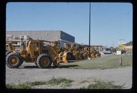
Image depicts numerous tractors at Finning Tractor and Equipment Co. Ltd. located along Highway 97 in Prince George, B.C.
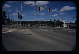
Image depicts the intersection of 5th Ave and Highway 97 looking northeast. Map coordinates 53°55'14.0"N 122°46'54.8"W
Photograph taken on a 40 ft. high embankment. Looking towards Fraser River. Northwood Pulp and Timber Ltd. in western direction. All trackage owned and built by the mill. Constructed in 1966.
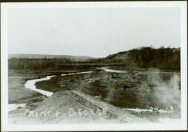
Early spring landscape with roadbed and track in foreground, river in midground, and hill in background.
Handwritten annotation on recto: “PRINCE GEORGE 4-20-13”.
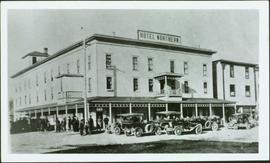
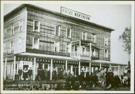
Photograph depicts hotel on corner of street, crowd and cars in foreground.
Handwritten annotation on verso “Albert Johnson’s 'Northern Hotel' South Fort George 1914".
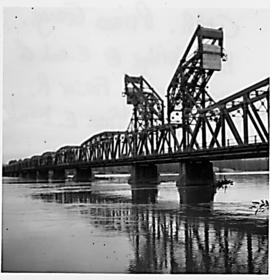
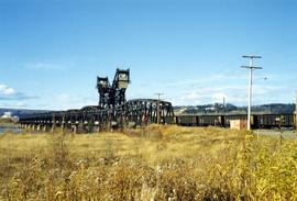
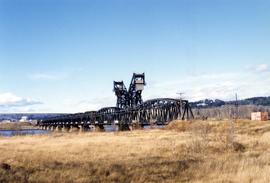
Photograph depicts a bridge at the east end of the CNR yards in Prince George, crossing the Fraser River.
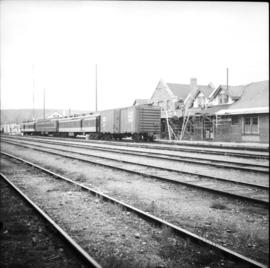
Photograph depicts the CNR depot in Prince George. To the right area of the photograph lay the downtown area of the city.
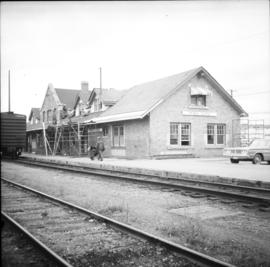
Photograph depicts the CNR depot. Considerable renovation work was taking place on both sides of the building and in the interior nearest to the camera.
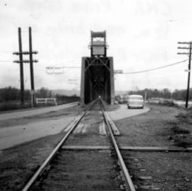
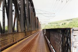
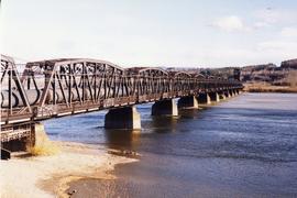
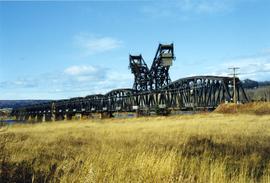
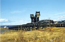
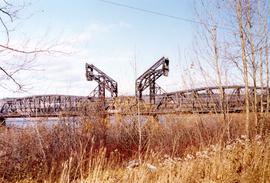
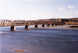
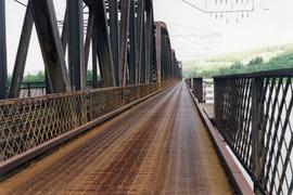
Photograph depicts a rail bridge over the Fraser River. Canter levelled on both sides were vehicle roadways which ceased to be used in 1987 when a new road bridge was supposed to be completed. The right lane took cars into the city of Prince George.
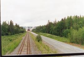
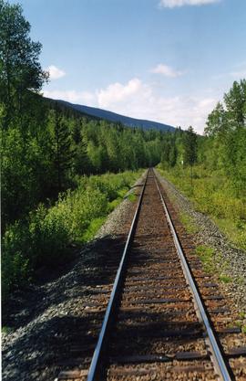
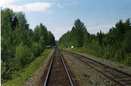
Photograph taken somewhere between Endako and Prince George, Nechako Subdivision.
Photograph taken somewhere between Prince George and McBride.
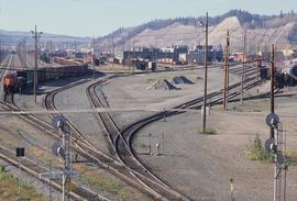
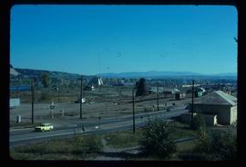
Image depicts a number of trains in the CNR train yard taken from River Road in Prince George, B.C. Map coordinates 53°54'51.5"N 122°43'29.6"W
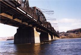
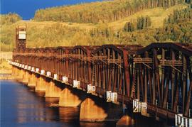
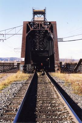
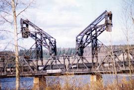
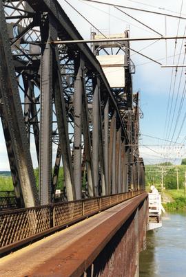
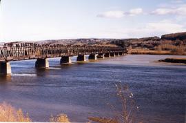
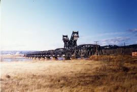
Photograph depicts a CN bridge crossing over the Fraser River. Built by Grand Trunk Pacific Railway in 1914.
Photograph depicts a CN bridge crossing over the Fraser River. Built by Grand Trunk Pacific Railway in 1914.
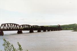
Photograph depicts a CN bridge crossing over the Fraser River.
Photograph depicts a CN bridge crossing over the Fraser River. Built by Grand Trunk Pacific Railway in 1914.
Photograph depicts a CN bridge crossing over the Fraser River.
Photograph depicts a CN bridge crossing over the Fraser River.
Photograph depicts a CN bridge crossing over the Fraser River.
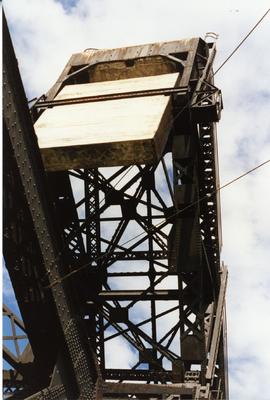
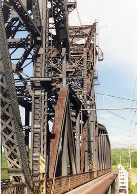
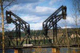
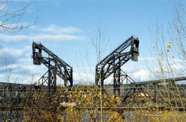
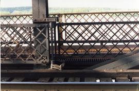
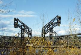
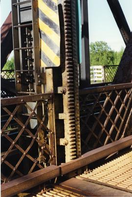
Photograph depicts a CN bridge crossing over the Fraser River. Details of the draw span captured.
Photograph depicts a CN bridge crossing over the Fraser River.
Photograph depicts a print taken fron a slide supplied by a professional photographer, Al Harvey. Captures a CN bridge crossing over the Fraser River.
Photograph depicts a CN bridge crossing over the Fraser River. It used to be a public roadway for eastbond traffic only.
Photograph depicts a CN bridge crossing over the Fraser River. Built by Grand Trunk Pacific Railway in 1914.
Photograph depicts a CN bridge crossing over the Fraser River. Built by Grand Trunk Pacific Railway in 1914.
Photograph depicts a CN bridge crossing over the Fraser River.
Photograph depicts a CN bridge crossing over the Fraser River.
Photograph depicts a CN bridge crossing over the Fraser River.
Photograph depicts a CN bridge crossing over the Fraser River.
Photograph depicts a CN bridge crossing over the Fraser River.
Photograph depicts a CN bridge crossing over the Fraser River.
Photograph depicts a CN bridge crossing over the Fraser River. Built by Grand Trunk Pacific Railway in 1914.
Photograph depicts a CN bridge crossing over the Fraser River.
Photograph depicts a CN bridge crossing over the Fraser River. Details of the draw span captured.
Photograph depicts a CN bridge crossing over the Fraser River. Built by Grand Trunk Pacific Railway in 1914.
Photograph depicts a CN bridge crossing over the Fraser River.
Photograph depicts a CN bridge crossing over the Fraser River.
Photograph depicts a CN bridge crossing over the Fraser River.
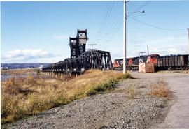
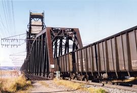
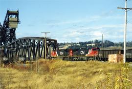
Photograph depicts a loaded coal train en rout to Prince Rupert travelling on a CN bridge that crossed over the Fraser River.
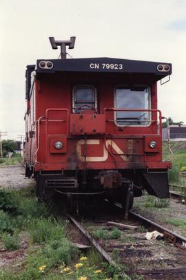
Photograph depicts a CN caboose. Possibly taken in Prince George.
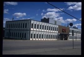
Image depicts the CN Building in Prince George, B.C.
Image depicts a highway, and a section of mountain in the background which is bare due to clear-cut logging. It is possibly somewhere near Prince George, B.C.
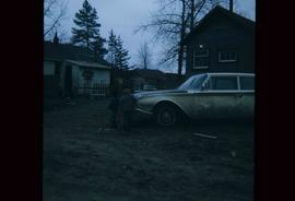
Image depicts two children standing near an old car in Island Cache.
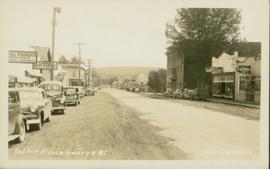
Photo depicts a street perspective cars lining Third Avenue, in Prince George, BC, ca. 1950. Annotation recto reads: "3rd Ave Prince George BC Photo J. Wrathall." Handwritten annotation in pen on verso of postcard reads: “This is the equivalent of our Granville Street. Both theatres are located here as well as Hudson Bay Co., banks, library & stores.”
Photograph depicts large crowd gathered in front of three story building.
Printed annotation on recto of photograph: "CARIBOO STAGE AT SOUTH FT. GEORGE B.C. OCT 19 -1911".
Image depicts the Canadian National Railway Yards in Prince George, B.C.
Photograph depicts man believed to be Bob Baxter on bulldozer by large framework structure in snow. House stands in background as well as a truck with "CITY OF PRINCE GEORGE" visible on its passenger door. Handwritten annotation on recto of photograph: "Civic centre 1948."
