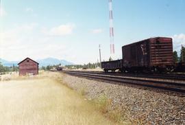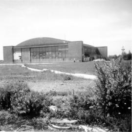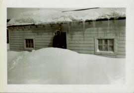
2013.6.36.1.152.03
·
Item
·
Sept. 2000
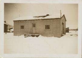
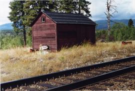
Parte de David Davies Railway Collection
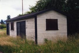
Photograph depicts a disused tool house in Wasa, at the CPR Windermere Subdivision. Davies notes the structure was rarely seen at the time the photograph was taken.