Mostrando 811 resultados
Archival description
Remove filter:
Dr. Paul Sanborn fonds
Remove filter:
Item
Remove filter:
Science and Technology
Remove filter:
Inglés
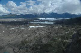
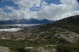
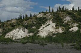
Debris-covered terminus of Klutlan Glacier
Debris-covered terminus of Klutlan Glacier
Debris-covered terminus of Klutlan Glacier
Debris-covered terminus of Klutlan Glacier
Debris-covered terminus of Klutlan Glacier
Debris-covered terminus of Klutlan Glacier
Debris-covered terminus of Klutlan Glacier
Debris-covered terminus of Klutlan Glacier
Debris-covered terminus of Klutlan Glacier, near landing spot
Descriptions and Properties of Riparian Paleosols, Gold Bottom, Yukon Territory
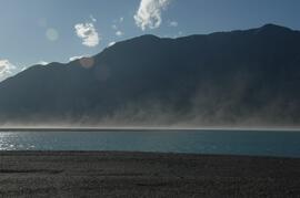
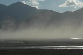
Dust storm over Slims River delta
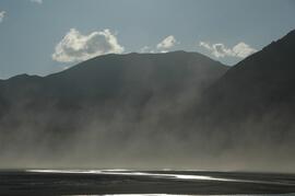
Dust storm over Slims River delta
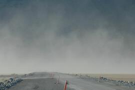
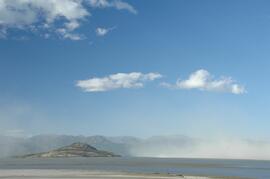
Dust storm over Slims River, obscuring Alaska Highway
Dust storm over Slims River, upstream of Alaska Highway
Dust storm over Slims River, upstream of Alaska Highway

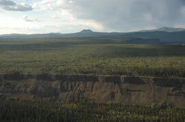
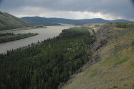
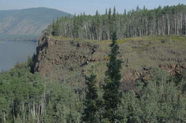
Early Pleistocene basalt cliffs on the north side of the Yukon River
Early Pleistocene basalt cliffs on the north side of the Yukon River
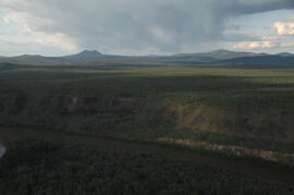
Early Pleistocene basalt cliffs on the north side of the Yukon River
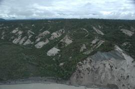
East of Camp 1, facing west down the Yukon River
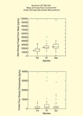
EP 660 Buckhorn 1997 forest floor graphs
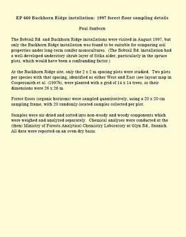
EP 660 Buckhorn Ridge installation: 1997 forest floor sampling details
Extension Note 71: "Sulphur deficiencies in lodgepole pine: occurrence, diagnosis, and treatment"
Facing southwest toward Leech Lake and the Holocene basalt flow south of Mountain
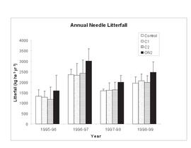
Figures for "Litterfall in a lodgepole pine fertilization experiment, Sub-Boreal Spruce zone, central interior British Columbia"
"Final Report on Seed Project: Plant-Derived Opal as a Soil Indicator of Vegetation Change in Response to Prescribed Burning - Project M-K-2001-2002-81"

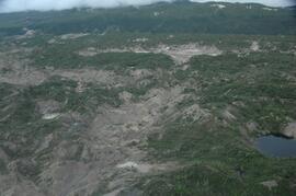
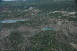
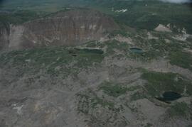
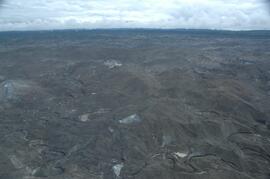
Flight between Camp 2 and Camp 3

Flight between Camp 2 and Camp 3

Flight between Camp 2 and Camp 3
Flight between Camp 2 and Camp 3
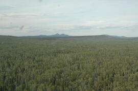
Flight between Camp 2 and Camp 3
"Forest Floor Development on Bladed Trails in the SBS: A retrospective study of the Archie Creek site"
"Forest Floor Development on Bladed Trails in the SBS: A retrospective study of the Archie Creek site"

Forest Research Note #PG-12: "Experimental Project 660 - Overview of Three Experimental Installations - A 30-year Progress Report"

Forest Research Note #PG-12-1: "Experimental Project 660 - 30-year Progress Report - Buckhorn Installation"

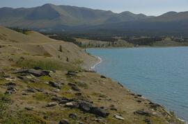
Forest-grassland mosaic, southeast side of Kluane Lake (north of Christmas Bay)

Forest-grassland mosaic, southeast side of Kluane Lake (north of Christmas Bay)
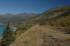
Forest-grassland mosaic, southeast side of Kluane Lake (south of Cultus Bay)
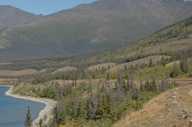
Forest-grassland mosaic, southeast side of Kluane Lake (south of Cultus Bay)
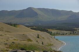
Forest-grassland mosaic, southeast side of Kluane Lake (south of Cultus Bay)
Forest-grassland mosaic, southeast side of Kluane Lake (south of Cultus Bay)
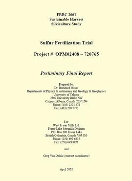
"FRBC 2001 Sustainable Harvest Silviculture Study - Sulfur Fertilization Trial - Project# OPM 02408-720765 - Preliminary Final Report"
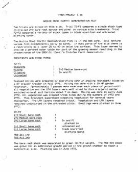
"FRDA Project 1.16 - Archie Road (North) Demonstration Plot"
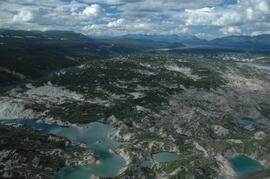
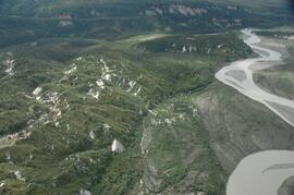
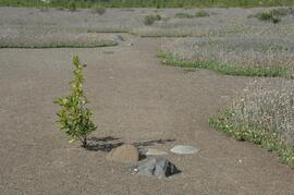
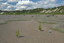
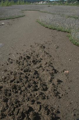
Generc River floodplain near landing spot
Generc River floodplain near landing spot
Generc River floodplain near landing spot
Generc River floodplain near landing spot
Generc River floodplain near landing spot
Generc River floodplain near landing spot
Generc River floodplain near landing spot
Generc River floodplain near landing spot
Generc River floodplain near landing spot