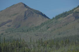
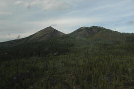
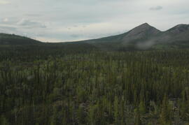
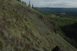
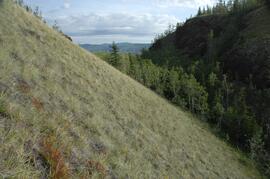
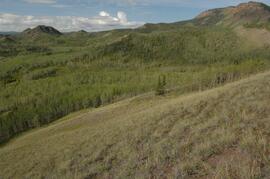
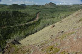
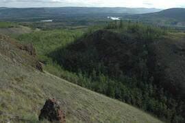
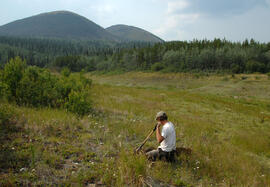
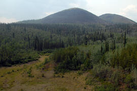
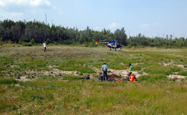
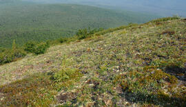
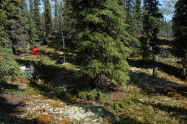
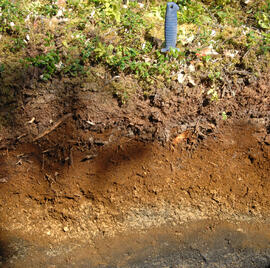
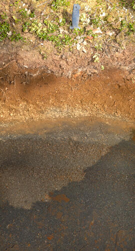
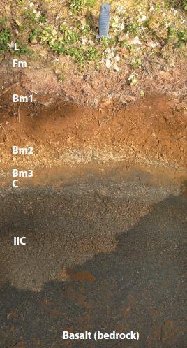
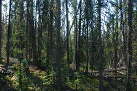
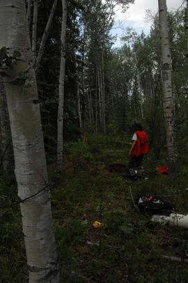
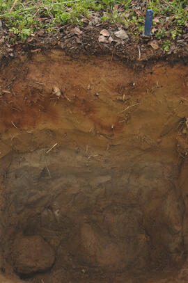
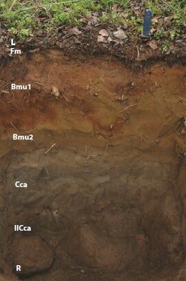
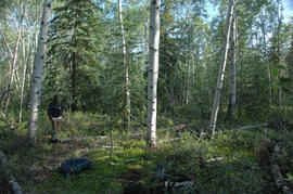
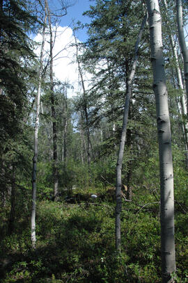
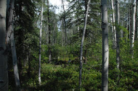
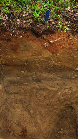
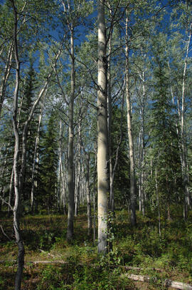
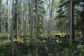
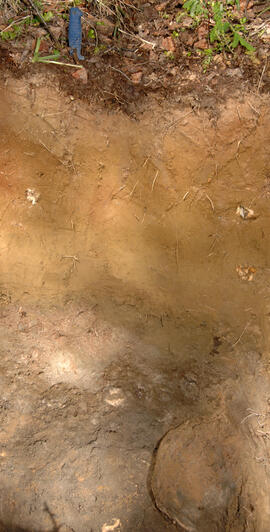
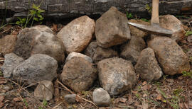
Document is a BC Ministry of Forests update on proposed research for the Sulphur stable isotope tracer study (E.P. 886.15) from March 1998.
This "Soil Profile Description: Kiskatinaw LTSP Site" document provides a description of Kiskatinaw pedon.
The key results from the regional soil mineralogy study were later published as:
J.M. Arocena and P. Sanborn. 1999. Mineralogy and genesis of selected soils and their implications for forest management in central and northeastern British Columbia. Canadian Journal of Soil Science 79: 571-592. https://doi.org/10.4141/S98-07
This image appears as Figure 8 in the publication:
Sanborn, P., 2010. Soil reconnaissance of the Fort Selkirk volcanic field, Yukon (115I/13 and 14).
In: Yukon Exploration and Geology 2009, K.E. MacFarlane, L.H. Weston and L.R. Blackburn
(eds.), Yukon Geological Survey, Whitehorse, Yukon. pp. 293-304. https://emrlibrary.gov.yk.ca/ygs/yeg/2009/2009_p293-304.pdf
This image appears as Figure 9 in the publication:
Sanborn, P., 2010. Soil reconnaissance of the Fort Selkirk volcanic field, Yukon (115I/13 and 14).
In: Yukon Exploration and Geology 2009, K.E. MacFarlane, L.H. Weston and L.R. Blackburn
(eds.), Yukon Geological Survey, Whitehorse, Yukon. pp. 293-304. https://emrlibrary.gov.yk.ca/ygs/yeg/2009/2009_p293-304.pdf
This image appears as Figure 11 in the publication:
Sanborn, P., 2010. Soil reconnaissance of the Fort Selkirk volcanic field, Yukon (115I/13 and 14).
In: Yukon Exploration and Geology 2009, K.E. MacFarlane, L.H. Weston and L.R. Blackburn
(eds.), Yukon Geological Survey, Whitehorse, Yukon. pp. 293-304. https://emrlibrary.gov.yk.ca/ygs/yeg/2009/2009_p293-304.pdf
This image appears as Figure 4 in the publication:
Sanborn, P., 2010. Soil reconnaissance of the Fort Selkirk volcanic field, Yukon (115I/13 and 14).
In: Yukon Exploration and Geology 2009, K.E. MacFarlane, L.H. Weston and L.R. Blackburn
(eds.), Yukon Geological Survey, Whitehorse, Yukon. pp. 293-304. https://emrlibrary.gov.yk.ca/ygs/yeg/2009/2009_p293-304.pdf