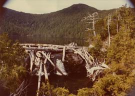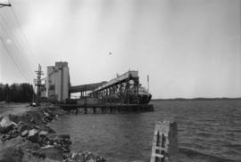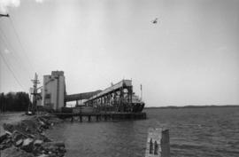
2009.6.13.49.0203
·
Pièce
·
[between 1974 and 1979] photographed 1973
Fait partie de The Honourable Iona Campagnolo fonds
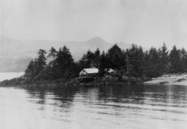
Photograph depicts the Queen Charlotte Islands museum site overlooking Skidegate Inlet and next to a gravel beach.