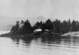
Photograph depicts the Queen Charlotte Islands museum site overlooking Skidegate Inlet and next to a gravel beach.
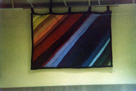
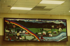
Photograph depicts a quilted tapestry entitled "Rainbow" for Project Mobilization under project manager N. McCreary.This tapestry was on display at the Queen Charlotte City community hall.
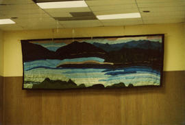
Photograph depicts a quilted tapestry of a Queen Charlotte Island maritime scene entitled "Natures Panorama" for Project Mobilization under project manager N. McCreary.This tapestry was on display at the Queen Charlotte City community hall.
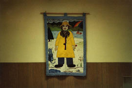
Photograph depicts a quilted tapestry entitled "Girl on Beach" for Project Mobilization under project manager N. McCreary.This tapestry was on display at the Queen Charlotte City community hall.
Photograph depicts a quilted tapestry of Queen Charlotte City entitled "Community Panorama" for Project Mobilization under project manager N. McCreary.This tapestry was on display at the Queen Charlotte City community hall.
Photograph depicts a quilted tapestry entitled "Boy on Beach" for Project Mobilization under project manager N. McCreary.This tapestry was on display at the Queen Charlotte City community hall.
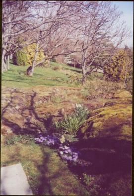
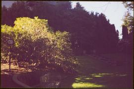
Photograph taken at Government House, Victoria, B.C.
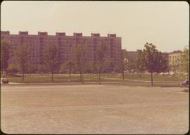
Photograph taken during European Sports Tour with Team Canada.
Whiteprint drawing of floor plan for track and field gymnasium. There is also a section drawing and perspective view.
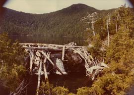
Photograph depicts the proposed site for a hydro power project on Klemtu Lake with rock sill outlet to creek.
Blueprint showing plan for proposed railway crossing and road in Fraser Lake, B.C. Property lines are shown, as well as a detail of the road curve.
Drawing of floor plans for Native Centre in Terrace B.C. Three sketches depict lower floor plan, main floor plan, and upper floor plan.
Map depicts the proposed electoral districts of British Columbia, including: Burnaby, Capilano, Cariboo-Chilcotin, Comox-Powell River, Cowichan-Malahat-The Islands, Esquimalt-Saanich, Fort Nelson-Peace River, Fraser Valley East, Fraser Valley West, Kamloops-Shuswap, Kootenay East, Kootenay West, Mission-Port Moody, Nanaimo-Alberni, New Westminster-Coquitlam, North Vancouver-Burnaby, Okanagan North, Okanagan-Similkameen, Prince George-Bulkley Valley, Richmond-South Delta, Skeena, Surrey-White Rock-North Delta, Vancouver Centre, Vancouver East, Vancouver Kingsway, Vancouver Quadra, Vancouver South, and Victoria.
Site plan for proposed family recreational complex in Whitehorse depicts the proposed buildings and the primary access route through the subdivision to the complex. This plan was included in the "Pre-design report of Family Recreation Complex of Whitehorse."
Drawing is the third of five that depict the proposed family recreation complex in Whitehorse. This drawing shows proposed elevations and includes two sketches, one of the Northeast elevation and the other of the Southeast elevation.
Drawing is the final drawing of five of the proposed family recreation complex in Whitehorse. Notable areas in this design include: a lounge, and viewing areas where a person could overlook the curling rink, the theatres, and the pool.
Lower floor plans of the proposed Family Recreation Complex in Whitehorse include: an ice hockey arena, pool, curling rink, courtyard, gym and an outline for a future gym.
Drawing is the first of five and serves as title page to the project. It depicts an artist conceptional view of the completed family recreation complex in Whitehorse.
Drawing is the second of five showing the proposed Whitehorse Family Recreation Complex. This drawing depicts the proposed site location.
Drawing is the fourth of five that depict the proposed family recreation complex in Whitehorse. This drawing depicts the ground floor plan. Notable areas in the design include: a curling rink, a theatre, a pool, handball courts, an outdoor theatre and landscape areas.
Upper floor plans of the proposed Family Recreation Complex in Whitehorse include: ice arena viewing, gymnasium viewing, curling viewing, and pool viewing.
Proposed site location of Family Recreation Complex in Whitehorse includes a proposed running track, substantial parking and a service road.
Plan depicts conceptual main elevation of Family Recreation Complex in Whitehorse.
Technical drawing of the proposed boat basin in Kitimat depicts the tailings opening into the port on the upper NE corner of the proposed port.
Technical drawings of the proposed boat basin in Kitimat depicts the tailings opening to be in the middle of the proposed port facing east.
Publication is entitled "Proposal for a New Grain Terminal at Prince Rupert", which outlines a grain shipping terminal at Prince Rupert, its design, a suggested site and estimated costs.
Promotional map of Prince George includes an annotated line drawn down the Nechako River, along Central st., 5th Avenue, Carney St., 15th Avenue, and Highway 16, which can be assumed to be the electoral district line. Annotations in pen note the electoral districts of "Fort Nelson-Peace River" and "Prince George-Bulkley Valley".
Photograph taken at Government House in Victoria, B.C.
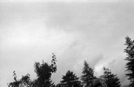
Photograph depicts the tops of trees and sky with an unknown man's head at the Prince Rupert Sea Festival.
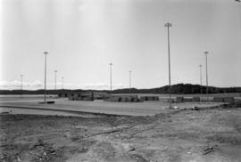
Photograph depicts a shipping terminal in Prince Rupert. Shipping containers are in the distance.
Photograph depicts a shipping terminal in Prince Rupert. The ocean is visible in the background.
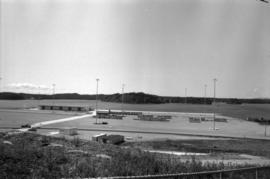
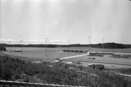
Photograph depicts a shipping terminal in Prince Rupert. The photo is taken from a hill, and several shipping containers sit in the almost empty lot. The ocean is visible in the background.
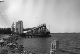
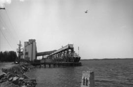
Photograph depicts the Prince Rupert grain facility from shore with a helicopter flying overhead.
Photograph depicts the Prince Rupert grain facility from shore with a helicopter flying overhead.
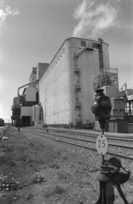
Photograph depicts an exterior view of the Prince Rupert grain facility with nearby railroad tracks.
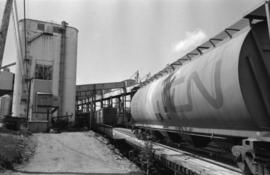
Photograph depicts the Prince Rupert grain facility and a CN grain car.
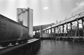
Photograph depicts the Prince Rupert grain facility on the ocean and a CN grain car.
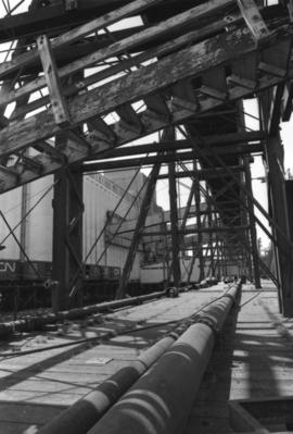
Photograph depicts a part of the Prince Rupert grain facility.
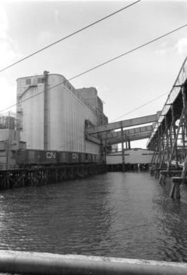
Photograph depicts the Prince Rupert grain facility on the ocean with Canadian National Rail cars.
Publication is entitled "Prince Rupert Bulk Loading Facility: Phase 2 Environmental Assessment of Alternatives" by the Northcoast Environmental Analysis Team.
Map depicts Prince Edward Island noting the main highways, hospitals, airports, provincial parks, beaches, golf courses, tuna fishing, and camp grounds.
Photograph depicts Prime Minister Trudeau signing an autograph at an unknown location (possibly Haida Gwaii).
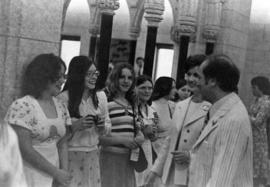
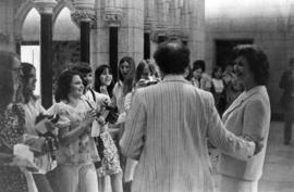
Photograph depicts Prime Minister Trudeau and Iona Campagnolo with students from Burns Lake in the House of Commons.
Photograph depicts Prime Minister Trudeau and Iona Campagnolo with students from Burns Lake in the House of Commons.
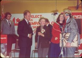
Stage festooned with ‘Liberal’ and ‘Re-elect Iona Campagnolo’ signs. Podium and microphone in foreground.
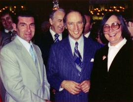
Photograph depicts Prime Minister Pierre Trudeau, Evelyn Basso, and a man standing in a crowd at a Northern BC Winter Games event in Prince George.
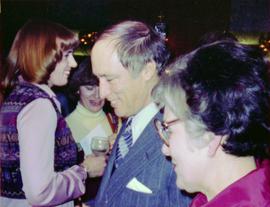
Photograph depicts Prime Minister Pierre Trudeau and three women in a crowd at a Northern BC Winter Games event in Prince George.
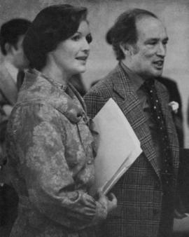
Photograph depicts Iona Campagnolo talking to Prime Minister Pierre Trudeau at an unknown location.
Photograph depicts Iona Campagnolo talking to Prime Minister Pierre Trudeau at an unknown location.
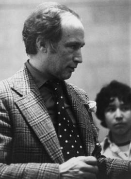
Photograph depicts Prime Minister Pierre Trudeau talking at an unknown location.
