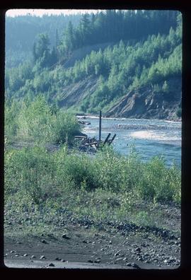
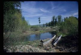
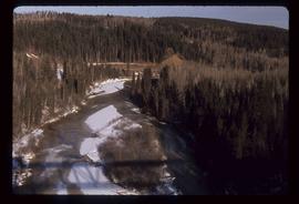
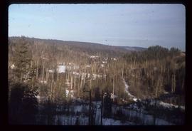
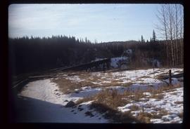
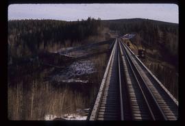
Image depicts a creek near Quesnelle Forks, B.C.
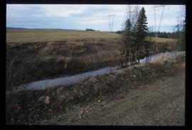
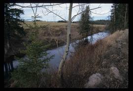
Image depicts a creek near Iron Road North, north of Woodpecker, B.C.
Image depicts a creek near Iron Road North, north of Woodpecker, B.C.
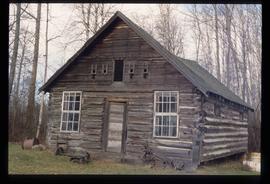
The item is a photograph depicting the front and side of the log Cranbrook Mills schoolhouse. Building is weathered with a sagging roof and collapsing wall.
The item is a photograph depicting the front and side of the log Cranbrook Mills schoolhouse. Building is weathered with a sagging roof and collapsing wall. Annotation on reverse side of photograph states, "Cranbrook Mills, Cranbrook Hill School. Courtesy: Kent Sedgwick. 215."
The item is a photograph depicting the front and side of the log Cranbrook Mills schoolhouse. Building is weathered with a sagging roof.
The item is a photograph depicting the front of the log Cranbrook Mills schoolhouse. Building is weathered.
The item is a photograph depicting the front of the log Cranbrook Mills schoolhouse. Building is weathered. Annotation on reverse side of photograph states, "Kodak Gold 200."
The item is a photograph depicting the front and side of the log Cranbrook Mills schoolhouse. Building is weathered with a sagging roof and collapsing wall.
The item is a photograph depicting the front of the log Cranbrook Mills schoolhouse. Building is weathered.
File consists of notes relating to the Cranbrook Mills Elementary School. Also includes photographs depicting the old Cranbrook Mills School (2005).
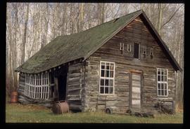
Image depicts an old, collapsing cabin at an uncertain location; possibly Woodpecker B.C.
Image depicts an old, collapsing cabin at an uncertain location; possibly Woodpecker B.C.
Item is an original orthophoto depicting Cranbrook hill's greenway and multi-use trail and was published by the Indistrial Forestry Service Ltd.
The item is a photograph negative of a man and woman sitting in front of a house. They are dressed in formal attire and are drinking what appears to be a glass of wine.
The item is a photograph negative of a man and woman sitting in front of a house. They are dressed in formal attire and are drinking what appears to be a glass of wine.
The item is a photograph negative of a man and woman sitting in front of a house. They are dressed in formal attire and are drinking what appears to be a glass of wine.
The item is a map depicting the area surrounding the Cottonwood River in the Cariboo Land District. Various annotations are mad in pen on the map.
Image depicts a the Cottonwood Island Nature Park sign and map in Prince George, B.C.
Image depicts a the Cottonwood Island Nature Park sign and map in Prince George, B.C.
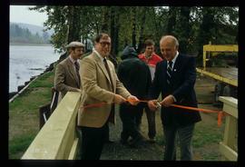
Image depicts Elmer Mercier, a former mayor of Prince George, B.C., cutting the ribbon to open Cottonwood Park's Heritage Trail.
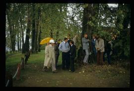
Image depicts a crowd of people in Cottonwood Park in Prince George, B.C.
File consists of records created and collected by Kent Sedgwick regarding the removal of Island Cache residents after the 1972 flood and suggestions for creation of park on Cottonwood Island. The majority of the file consists of reproduced City of Prince George records. Includes memoranda to and from the mayor, city manager, and aldermen; meeting minutes of the Flood Committee; city reports on Cottonwood Island and the flooding situation; a listing of Cottonwood Island properties offered for sale to the municipality; a report entitled "Cottonwood Island - A report on desirable land use" (Nov. 1970); a "Proposal for Cottonwood Island as a Park Reserve" (1973); a document from the Cottonwood Island Study Committee; correspondence from Mary Fallis; and a City of Prince George memorandum regarding a Public Hearing.
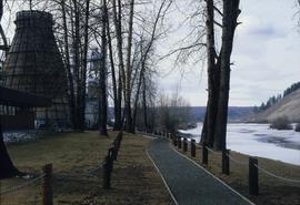
Image depicts a nature trail in Cottonwood Island Park by a beehive burner. Map coordinates 53°55'23.6"N 122°43'53.8"W
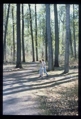
Image depicts a couple walking through a nature trail in Cottonwood Island Park. Map coordinates 53°55'23.6"N 122°43'53.8"W
File consists of maps and plans depicting the Cottonwood Island area in Prince George. Includes:
- "Plan of Subdivision pursuant to the replotting provisions of the Municipal Act of Parcel A of Plan 25046, of District Lots 343, 662, 1511, 4736, and 7813, Cariboo District" by McWilliam, Whyte, Goble & Associates B.C. Land Surveyors for the City of Prince George, 26 July 1979 (reproduction on 2 sheets)
- "Cottonwood Island" original draft map with annotations by Kent Sedgwick; the map may have been created by Sedgwick during his time as Senior City Planner with the City of Prince George [197-?]
- "Prince George B.C., Fraser Subdivision, Mile 146.05" plan for Canadian National Railways by Lockwood Survey Corporation Ltd., 1967. This very large technical drawing shows CN leases and private property buildings on Island Cache in detail.
- McWilliam-Whyte-Goble & Associates, B.C. Land Surveyors, "Plan Showing Sections in Proposed Lakeland Mill Site", July 1978 (original reproduction).
- Carroll, Hatch & Associates, "Lakeland Mills (1973) Ltd., Prince George, B.C., Stud Mill Studies, Site Plan", 31 July 1978 (original reproduction).
File consists of records created and collected by Kent Sedgwick regarding Cottonwood Island in connection with his employment with the City of Prince George Planning Department. Includes briefs, proposals, memoranda, correspondence, newspaper clippings, questionnaires, legal correspondence, meeting minutes, and photocopied excerpts from maps/plans. Also includes two polaroid photo prints depicting garbage in Cottonwood Island Park circa 1979. Highlights include:
- Prince George Kiwanis Club, "Brief to City Council, City of Prince George, re: Nechako Riverfront Park", 12 Mar. 1973.
- New Caledonia Institute of Environmental Studies, "Proposal for Cottonwood Island as a Park Reserve", Summer 1973.
- "Cottonwood Island Study", [before 1975] (photocopy).
- Mary Fallis, "Letter to the Editor of The Citizen", 5 Mar. 1976 (photocopy).
- City of Prince George Planning Department, "Ownership, Legal and Assessment Data - Private and School District Properties within the Proposed Replot Area [Island Cache]", 11 Oct. 1978.
- "Assessed Values for City and Crown Lands within the Proposed Replot Area North of First Ave" (handwritten table), 16 Oct. 1978.
File consists of proposals and documents by Kent Sedgwick regarding Cottonwood Island. Includes: "Proposal for Cottonwood Island as a Park Reserve" and "Some Comments on the Cottonwood Island Park Designation of the Official Community Plan".
File consists of records created and collected by Kent Sedgwick regarding Cottonwood Island. Includes: "Welcome to Cottonwood Island Nature Park" brochure [197-?]; "A Brief History of Cottonwood Island Park" by Kent Sedgwick (2001); "History of Cottonwood Island Park and Side Channel Restoration" (2001?); a Regional District of Fraser-Fort George "Notice of Public Hearing" (1973); an outline for "Cottonwood Island Brief" (1973); an original copy of the "Cottonwood Island Study" by the Regional District of Fraser-Fort George (1975); annotated hand-drawn small maps of Cottonwood Island; photocopied aerial photographs; and photocopied newspaper clippings about Cottonwood Island and Island Cache. Also includes 15 colour photographic prints and accompanying negatives taken of Cottonwood Island by Bob Nelson.
File consists of clippings, notes, and reproductions relating to the history of Cottonwood Island in Prince George. Includes: "A brief history of cottonwood island" typed draft by Kent Sedgwick (Nov. 2009); "Cottonwood Island area suggestions for street names" typescript document by Kent Sedgwick for the Heritage Advisory Committee; and "Proposal for Cottonwood Island as a park reserve" typescript document by Kent Sedgwick (Aug. 1973). File also includes "Kent Sedgwick - Island Cache / Cottonwood Island" a CD-R containing photographs of the Cottonwood Island and Island Cache area (2009).
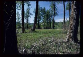
Image depicts Cottonwood Island.
File contains slides depicting Cottonwood Island in Prince George, B.C.
File consists of notes and reproductions relating to Cottonwood Island in Prince George, formerly named Island Cache and Foley's Cache. Includes: "A brief history of Cottonwood Island Park" typed document by Kent Sedgwick (Nov. 2009).
Image depicts Cottonwood Island.
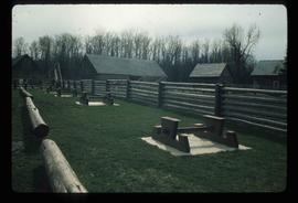
Image depicts the picnic site of the Cottonwood House Historic Site, located on the Barkerville Highway, east of Quesnel, B.C.
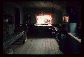
Image depicts the kitchen area of the interior of the Cottonwood House.
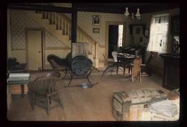
Image depicts the living area of the interior of the Cottonwood House.
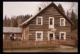
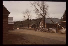
Image depicts the Cottonwood House at the Historic Site located in Barkerville, B.C.
Image depicts the Cottonwood House.
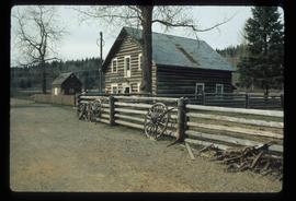
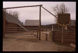
Image depicts the Cottonwood House Historic Site along Barkerville Highway, east of Quesnel, B.C. A sign posted by the fence reads: "For over half a century the Boyd family operated this haven for man and beast. Here weary travellers found lodging, food, and drink. Here fresh horses were hitched to stage-coaches and miners bought supplies. This historic road-house, built in 1864, stood as an oasis of civilization on the frontier of a rich new land."
Image depicts the Cottonwood House.
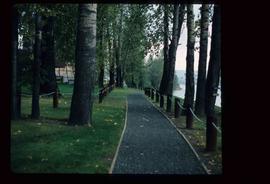
Image depicts a section of the Heritage Trail on Cottonwood Island in Prince George, B.C.
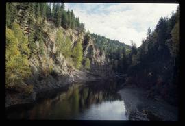
Image depicts the Cottonwood Canyon.
Image depicts a view of a river from the Cottonwood Bridge.
Image depicts a forest; the image is possibly taken from somewhere near the Cottonwood Rail Road Bridge.
Image depicts a rail road bridge, possibly the Cottonwood Bridge, at an uncertain location.
Image depicts the Cottonwood Bridge.
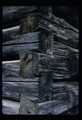
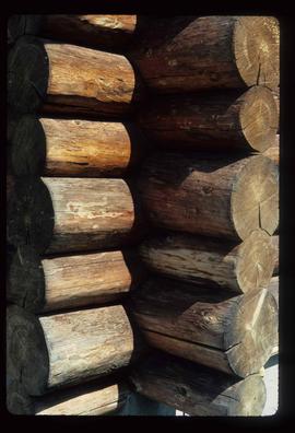
Image depicts the corner of a log house, the slide itself labels the picture as being from Barkerville, B.C. and also indicates the corner is an example of a "round log" dovetail joint.
Image depicts the corner of a log house at an unknown location.
